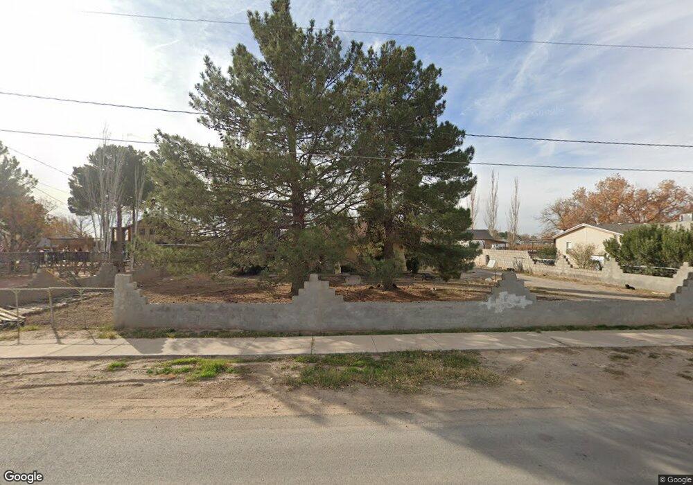
636 Richardson Rd El Paso, TX 79927
Estimated Value: $203,000 - $273,000
3
Beds
1
Bath
1,395
Sq Ft
$164/Sq Ft
Est. Value
About This Home
This home is located at 636 Richardson Rd, El Paso, TX 79927 and is currently estimated at $228,947, approximately $164 per square foot. 636 Richardson Rd is a home located in El Paso County with nearby schools including Robert R Rojas Elementary School, Ernesto Serna School, and Socorro High School.
Ownership History
Date
Name
Owned For
Owner Type
Purchase Details
Closed on
Jan 27, 1996
Sold by
Michael W Chuhay Family Trust
Bought by
Oporto Frank and Gameros Irene
Current Estimated Value
Home Financials for this Owner
Home Financials are based on the most recent Mortgage that was taken out on this home.
Original Mortgage
$35,000
Interest Rate
7.03%
Mortgage Type
Seller Take Back
Purchase Details
Closed on
Jan 4, 1996
Sold by
Rodriguez Silvestre and Rodriguez Manuela
Bought by
Michael W Chuhay Family Trust
Home Financials for this Owner
Home Financials are based on the most recent Mortgage that was taken out on this home.
Original Mortgage
$35,000
Interest Rate
7.03%
Mortgage Type
Seller Take Back
Create a Home Valuation Report for This Property
The Home Valuation Report is an in-depth analysis detailing your home's value as well as a comparison with similar homes in the area
Home Values in the Area
Average Home Value in this Area
Purchase History
| Date | Buyer | Sale Price | Title Company |
|---|---|---|---|
| Oporto Frank | -- | -- | |
| Michael W Chuhay Family Trust | $22,000 | -- |
Source: Public Records
Mortgage History
| Date | Status | Borrower | Loan Amount |
|---|---|---|---|
| Previous Owner | Oporto Frank | $35,000 |
Source: Public Records
Tax History Compared to Growth
Tax History
| Year | Tax Paid | Tax Assessment Tax Assessment Total Assessment is a certain percentage of the fair market value that is determined by local assessors to be the total taxable value of land and additions on the property. | Land | Improvement |
|---|---|---|---|---|
| 2025 | $2,569 | $148,501 | -- | -- |
| 2024 | $2,569 | $135,001 | -- | -- |
| 2023 | $2,408 | $122,728 | $0 | $0 |
| 2022 | $3,409 | $111,571 | $0 | $0 |
| 2021 | $3,415 | $101,428 | $19,716 | $81,712 |
| 2020 | $3,118 | $92,859 | $19,716 | $73,143 |
| 2018 | $2,841 | $90,865 | $19,716 | $71,149 |
| 2017 | $2,709 | $87,142 | $16,736 | $70,406 |
| 2016 | $2,709 | $87,142 | $16,736 | $70,406 |
| 2015 | $2,478 | $87,142 | $16,736 | $70,406 |
| 2014 | $2,478 | $87,929 | $16,736 | $71,193 |
Source: Public Records
Map
Nearby Homes
- 609 Harvest Grove Ln
- 601 Harvest Grove Ln
- 480 Deserts Dr
- 12028 Iron Hollow St
- 12037 Iron Hollow St
- 12036 Cotton Cloud Way
- 12041 Iron Hollow St
- 413 Deserts Dr
- 409 Deserts Dr
- 11972 Loess Place
- 1125 Worsham Rd
- 477 Deserts Dr
- 11600 Leonor Duran St
- 421 Valle Los Nogales Dr
- 331 Valle Lindo Dr
- 11511 Leonor Duran St
- 450 Perla Bonita Rd
- 453 Sun Temple Rd
- 11500 Summer Dr Unit A & B
- 410 Valle Rojo Dr
- 630 Richardson Rd
- 642 Richardson Rd
- 624 Richardson Rd
- 11681 Pamela Raye Rd
- 11897 N Loop Dr
- 612 Richardson Rd
- 11922 Pamela Raye Rd
- 11800 Pamela Raye Rd
- 666 Richardson Rd
- 11806 Pamela Raye Rd
- 11910 Pamela Raye Rd
- 619 Stevie Ln
- 11812 Pamela Raye Rd
- 11921 Pamela Raye Rd
- 600 Richardson Rd
- 11904 Pamela Raye Rd
- 11927 Pamela Raye Rd
- 11933 Pamela Raye Rd
- 11980 Crevasse Dr
- 11984 Crevasse Dr