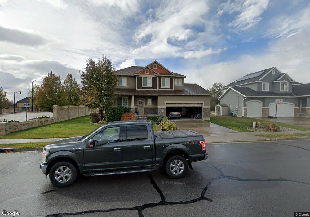
636 S 650 W Unit 321 Layton, UT 84041
Estimated Value: $656,000 - $688,000
4
Beds
3
Baths
3,122
Sq Ft
$217/Sq Ft
Est. Value
About This Home
This home is located at 636 S 650 W Unit 321, Layton, UT 84041 and is currently estimated at $677,043, approximately $216 per square foot. 636 S 650 W Unit 321 is a home located in Davis County with nearby schools including Layton Elementary School, Fairfield Junior High School, and Layton High School.
Ownership History
Date
Name
Owned For
Owner Type
Purchase Details
Closed on
Dec 21, 2020
Sold by
Chinsky Esther
Bought by
Chinsky Esther and Chinsky Joshua
Current Estimated Value
Home Financials for this Owner
Home Financials are based on the most recent Mortgage that was taken out on this home.
Original Mortgage
$472,287
Outstanding Balance
$419,507
Interest Rate
2.7%
Mortgage Type
FHA
Estimated Equity
$257,536
Purchase Details
Closed on
Dec 16, 2020
Sold by
Wilkinson Dave W and Patton Bekki T
Bought by
Chinsky Esther
Home Financials for this Owner
Home Financials are based on the most recent Mortgage that was taken out on this home.
Original Mortgage
$472,287
Outstanding Balance
$419,507
Interest Rate
2.7%
Mortgage Type
FHA
Estimated Equity
$257,536
Create a Home Valuation Report for This Property
The Home Valuation Report is an in-depth analysis detailing your home's value as well as a comparison with similar homes in the area
Home Values in the Area
Average Home Value in this Area
Purchase History
| Date | Buyer | Sale Price | Title Company |
|---|---|---|---|
| Chinsky Esther | -- | North American Tit | |
| Chinsky Esther | -- | Stewart Title Ins Age |
Source: Public Records
Mortgage History
| Date | Status | Borrower | Loan Amount |
|---|---|---|---|
| Open | Chinsky Esther | $472,287 |
Source: Public Records
Tax History Compared to Growth
Tax History
| Year | Tax Paid | Tax Assessment Tax Assessment Total Assessment is a certain percentage of the fair market value that is determined by local assessors to be the total taxable value of land and additions on the property. | Land | Improvement |
|---|---|---|---|---|
| 2025 | $2,992 | $314,050 | $110,857 | $203,193 |
| 2024 | $2,975 | $314,599 | $121,464 | $193,135 |
| 2023 | $2,967 | $304,150 | $67,392 | $236,757 |
| 2022 | $3,195 | $588,000 | $136,455 | $451,545 |
| 2021 | $3,014 | $455,000 | $112,589 | $342,411 |
| 2020 | $2,707 | $392,000 | $95,129 | $296,871 |
| 2019 | $2,644 | $375,000 | $96,702 | $278,298 |
| 2018 | $2,409 | $343,000 | $84,915 | $258,085 |
| 2016 | $2,321 | $170,500 | $33,821 | $136,679 |
| 2015 | $2,218 | $154,660 | $33,821 | $120,839 |
| 2014 | $2,523 | $179,880 | $33,821 | $146,059 |
| 2013 | -- | $145,249 | $37,058 | $108,191 |
Source: Public Records
Map
Nearby Homes
- 774 W Farming Way
- 562 S 850 W
- 267 S Melody St
- 362 S 950 W
- 1038 S Old Towne Rd
- 296 S 950 W
- 1042 W Shoreline Dr
- 557 S Angel St
- 174 W Dawson St
- Creighton Farmhouse Plan at Angel Hill
- 355 W Gentile St
- 750 W Gentile St
- 268 E 900 S
- 356 W 25 N
- 485 W 100 N
- 933 W Gentile St
- 282 E 925 S
- 256 Seemore Dr
- 6 Grover St
- 1429 W Lincoln Way
- 636 S Vance Dr
- 624 S Vance Dr
- 631 S Vance Dr Unit 320
- 631 S Vance Dr
- 598 S Vance Dr
- 642 S Vance Dr
- 617 S Vance Dr Unit 319
- 594 S 650 W
- 682 W 650 S
- 594 S Vance Dr
- 639 S Vance Dr
- 597 W 600 S Unit 318
- 648 S Vance Dr
- 620 W 600 S Unit 306
- 647 S Vance Dr
- 590 S 650 W
- 690 W 650 S
- 585 W 600 S
- 652 S 650 W
- 583 S 650 W