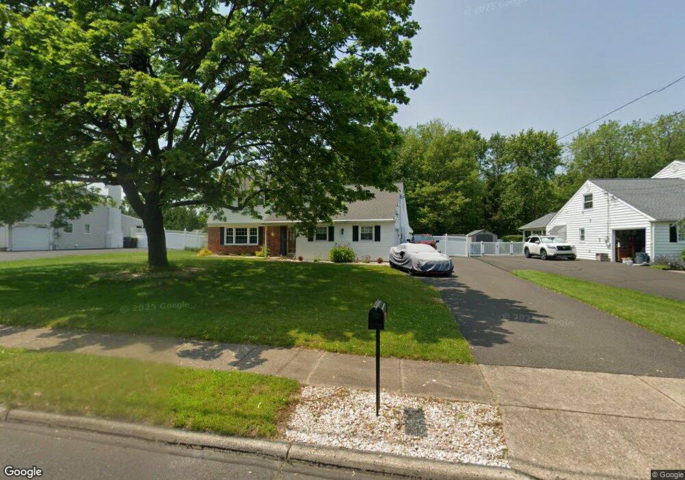
636 Serrill Dr Hatboro, PA 19040
Estimated Value: $505,826 - $562,000
4
Beds
2
Baths
2,272
Sq Ft
$240/Sq Ft
Est. Value
About This Home
This home is located at 636 Serrill Dr, Hatboro, PA 19040 and is currently estimated at $544,457, approximately $239 per square foot. 636 Serrill Dr is a home located in Montgomery County with nearby schools including Hallowell Elementary School, Keith Valley Middle School, and Hatboro-Horsham Senior High School.
Ownership History
Date
Name
Owned For
Owner Type
Purchase Details
Closed on
Sep 29, 2006
Sold by
Birnstiel Edward G and Birnstiel Theresa A
Bought by
Doran Gropp Cheryl L and Gropp Stephen
Current Estimated Value
Home Financials for this Owner
Home Financials are based on the most recent Mortgage that was taken out on this home.
Original Mortgage
$284,720
Outstanding Balance
$169,992
Interest Rate
6.47%
Estimated Equity
$374,465
Purchase Details
Closed on
Dec 20, 1999
Sold by
Birnstiel Theresa A and Birnstiel Edward G
Bought by
Birnstiel Edward G and Birnstiel Theresa A
Create a Home Valuation Report for This Property
The Home Valuation Report is an in-depth analysis detailing your home's value as well as a comparison with similar homes in the area
Home Values in the Area
Average Home Value in this Area
Purchase History
| Date | Buyer | Sale Price | Title Company |
|---|---|---|---|
| Doran Gropp Cheryl L | $355,900 | None Available | |
| Birnstiel Edward G | -- | -- |
Source: Public Records
Mortgage History
| Date | Status | Borrower | Loan Amount |
|---|---|---|---|
| Open | Doran Gropp Cheryl L | $284,720 |
Source: Public Records
Tax History
| Year | Tax Paid | Tax Assessment Tax Assessment Total Assessment is a certain percentage of the fair market value that is determined by local assessors to be the total taxable value of land and additions on the property. | Land | Improvement |
|---|---|---|---|---|
| 2025 | $6,239 | $158,710 | $45,760 | $112,950 |
| 2024 | $6,239 | $158,710 | $45,760 | $112,950 |
| 2023 | $5,938 | $158,710 | $45,760 | $112,950 |
| 2022 | $5,746 | $158,710 | $45,760 | $112,950 |
| 2021 | $5,610 | $158,710 | $45,760 | $112,950 |
| 2020 | $5,478 | $158,710 | $45,760 | $112,950 |
| 2019 | $5,372 | $158,710 | $45,760 | $112,950 |
Source: Public Records
Map
Nearby Homes
- 25 Patriot Ln
- 36 Patriot Ln
- 18 Patriot Ln
- 616 Liberty Ridge Rd
- 604 Liberty Ridge Rd
- 623 Liberty Ridge Rd
- 619 Liberty Ridge Rd
- 604 America #Northbrook Model Dr
- 602 America Dr Unit FARADAY MODEL HOME
- 537 Sherwood Ln
- 607 America Dr
- 532 Sherwood Ln
- 204 Wilson Ave
- 407 W Moreland Ave
- 1171 W County Line Rd
- 711 W County Line Rd
- 60 Caledonia Dr
- 733 W County Line Rd
- 1246 Victoria Rd
- 216 Columbia Ave
Your Personal Tour Guide
Ask me questions while you tour the home.