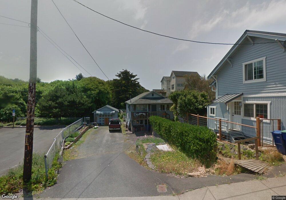
636 SW 32nd St Lincoln City, OR 97367
Nelscott Beach NeighborhoodEstimated Value: $400,544 - $675,000
3
Beds
2
Baths
704
Sq Ft
$704/Sq Ft
Est. Value
About This Home
This home is located at 636 SW 32nd St, Lincoln City, OR 97367 and is currently estimated at $495,386, approximately $703 per square foot. 636 SW 32nd St is a home located in Lincoln County with nearby schools including Taft Elementary School, Oceanlake Elementary School, and Taft High School.
Ownership History
Date
Name
Owned For
Owner Type
Purchase Details
Closed on
Apr 2, 2014
Sold by
Jones Marie
Bought by
Jones Marie
Current Estimated Value
Home Financials for this Owner
Home Financials are based on the most recent Mortgage that was taken out on this home.
Original Mortgage
$14,320
Interest Rate
4.23%
Mortgage Type
Unknown
Create a Home Valuation Report for This Property
The Home Valuation Report is an in-depth analysis detailing your home's value as well as a comparison with similar homes in the area
Home Values in the Area
Average Home Value in this Area
Purchase History
| Date | Buyer | Sale Price | Title Company |
|---|---|---|---|
| Jones Marie | -- | None Available |
Source: Public Records
Mortgage History
| Date | Status | Borrower | Loan Amount |
|---|---|---|---|
| Previous Owner | Jones Marie | $14,320 |
Source: Public Records
Tax History Compared to Growth
Tax History
| Year | Tax Paid | Tax Assessment Tax Assessment Total Assessment is a certain percentage of the fair market value that is determined by local assessors to be the total taxable value of land and additions on the property. | Land | Improvement |
|---|---|---|---|---|
| 2024 | $2,828 | $165,880 | -- | -- |
| 2023 | $2,750 | $161,050 | $0 | $0 |
| 2022 | $2,673 | $156,360 | $0 | $0 |
| 2021 | $2,547 | $151,810 | $0 | $0 |
| 2020 | $2,488 | $147,390 | $0 | $0 |
| 2019 | $2,403 | $143,100 | $0 | $0 |
| 2018 | $2,349 | $138,940 | $0 | $0 |
| 2017 | $2,249 | $134,900 | $0 | $0 |
| 2016 | $2,109 | $130,980 | $0 | $0 |
| 2015 | $2,062 | $127,170 | $0 | $0 |
| 2014 | $2,010 | $123,470 | $0 | $0 |
| 2013 | -- | $119,880 | $0 | $0 |
Source: Public Records
Map
Nearby Homes
- 0 SW Coast Ave Unit 672468764
- 3000 Blk SW Hwy 101 Tl 13602 & Tl 13605
- 3000 Blk SW Hwy 101 Tl 13605
- TL 5603 SW Anchor Ave
- TL#2200 SW Anchor Ave
- 2972 SW Anchor Ave
- 2200 SW Anchor Ave
- 3000 Blk SW Hwy 101 Tl 13602
- 2900 SW Anchor Ave Parcels 1 & 2
- 2900 SW Anchor Ave Parcel 1
- 2900 SW Anchor Ave Parcel 2
- 3503 SW Anchor Tl 1500 1501
- 3503 SW Anchor Tl 1500 Ave
- 3500 Blk SW Anchor Tl 1501
- 2764 SW Anchor Ave
- 2700 blk SW Dune Ct
- 784 SW 28th Ct
- 2746 SW Barnacle Ave
- 2729 SW Coast Ave
- TL 1200 SW Anchor Ct
- 3224 SW Beach Ave
- 632 SW 32nd St
- 3232 SW Beach Ave
- 3218 SW Beach Ave
- 3240 SW Beach Ave
- 3210 SW Beach Ave
- 3248 SW Beach Ave
- 633 SW 32nd St
- 3219 SW Highway 101
- 3219 SW Beach Ave
- 3158 SW Beach Ave
- 3258 SW Beach Ave
- 3227 SW Beach Ave
- 3229 U S 101
- 3143 SW Coast Ave
- 3237 SE Highway 101
- 3237 SW Beach Ave
- 538 SW 32nd St
- 3203 SE Highway 101
- 3243 SE Highway 101