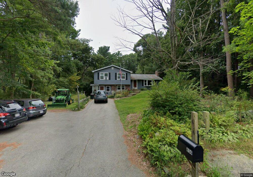
636 Wethersfield St Rowley, MA 01969
Estimated Value: $662,352 - $772,000
3
Beds
2
Baths
1,489
Sq Ft
$490/Sq Ft
Est. Value
About This Home
This home is located at 636 Wethersfield St, Rowley, MA 01969 and is currently estimated at $729,338, approximately $489 per square foot. 636 Wethersfield St is a home located in Essex County with nearby schools including Triton Regional High School, North Shore Montessori School, and Clark School.
Ownership History
Date
Name
Owned For
Owner Type
Purchase Details
Closed on
Jul 12, 2022
Sold by
Herrick Karen A and Herrick Robert D
Bought by
Herrick Karen A
Current Estimated Value
Purchase Details
Closed on
Jun 30, 1993
Sold by
Quill Daniel M and Quill Ann L
Bought by
Herrick Robert D and Herrick Karen
Create a Home Valuation Report for This Property
The Home Valuation Report is an in-depth analysis detailing your home's value as well as a comparison with similar homes in the area
Home Values in the Area
Average Home Value in this Area
Purchase History
| Date | Buyer | Sale Price | Title Company |
|---|---|---|---|
| Herrick Karen A | -- | None Available | |
| Herrick Robert D | $155,100 | -- |
Source: Public Records
Mortgage History
| Date | Status | Borrower | Loan Amount |
|---|---|---|---|
| Previous Owner | Herrick Robert D | $50,000 | |
| Previous Owner | Herrick Robert D | $185,000 | |
| Previous Owner | Herrick Robert D | $50,000 |
Source: Public Records
Tax History Compared to Growth
Tax History
| Year | Tax Paid | Tax Assessment Tax Assessment Total Assessment is a certain percentage of the fair market value that is determined by local assessors to be the total taxable value of land and additions on the property. | Land | Improvement |
|---|---|---|---|---|
| 2025 | $7,529 | $639,700 | $306,900 | $332,800 |
| 2024 | $7,433 | $614,300 | $292,300 | $322,000 |
| 2023 | $6,796 | $522,000 | $253,600 | $268,400 |
| 2022 | $6,991 | $478,200 | $211,100 | $267,100 |
| 2021 | $6,525 | $418,800 | $184,100 | $234,700 |
| 2020 | $6,204 | $398,200 | $175,700 | $222,500 |
| 2019 | $5,768 | $392,900 | $175,700 | $217,200 |
| 2018 | $5,500 | $377,200 | $175,700 | $201,500 |
| 2017 | $5,284 | $373,700 | $175,700 | $198,000 |
| 2016 | $5,086 | $354,200 | $152,600 | $201,600 |
| 2015 | $4,762 | $334,400 | $152,600 | $181,800 |
Source: Public Records
Map
Nearby Homes
- 30 Christa Dr
- 2 & 4 Tenney Ct
- 304-312 Wethersfield St
- 308 & 312 Wethersfield St
- 66 2 Parish Rd
- 9 Hawk Way
- 66 3 Parish Rd
- 76-78 Daniels Rd
- 4 Coleman Rd
- 15 School St
- 480 Newburyport Turnpike
- 460-472 Newburyport Turnpike
- 304 & 480 Wethersfield St & Nbpt Tnpk
- Lot 4 Osprey Ct
- Lot 3 Osprey Ct
- 1 Osprey Ct
- 66 Parish Rd Unit 4
- 10 Noyes Rd
- 79 Spencer Knowles Rd
- 78 Elm St
- 639 Wethersfield St
- 640 Wethersfield St
- 628 Wethersfield St
- 645 Wethersfield St
- 646 Wethersfield St
- 634 Wethersfield St
- 623 Wethersfield St
- 624 Wethersfield St
- 5 Farnham Rd
- 3 Farnham Rd
- 620 Wethersfield St
- 667 Wethersfield St
- 7 Forest St
- 6 Christa Dr
- 610 Wethersfield St
- 20 Farnham Rd
- 3 Forest St
- 12 Christa Dr
- 7 Christa Dr
- 14 Forest St