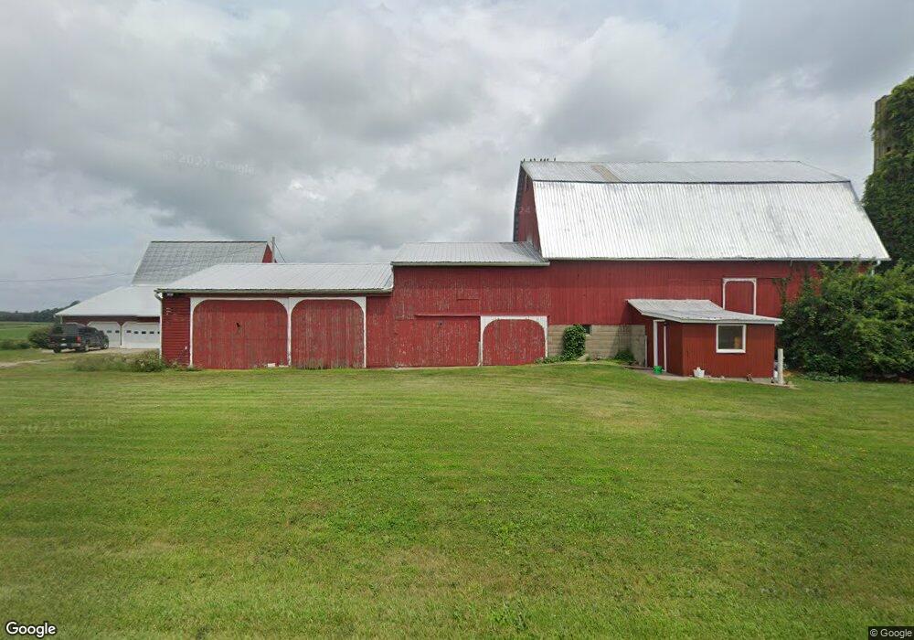
6360 Sampson Rd Camden, MI 49232
Estimated Value: $412,000 - $506,000
5
Beds
2
Baths
1,080
Sq Ft
$436/Sq Ft
Est. Value
About This Home
This home is located at 6360 Sampson Rd, Camden, MI 49232 and is currently estimated at $471,137, approximately $436 per square foot. 6360 Sampson Rd is a home located in Hillsdale County with nearby schools including Camden-Frontier K-8 School and Camden-Frontier High School.
Ownership History
Date
Name
Owned For
Owner Type
Purchase Details
Closed on
Sep 10, 2007
Sold by
Chaffee Richard G and Chaffee Joan L
Bought by
Baughman Arthur and Baughman Carolyn J
Current Estimated Value
Home Financials for this Owner
Home Financials are based on the most recent Mortgage that was taken out on this home.
Original Mortgage
$248,000
Interest Rate
6.71%
Mortgage Type
Purchase Money Mortgage
Purchase Details
Closed on
May 14, 2001
Sold by
Barry Theodore W and Barry Elizabeth L
Bought by
Chaffee Richard G and Chaffee Joan L
Purchase Details
Closed on
Oct 13, 1986
Sold by
Brenneman John M and Brenneman Anna
Bought by
Barry Theodore W and Barry Elizabeth L
Create a Home Valuation Report for This Property
The Home Valuation Report is an in-depth analysis detailing your home's value as well as a comparison with similar homes in the area
Home Values in the Area
Average Home Value in this Area
Purchase History
| Date | Buyer | Sale Price | Title Company |
|---|---|---|---|
| Baughman Arthur | $248,000 | First American Title | |
| Chaffee Richard G | $261,000 | -- | |
| Barry Theodore W | $60,000 | -- |
Source: Public Records
Mortgage History
| Date | Status | Borrower | Loan Amount |
|---|---|---|---|
| Closed | Baughman Arthur | $248,000 |
Source: Public Records
Tax History Compared to Growth
Tax History
| Year | Tax Paid | Tax Assessment Tax Assessment Total Assessment is a certain percentage of the fair market value that is determined by local assessors to be the total taxable value of land and additions on the property. | Land | Improvement |
|---|---|---|---|---|
| 2025 | $2,271 | $235,500 | $0 | $0 |
| 2024 | $1,035 | $211,200 | $0 | $0 |
| 2023 | $986 | $153,800 | $0 | $0 |
| 2022 | $2,075 | $147,100 | $0 | $0 |
| 2021 | $2,011 | $146,700 | $0 | $0 |
| 2020 | $2,041 | $147,000 | $0 | $0 |
| 2019 | $1,966 | $139,200 | $0 | $0 |
| 2018 | $1,872 | $127,600 | $0 | $0 |
| 2017 | $1,817 | $130,740 | $0 | $0 |
| 2016 | $1,798 | $127,460 | $0 | $0 |
| 2015 | $830 | $127,460 | $0 | $0 |
| 2013 | $804 | $78,220 | $0 | $0 |
| 2012 | $786 | $107,470 | $0 | $0 |
Source: Public Records
Map
Nearby Homes
- 0 W Territorial Rd Unit 25043960
- 0 W Territorial Rd Unit 11603977
- 107 Mary St
- 18405 County Road 2-50
- 9677 W Camden Rd
- 14934 Heather Ct
- 6524 W Montgomery Rd
- 14364 Horn Dr
- 623-624 Yuma Trail
- 115 N Michigan St
- 219 N Hayward St
- 0 Dimmers Rd
- 13551 Hillsdale Rd
- 600 Seneca Dr
- 988-989 Seneca Dr
- 00 County Road 150
- 7950 E 400 N
- 638 Seneca Dr
- 207 Modoc Trail
- 213 Navajo Trail
- 6211 Sampson Rd
- 6180 Sampson Rd
- 6051 Sampson Rd
- 6011 Sampson Rd
- 6740 Sampson Rd
- 5900 Sampson Rd
- 6911 Sampson Rd
- 6911 Sampson Rd
- 6000 Sampson Rd
- 0 Sampson Rd
- 5711 Sampson Rd
- 6960 Sampson Rd
- 5660 Sampson Rd
- 14151 Rice Rd
- 7211 Sampson Rd
- 14600 Rice
- 14500 Rice Rd
- 6315 Austin Rd
- 6111 Austin Rd
- 6751 Austin Rd