63608 Cattail Ln Joseph, OR 97846
Estimated Value: $1,215,000 - $2,178,000
4
Beds
4
Baths
5,463
Sq Ft
$313/Sq Ft
Est. Value
About This Home
This home is located at 63608 Cattail Ln, Joseph, OR 97846 and is currently estimated at $1,710,441, approximately $313 per square foot. 63608 Cattail Ln is a home located in Wallowa County with nearby schools including Enterprise Elementary School, Enterprise High School, and Enterprise Seventh-day Adventist School.
Ownership History
Date
Name
Owned For
Owner Type
Purchase Details
Closed on
Aug 15, 2006
Sold by
Gonyea Nancy L
Bought by
Stephens Bradlford A and Stephens Anne C
Current Estimated Value
Home Financials for this Owner
Home Financials are based on the most recent Mortgage that was taken out on this home.
Original Mortgage
$500,000
Outstanding Balance
$293,781
Interest Rate
6.37%
Mortgage Type
Adjustable Rate Mortgage/ARM
Estimated Equity
$1,416,660
Create a Home Valuation Report for This Property
The Home Valuation Report is an in-depth analysis detailing your home's value as well as a comparison with similar homes in the area
Home Values in the Area
Average Home Value in this Area
Purchase History
| Date | Buyer | Sale Price | Title Company |
|---|---|---|---|
| Stephens Bradlford A | $950,000 | None Available |
Source: Public Records
Mortgage History
| Date | Status | Borrower | Loan Amount |
|---|---|---|---|
| Open | Stephens Bradlford A | $500,000 |
Source: Public Records
Tax History Compared to Growth
Tax History
| Year | Tax Paid | Tax Assessment Tax Assessment Total Assessment is a certain percentage of the fair market value that is determined by local assessors to be the total taxable value of land and additions on the property. | Land | Improvement |
|---|---|---|---|---|
| 2024 | $6,971 | $655,920 | $25,910 | $630,010 |
| 2023 | $6,781 | $636,989 | $25,328 | $611,661 |
| 2022 | $6,580 | $618,609 | $24,763 | $593,846 |
| 2021 | $6,420 | $600,766 | $24,216 | $576,550 |
| 2020 | $5,888 | $583,441 | $23,683 | $559,758 |
| 2019 | $5,731 | $566,457 | $23,002 | $543,455 |
| 2018 | $5,578 | $549,959 | $22,332 | $527,627 |
| 2017 | $8,516 | $841,232 | $328,976 | $512,256 |
| 2016 | $8,285 | $816,731 | $0 | $0 |
| 2015 | $8,061 | $792,943 | $311,413 | $481,530 |
| 2014 | $7,754 | $769,848 | $305,987 | $463,861 |
| 2013 | $7,615 | $747,426 | $297,613 | $449,813 |
Source: Public Records
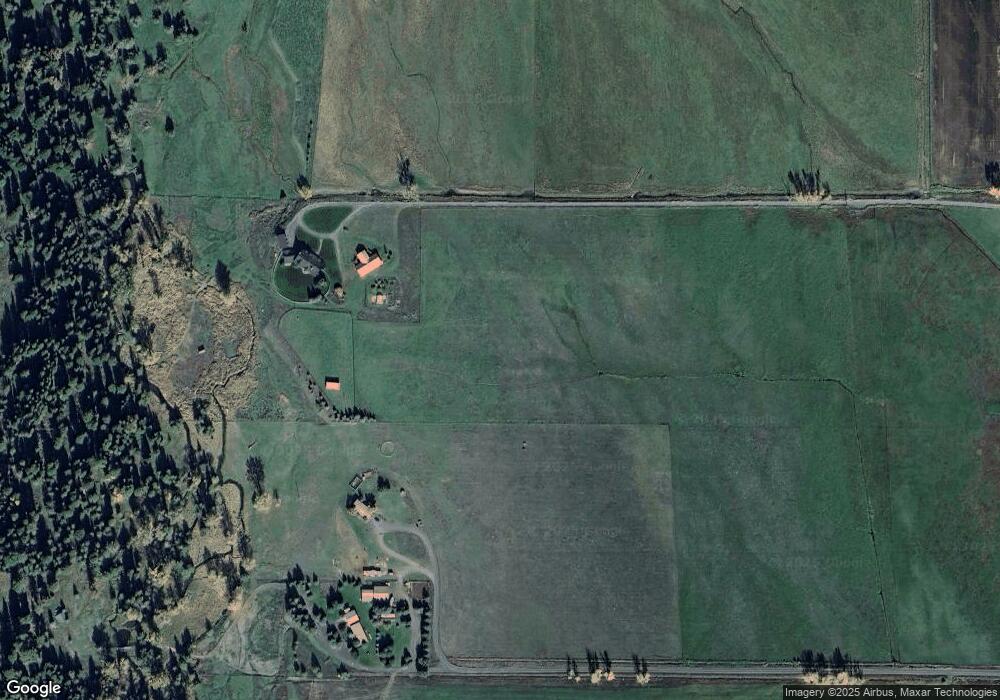
Map
Nearby Homes
- 82952 Eggleson Ln
- 19 Valley Heights Dr
- 80134 Countryside Rd
- 0 Russell Ln Unit 761772670
- 82757 Joseph Hwy
- 710 N Mill St
- 0 E Daggett St
- 0 S Main St Unit 277237767
- 118 Fish Hatchery Ln
- 204 N Russell St
- 0 S River St
- 63677 Woodland Dr
- 63677 Woodland Ln
- 701 SE Tacoma Ave
- 407 Residence St
- 204 Residence St
- 104 N College St
- 604 SW 2nd St
- 82580 Boner Ln
- 201 Litch St
- 60035 Latigo Ln
- 65695 Williamson Rd
- 64163 Williamson Rd
- 65487 Williamson Rd
- 64985 Williamson Rd
- 64084 Cattail Ln
- 64165 Williamson Rd
- 67404 Williamson Rd
- 60309 Latigo Ln
- 67656 Williamson Rd
- 0 Williamson Rd Unit 20403420
- 83419 W Dorrance Ln
- 83523 Eggleson Ln
- 64130 Cattail Ln
- 83285 Eggleson Ln
- 83214 Eggleson Ln
- 83581 E Dorrance Ln
- 83349 W Dorrance Ln
- 83126 Eggleson Ln