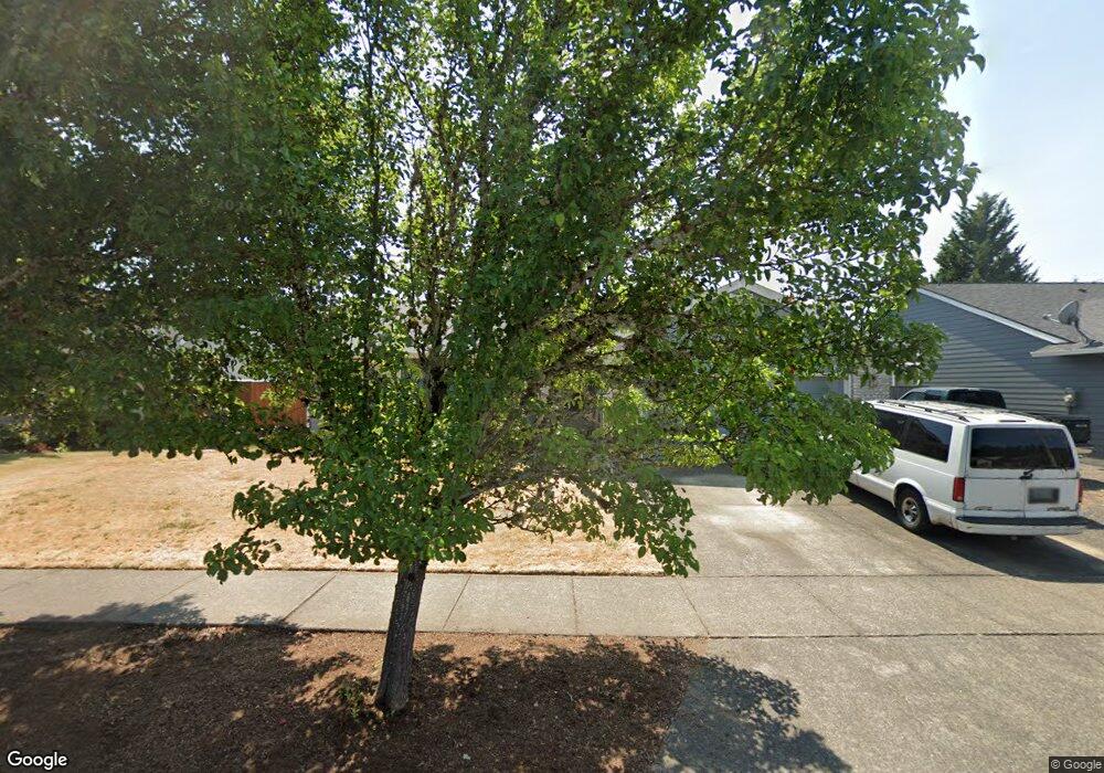
6362 SE Maple St Hillsboro, OR 97123
Southeast Hillsboro NeighborhoodEstimated Value: $519,001 - $536,000
3
Beds
2
Baths
1,498
Sq Ft
$352/Sq Ft
Est. Value
About This Home
This home is located at 6362 SE Maple St, Hillsboro, OR 97123 and is currently estimated at $528,000, approximately $352 per square foot. 6362 SE Maple St is a home located in Washington County with nearby schools including Imlay Elementary School, R.A. Brown Middle School, and Century High School.
Ownership History
Date
Name
Owned For
Owner Type
Purchase Details
Closed on
Jul 27, 2011
Sold by
Slotemaker David W and Slotemaker Mary R
Bought by
Slotemaker David W and Slotemaker Mary R
Current Estimated Value
Purchase Details
Closed on
Oct 27, 2006
Sold by
Christensen Eric J and Christensen Barbara S
Bought by
Slotemaker David W and Slotemaker Mary R
Home Financials for this Owner
Home Financials are based on the most recent Mortgage that was taken out on this home.
Original Mortgage
$195,930
Outstanding Balance
$117,063
Interest Rate
6.39%
Mortgage Type
Unknown
Estimated Equity
$410,937
Purchase Details
Closed on
Nov 17, 2004
Sold by
Real Steve and Real Jennifer
Bought by
Christensen Eric J and Christensen Barbara S
Home Financials for this Owner
Home Financials are based on the most recent Mortgage that was taken out on this home.
Original Mortgage
$152,000
Interest Rate
5.79%
Mortgage Type
Unknown
Purchase Details
Closed on
Sep 9, 1999
Sold by
Moorman Scott E and Moorman Stacy K
Bought by
Real Steve and Real Jennifer
Home Financials for this Owner
Home Financials are based on the most recent Mortgage that was taken out on this home.
Original Mortgage
$154,200
Interest Rate
7.89%
Purchase Details
Closed on
May 19, 1995
Sold by
Coe Construction Co
Bought by
Moorman Scott E and Terway Stacy K
Home Financials for this Owner
Home Financials are based on the most recent Mortgage that was taken out on this home.
Original Mortgage
$132,000
Interest Rate
7.92%
Purchase Details
Closed on
Apr 24, 1995
Sold by
Far West Properties Inc
Bought by
Coe Construction Co
Home Financials for this Owner
Home Financials are based on the most recent Mortgage that was taken out on this home.
Original Mortgage
$132,000
Interest Rate
7.92%
Purchase Details
Closed on
Apr 21, 1995
Sold by
The Aloha Land & Cattle Company
Bought by
Far West Properties Inc
Home Financials for this Owner
Home Financials are based on the most recent Mortgage that was taken out on this home.
Original Mortgage
$132,000
Interest Rate
7.92%
Create a Home Valuation Report for This Property
The Home Valuation Report is an in-depth analysis detailing your home's value as well as a comparison with similar homes in the area
Home Values in the Area
Average Home Value in this Area
Purchase History
| Date | Buyer | Sale Price | Title Company |
|---|---|---|---|
| Slotemaker David W | -- | None Available | |
| Slotemaker David W | $279,900 | First American | |
| Christensen Eric J | $212,000 | First American Title Insuran | |
| Real Steve | $159,000 | Fidelity National Title Co | |
| Moorman Scott E | $138,950 | Transamerica Title Insurance | |
| Coe Construction Co | $35,500 | Transamerica Title Insurance | |
| Far West Properties Inc | $33,000 | Chicago Title |
Source: Public Records
Mortgage History
| Date | Status | Borrower | Loan Amount |
|---|---|---|---|
| Open | Slotemaker David W | $195,930 | |
| Previous Owner | Christensen Eric J | $152,000 | |
| Previous Owner | Real Steve | $154,200 | |
| Previous Owner | Moorman Scott E | $132,000 | |
| Previous Owner | Coe Construction Co | $109,600 |
Source: Public Records
Tax History Compared to Growth
Tax History
| Year | Tax Paid | Tax Assessment Tax Assessment Total Assessment is a certain percentage of the fair market value that is determined by local assessors to be the total taxable value of land and additions on the property. | Land | Improvement |
|---|---|---|---|---|
| 2025 | $4,474 | $273,720 | -- | -- |
| 2024 | $4,347 | $265,750 | -- | -- |
| 2023 | $4,347 | $258,010 | $0 | $0 |
| 2022 | $4,229 | $258,010 | $0 | $0 |
| 2021 | $4,144 | $243,210 | $0 | $0 |
| 2020 | $4,055 | $236,130 | $0 | $0 |
| 2019 | $3,938 | $229,260 | $0 | $0 |
| 2018 | $3,770 | $222,590 | $0 | $0 |
| 2017 | $3,633 | $216,110 | $0 | $0 |
| 2016 | $3,534 | $209,820 | $0 | $0 |
| 2015 | $3,391 | $203,710 | $0 | $0 |
| 2014 | $3,372 | $197,780 | $0 | $0 |
Source: Public Records
Map
Nearby Homes
- 6417 SE Maple St
- 6461 SE Maple St
- 6204 SE Sigrid St
- 6194 SE Maple St
- 6273 SE Heike St
- 862 SE 63rd Dr
- 6550 SE Wrenfield St
- 6641 SE Wrenfield St
- 6428 SE Austin Ct
- 830 SE 59th Ave
- 0 SE 59th Ct
- 6751 SE Madison St
- 6874 SE Ariel St
- 818 SE 68th Place
- 7082 SE Lois St
- 1355 SE 68th Ave
- 1523 SE 63rd Place
- 6209 NE Dereck Ln
- 6538 NE Forest Ln
- 7200 SE Harnish St
- 6384 SE Maple St
- 6346 SE Maple St
- 6365 SE Sigrid St
- 6387 SE Sigrid St
- 6345 SE Sigrid St
- 6328 SE Maple St
- 6415 SE Sigrid St
- 6363 SE Maple St
- 6323 SE Sigrid St
- 6385 SE Maple St
- 6347 SE Maple St
- 6433 SE Sigrid St
- 6428 SE Maple St
- 6304 SE Maple St
- 6325 SE Maple St
- 6301 SE Sigrid St
- 6362 SE Heike Ct
- 6380 SE Heike Ct
- 6440 SE Maple St
- 6303 SE Maple St