63643 Andrews Rd Coos Bay, OR 97420
Estimated Value: $243,000 - $262,183
3
Beds
2
Baths
825
Sq Ft
$306/Sq Ft
Est. Value
About This Home
This home is located at 63643 Andrews Rd, Coos Bay, OR 97420 and is currently estimated at $252,592, approximately $306 per square foot. 63643 Andrews Rd is a home located in Coos County with nearby schools including Eastside School, Millicoma School, and Marshfield Senior High School.
Ownership History
Date
Name
Owned For
Owner Type
Purchase Details
Closed on
Feb 22, 2005
Sold by
Middleton William L and Middleton Clarinda A
Bought by
Wood Richard E and Wood Kelly A
Current Estimated Value
Home Financials for this Owner
Home Financials are based on the most recent Mortgage that was taken out on this home.
Original Mortgage
$86,400
Outstanding Balance
$43,858
Interest Rate
5.73%
Mortgage Type
Purchase Money Mortgage
Estimated Equity
$208,734
Create a Home Valuation Report for This Property
The Home Valuation Report is an in-depth analysis detailing your home's value as well as a comparison with similar homes in the area
Home Values in the Area
Average Home Value in this Area
Purchase History
| Date | Buyer | Sale Price | Title Company |
|---|---|---|---|
| Wood Richard E | $108,000 | First American Title |
Source: Public Records
Mortgage History
| Date | Status | Borrower | Loan Amount |
|---|---|---|---|
| Open | Wood Richard E | $86,400 |
Source: Public Records
Tax History Compared to Growth
Tax History
| Year | Tax Paid | Tax Assessment Tax Assessment Total Assessment is a certain percentage of the fair market value that is determined by local assessors to be the total taxable value of land and additions on the property. | Land | Improvement |
|---|---|---|---|---|
| 2024 | $1,954 | $131,550 | -- | -- |
| 2023 | $1,897 | $127,720 | $0 | $0 |
| 2022 | $1,871 | $124,000 | $0 | $0 |
| 2021 | $1,759 | $120,390 | $0 | $0 |
| 2020 | $1,712 | $120,390 | $0 | $0 |
| 2019 | $1,641 | $113,490 | $0 | $0 |
| 2018 | $1,592 | $110,190 | $0 | $0 |
| 2017 | $1,378 | $106,990 | $0 | $0 |
| 2016 | $1,337 | $103,880 | $0 | $0 |
| 2015 | $1,287 | $100,860 | $0 | $0 |
| 2014 | $1,283 | $97,930 | $0 | $0 |
Source: Public Records
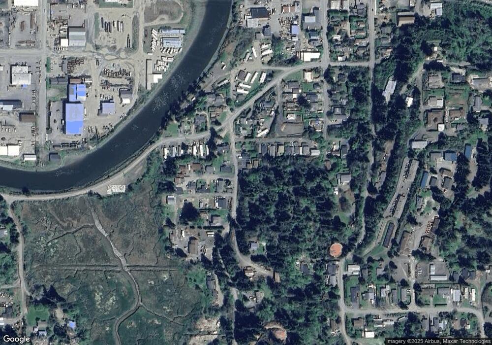
Map
Nearby Homes
- 0 Andrews Rd Unit 1 633770545
- 0 Andrews Rd
- 63642 Flanagan Rd
- 63606 Andrews Rd
- 0 Flanagan Rd
- 63757 Harriet Rd
- 63755 Flanagan Rd
- 63533 Flanagan Rd
- 0 Miriam Unit 740433342
- 1032 S 4th St
- 93195 Coal Bank Ln
- 93711 Bay Park Ln
- 63491 2nd Street Loop
- 63474 3rd Rd
- 63505 2nd Street Loop
- 766 Southwest Blvd
- 0 Johnson Ave
- 0 Ingersoll Ave
- 93778 Bay Park Ln
- 955 S 5th St
- 63647 Andrews Rd
- 93492 Andrews Rd
- 63653 Andrews Rd
- 63657 Andrews Rd
- 93532 Mccullum Ln
- 93540 Mccullum Ln
- 93466 Paradise Ln
- 63636 Andrews Rd
- 63652 Andrews Rd
- 93546 Mccullum Ln
- 63665 Andrews Rd
- 63682 S Barry Rd
- 63618 Andrews Rd
- 93455 Paradise Ln
- 93510 Coal Bank Ln
- 319 Mccullom
- 93554 Mccullum Ln
- 63614 Andrews Rd
- 63636 Paradise Ln
- 93454 Paradise Ln