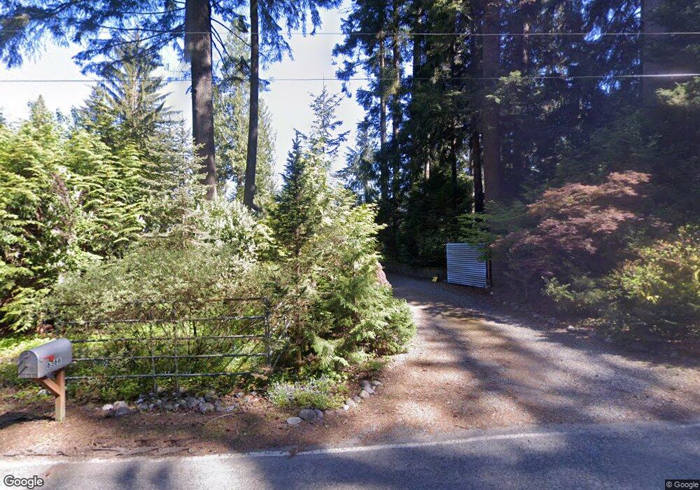
6366 Rutsatz Rd Deming, WA 98244
Estimated Value: $770,000 - $1,016,887
5
Beds
3
Baths
2,000
Sq Ft
$455/Sq Ft
Est. Value
About This Home
This home is located at 6366 Rutsatz Rd, Deming, WA 98244 and is currently estimated at $909,722, approximately $454 per square foot. 6366 Rutsatz Rd is a home located in Whatcom County with nearby schools including Mount Baker Senior High School.
Ownership History
Date
Name
Owned For
Owner Type
Purchase Details
Closed on
Dec 1, 2010
Sold by
Costello James Richard and Mcleod Gail Lea
Bought by
Osc Llc
Current Estimated Value
Purchase Details
Closed on
Sep 17, 2003
Sold by
Mcleod Stark Gail
Bought by
Costello James Richard
Purchase Details
Closed on
Sep 26, 2001
Sold by
West Robert Charles and West Linda B
Bought by
Mcleod Stark Gail and Costello James Richard
Create a Home Valuation Report for This Property
The Home Valuation Report is an in-depth analysis detailing your home's value as well as a comparison with similar homes in the area
Home Values in the Area
Average Home Value in this Area
Purchase History
| Date | Buyer | Sale Price | Title Company |
|---|---|---|---|
| Osc Llc | $330,280 | Whatcom Land Title | |
| Costello James Richard | -- | -- | |
| Mcleod Stark Gail | -- | Whatcom Land Title |
Source: Public Records
Tax History Compared to Growth
Tax History
| Year | Tax Paid | Tax Assessment Tax Assessment Total Assessment is a certain percentage of the fair market value that is determined by local assessors to be the total taxable value of land and additions on the property. | Land | Improvement |
|---|---|---|---|---|
| 2024 | $7,408 | $874,246 | $215,733 | $658,513 |
| 2023 | $7,408 | $1,004,090 | $310,025 | $694,065 |
| 2022 | $6,423 | $823,004 | $254,112 | $568,892 |
| 2021 | $5,763 | $663,707 | $204,928 | $458,779 |
| 2020 | $5,313 | $562,461 | $173,666 | $388,795 |
| 2019 | $4,690 | $495,570 | $153,013 | $342,557 |
| 2018 | $5,769 | $477,796 | $147,525 | $330,271 |
| 2017 | $5,028 | $460,286 | $138,269 | $322,017 |
| 2016 | $4,926 | $444,304 | $133,468 | $310,836 |
| 2015 | $4,808 | $424,327 | $127,467 | $296,860 |
| 2014 | -- | $399,554 | $120,025 | $279,529 |
| 2013 | -- | $399,554 | $120,025 | $279,529 |
Source: Public Records
Map
Nearby Homes
- 5463 Mosquito Lake Rd
- 0 N Fork Rd
- 5510 Mt Baker Hwy
- 5860 Bell Creek Logging Rd
- 5888 Mount Baker Hwy
- 5718 Schornbush Rd
- 5070 Deming Rd
- 4120 Valley Hwy
- 4086 Valley Hwy
- 0 Mt Baker Hwy Unit NWM2371192
- 8290 Mount Baker Hwy
- 5458 Mount Baker Hwy
- 4126 Caron Rd
- 7019 Mount Baker Hwy
- 4290 Mt Baker Hwy
- 6373 Eastwood Rd
- 118 5 Big River Blvd W
- 11 5 Big River Blvd SW
- 134 5 W Big River Blvd
- 169 1 Fireside Lodge Cir
- 6344 Rutsatz Rd
- 6320 Rutsatz Rd
- 6345 Rutsatz Rd
- 6323 Rutsatz Rd
- 6300 Rutsatz Rd
- 6359 Rutsatz Rd
- 6341 Rutsatz Rd
- 6333 Rutsatz Rd
- 6363 Rutsatz Rd
- 6375 Rutsatz Rd
- 6290 Rutsatz Rd
- 6286 Rutsatz Rd
- 6367 Rutsatz Rd
- 6397 Rutsatz Rd
- 6244 Rutsatz Rd
- 6425 Rutsatz Rd
- 5505 Mosquito Lake Rd
- 5391 Mosquito Lake Rd
- 5411 Mosquito Lake Rd
- 5385 Mosquito Lake Rd