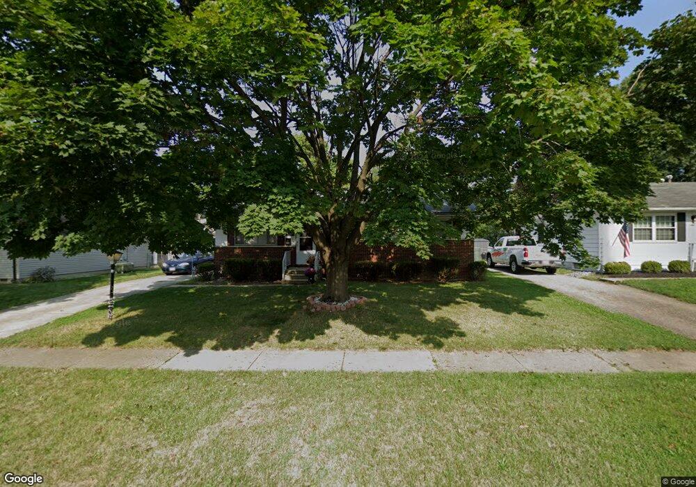
6367 Ambleside Dr Columbus, OH 43229
Devonshire NeighborhoodEstimated Value: $194,000 - $273,000
3
Beds
2
Baths
1,160
Sq Ft
$208/Sq Ft
Est. Value
About This Home
This home is located at 6367 Ambleside Dr, Columbus, OH 43229 and is currently estimated at $240,710, approximately $207 per square foot. 6367 Ambleside Dr is a home located in Franklin County with nearby schools including Devonshire Alternative Elementary School, Woodward Park Middle School, and Beechcroft High School.
Ownership History
Date
Name
Owned For
Owner Type
Purchase Details
Closed on
Jun 30, 2010
Sold by
Stone Lucille R
Bought by
Dunn James W
Current Estimated Value
Home Financials for this Owner
Home Financials are based on the most recent Mortgage that was taken out on this home.
Original Mortgage
$55,360
Outstanding Balance
$36,304
Interest Rate
4.77%
Mortgage Type
New Conventional
Estimated Equity
$204,406
Purchase Details
Closed on
Jan 3, 1968
Bought by
Stone Dana T
Create a Home Valuation Report for This Property
The Home Valuation Report is an in-depth analysis detailing your home's value as well as a comparison with similar homes in the area
Home Values in the Area
Average Home Value in this Area
Purchase History
| Date | Buyer | Sale Price | Title Company |
|---|---|---|---|
| Dunn James W | $69,300 | Attorney | |
| Stone Dana T | -- | -- |
Source: Public Records
Mortgage History
| Date | Status | Borrower | Loan Amount |
|---|---|---|---|
| Open | Dunn James W | $55,360 |
Source: Public Records
Tax History
| Year | Tax Paid | Tax Assessment Tax Assessment Total Assessment is a certain percentage of the fair market value that is determined by local assessors to be the total taxable value of land and additions on the property. | Land | Improvement |
|---|---|---|---|---|
| 2025 | $3,192 | $69,650 | $17,500 | $52,150 |
| 2024 | $3,192 | $69,650 | $17,500 | $52,150 |
| 2023 | $3,152 | $69,650 | $17,500 | $52,150 |
| 2022 | $2,309 | $43,440 | $12,600 | $30,840 |
| 2021 | $2,313 | $43,440 | $12,600 | $30,840 |
| 2020 | $2,316 | $43,440 | $12,600 | $30,840 |
| 2019 | $2,153 | $34,620 | $10,080 | $24,540 |
| 2018 | $2,086 | $34,620 | $10,080 | $24,540 |
| 2017 | $2,152 | $34,620 | $10,080 | $24,540 |
| 2016 | $2,272 | $32,700 | $7,670 | $25,030 |
| 2015 | $2,023 | $32,700 | $7,670 | $25,030 |
| 2014 | $2,028 | $32,700 | $7,670 | $25,030 |
| 2013 | $1,110 | $36,295 | $8,505 | $27,790 |
Source: Public Records
Map
Nearby Homes
- 1288 Oakfield Dr N
- 6336 Archmere Square E
- 6162 Oakfield Dr E
- 6189 Northgap Dr
- 6211 Parkdale Dr
- 6233 Karl Rd
- 6137 Ambleside Dr
- 1421 Bosworth Place
- 6416 Faircrest Rd
- 1322 Bolenhill Ct
- 5990 Ambleside Dr
- 6035 Karl Rd
- 6050 Karl Rd
- 1390 E Dublin Granville Rd
- 6166 Harrington Ct
- 1635 Tendril Ct
- 6148 Sharon Woods Blvd
- 5844 Thada Ln Unit 5844
- 1852 Balsamridge Rd
- 6425 Deer Ridge Ln
- 6375 Ambleside Dr
- 1284 Kildale Square S
- 1272 Kildale Square S
- 6381 Ambleside Dr
- 1279 Kildale Ct
- 1266 Kildale Square S
- 6389 Ambleside Dr
- 1275 Kildale Square S
- 6360 Ambleside Dr
- 1281 Kildale Ct
- 1271 Kildale Ct
- 1258 Kildale Square S
- 6397 Ambleside Dr
- 1269 Kildale Square S
- 6343 Ambleside Dr
- 1267 Kildale Ct
- 1255 Kildale Square S
- 1282 Kildale Ct
- 1250 Kildale Square S
- 1259 Kildale Ct
Your Personal Tour Guide
Ask me questions while you tour the home.