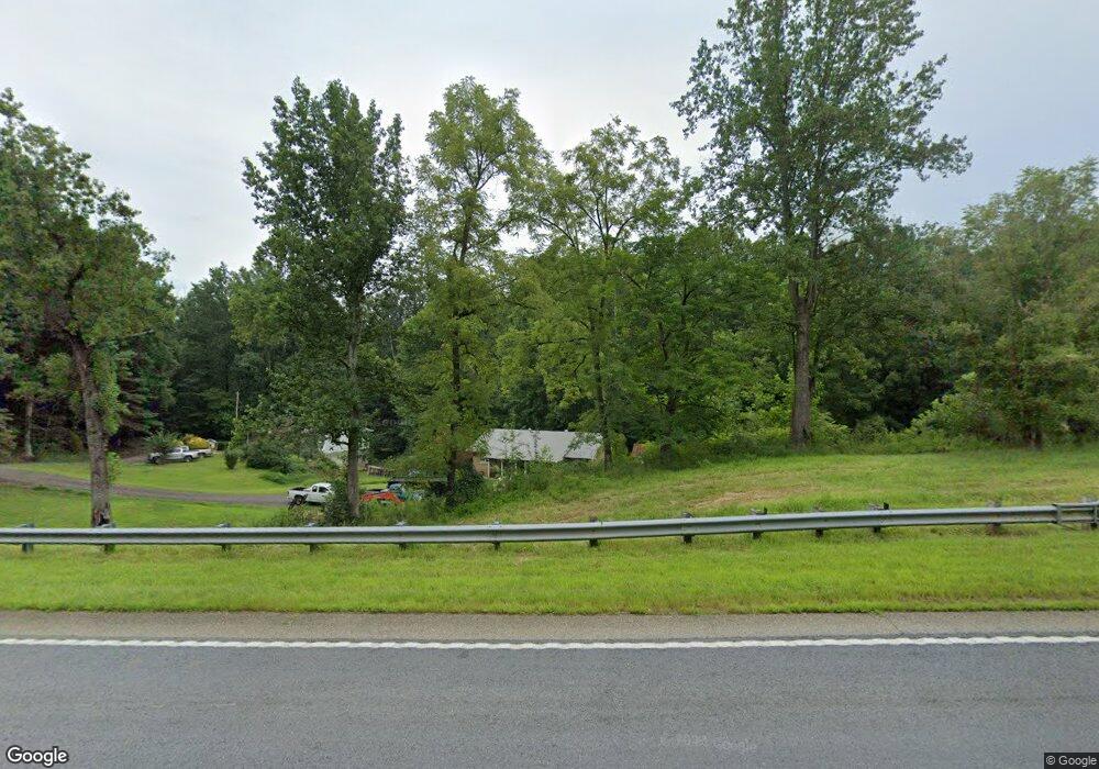
6368 Highway 53 W Jasper, GA 30143
Estimated Value: $232,276 - $333,000
--
Bed
2
Baths
1,232
Sq Ft
$243/Sq Ft
Est. Value
About This Home
This home is located at 6368 Highway 53 W, Jasper, GA 30143 and is currently estimated at $299,819, approximately $243 per square foot. 6368 Highway 53 W is a home located in Pickens County with nearby schools including Hill City Elementary School, Pickens County Middle School, and Pickens County High School.
Ownership History
Date
Name
Owned For
Owner Type
Purchase Details
Closed on
Jul 19, 2024
Sold by
Mullins Darlene
Bought by
Mullins Darlene and Mullins Rachael
Current Estimated Value
Home Financials for this Owner
Home Financials are based on the most recent Mortgage that was taken out on this home.
Original Mortgage
$147,600
Outstanding Balance
$146,003
Interest Rate
7.5%
Mortgage Type
New Conventional
Estimated Equity
$153,816
Purchase Details
Closed on
May 10, 2010
Sold by
Mullins Darlene
Bought by
Mullins Darlene
Create a Home Valuation Report for This Property
The Home Valuation Report is an in-depth analysis detailing your home's value as well as a comparison with similar homes in the area
Home Values in the Area
Average Home Value in this Area
Purchase History
| Date | Buyer | Sale Price | Title Company |
|---|---|---|---|
| Mullins Darlene | -- | -- | |
| Mullins Darlene | -- | -- |
Source: Public Records
Mortgage History
| Date | Status | Borrower | Loan Amount |
|---|---|---|---|
| Open | Mullins Darlene | $147,600 |
Source: Public Records
Tax History Compared to Growth
Tax History
| Year | Tax Paid | Tax Assessment Tax Assessment Total Assessment is a certain percentage of the fair market value that is determined by local assessors to be the total taxable value of land and additions on the property. | Land | Improvement |
|---|---|---|---|---|
| 2024 | $1,346 | $68,018 | $17,709 | $50,309 |
| 2023 | $1,383 | $68,018 | $17,709 | $50,309 |
| 2022 | $617 | $30,354 | $8,236 | $22,118 |
| 2021 | $661 | $30,354 | $8,236 | $22,118 |
| 2020 | $681 | $30,354 | $8,236 | $22,118 |
| 2019 | $697 | $30,354 | $8,236 | $22,118 |
| 2018 | $703 | $30,354 | $8,236 | $22,118 |
| 2017 | $715 | $30,354 | $8,236 | $22,118 |
| 2016 | $719 | $30,038 | $7,920 | $22,118 |
| 2015 | $702 | $30,038 | $7,920 | $22,118 |
| 2014 | $703 | $30,038 | $7,920 | $22,118 |
| 2013 | -- | $30,038 | $7,920 | $22,118 |
Source: Public Records
Map
Nearby Homes
- 6472 Highway 53
- 6512 Highway 53
- 755 Harris Rd
- 140 Jerusalem Church Rd
- 110 Jerusalem Farms Dr
- 502 Tatum Rd
- 247 Tatum Rd
- 1045 Pleasant Hill Rd
- 828 Rocky Ridge Rd
- 19 Thomason Farm Dr
- 0 Hill City Rd Unit 10547283
- 0 Hill City Rd Unit 7600458
- 88 Woody Way
- 312 Sterling Rd
- 88 Hill City Trail
- 361 Village Creek Dr
- 54 Oak Creek Ct
- 471 & 475 Sterling Rd
- 0 Antioch Church Rd Unit 10568521
- 0 Antioch Church Rd Unit 7619044
- 6408 Highway 53 W
- 6381 Highway 53 W
- 6303 Highway 53 W
- 6230 Highway 53 W
- 6437 Highway 53 W
- 5500 Highway 53 W
- 6535 Highway 53 W
- 6505 Highway 53 W
- 6169 Highway 53 W
- 35 Mullinax Rd
- 15 Mullinax Rd
- 6103 Highway 53 W
- 8066 Hwy 53 W
- 215 Hirams Mill Rd
- 6027 Highway 53 W
- 294 Hirams Mill Rd W
- 6666 Highway 53 W
- 610 Mullinax Rd
- 5984 Highway 53 W
- 5959 Highway 53 W