Estimated Value: $110,000 - $188,986
3
Beds
2
Baths
1,967
Sq Ft
$73/Sq Ft
Est. Value
About This Home
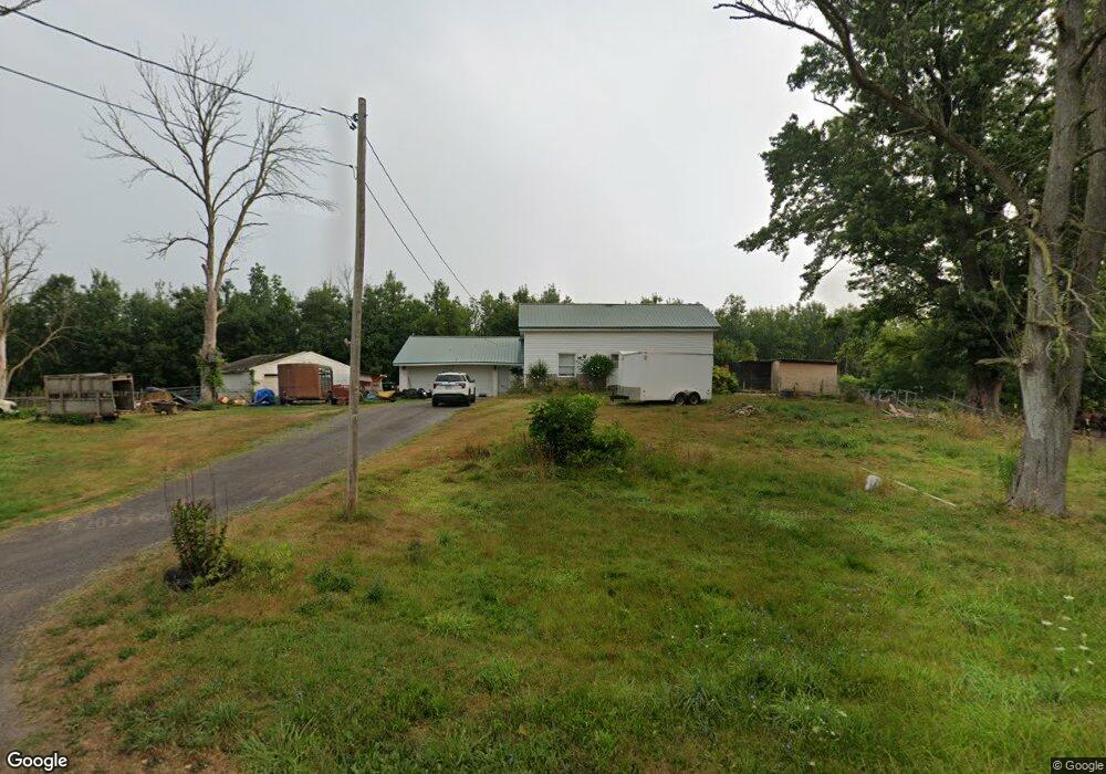
This home is located at 6369 Cole Rd, Byron, NY 14422 and is currently estimated at $143,247, approximately $72 per square foot. 6369 Cole Rd is a home located in Genesee County with nearby schools including Byron-Bergen Elementary School and Byron-Bergen Junior/Senior High School.
Ownership History
Date
Name
Owned For
Owner Type
Purchase Details
Closed on
Dec 12, 2021
Sold by
Platt Terrence L
Bought by
Guzman Edgardo and Guzman Adriana
Current Estimated Value
Home Financials for this Owner
Home Financials are based on the most recent Mortgage that was taken out on this home.
Original Mortgage
$63,250
Outstanding Balance
$54,177
Interest Rate
3.11%
Mortgage Type
New Conventional
Estimated Equity
$89,070
Purchase Details
Closed on
Aug 6, 2004
Sold by
Austin Richard
Bought by
Platt Terrence
Create a Home Valuation Report for This Property
The Home Valuation Report is an in-depth analysis detailing your home's value as well as a comparison with similar homes in the area
Home Values in the Area
Average Home Value in this Area
Purchase History
| Date | Buyer | Sale Price | Title Company |
|---|---|---|---|
| Guzman Edgardo | $57,250 | None Available | |
| Guzman Edgardo | $57,250 | None Available | |
| Platt Terrence | $52,000 | -- | |
| Platt Terrence | $52,000 | -- |
Source: Public Records
Mortgage History
| Date | Status | Borrower | Loan Amount |
|---|---|---|---|
| Open | Guzman Edgardo | $63,250 | |
| Closed | Guzman Edgardo | $63,250 |
Source: Public Records
Tax History Compared to Growth
Tax History
| Year | Tax Paid | Tax Assessment Tax Assessment Total Assessment is a certain percentage of the fair market value that is determined by local assessors to be the total taxable value of land and additions on the property. | Land | Improvement |
|---|---|---|---|---|
| 2024 | $1,194 | $63,000 | $20,100 | $42,900 |
| 2023 | $2,138 | $63,000 | $20,100 | $42,900 |
| 2022 | $2,488 | $63,000 | $20,100 | $42,900 |
| 2021 | $2,833 | $74,500 | $20,100 | $54,400 |
| 2020 | $2,866 | $73,000 | $19,000 | $54,000 |
| 2019 | $2,886 | $72,500 | $19,000 | $53,500 |
| 2018 | $2,886 | $71,000 | $18,000 | $53,000 |
| 2017 | $2,763 | $71,000 | $18,000 | $53,000 |
| 2016 | $2,712 | $71,000 | $17,800 | $53,200 |
| 2015 | -- | $71,000 | $17,800 | $53,200 |
| 2014 | -- | $71,000 | $17,800 | $53,200 |
Source: Public Records
Map
Nearby Homes
- 6461 Swamp Rd
- 6790 Hessenthaler Rd
- 5668 New York 237
- 6063 Transit Rd
- 5775 Holley Byron Rd
- 6854 Clinton Street Rd
- 5255 Holley Byron Rd
- 17155 Ladue Rd
- 7354 Maple Ave
- 5648 Godfreys Pond
- 7978 Sackett Rd
- 7370 S Lake Rd
- 18 Buffalo St
- 16458 Hinds Rd
- 0 S Holley Rd Unit R1596039
- 6936 Britt Rd
- 6332 Oak Orchard Rd
- 35 Hidden Meadows Dr
- 29 Chapel St
- 000 McNamar Rd
- 6320 Cole Rd
- 6302 Cole Rd Unit 159
- 6302 Cole Rd
- 6646 Route 237
- 6654 Route 237
- 6471 Cole Rd
- 6320 Warboys Rd
- 6666 Route 237
- 6328 Warboys Rd
- 6336 Warboys Rd
- 6305 Warboys Rd
- 6558 Route 237
- 6313 Warboys Rd
- 6541 Route 237
- 6331 Warboys Rd
- 6544 Route 237
- 6535 Route 237
- 6591 Batavia Byron Rd
- 6339 Warboys Rd
- 6542 New York 237