6369 Dock 1 Rd Glouster, OH 45732
Estimated Value: $67,415 - $115,000
1
Bed
1
Bath
512
Sq Ft
$184/Sq Ft
Est. Value
About This Home
This home is located at 6369 Dock 1 Rd, Glouster, OH 45732 and is currently estimated at $94,354, approximately $184 per square foot. 6369 Dock 1 Rd is a home located in Morgan County with nearby schools including Morgan High School.
Ownership History
Date
Name
Owned For
Owner Type
Purchase Details
Closed on
Nov 10, 2020
Sold by
Schneider John D and Schneider Beth
Bought by
Schneider John D and Schneider Elizabeth A
Current Estimated Value
Purchase Details
Closed on
Jul 8, 2017
Sold by
Corwin Linda A
Bought by
Young Virginia M
Home Financials for this Owner
Home Financials are based on the most recent Mortgage that was taken out on this home.
Original Mortgage
$35,625
Outstanding Balance
$17,626
Interest Rate
3.94%
Mortgage Type
Commercial
Estimated Equity
$76,728
Purchase Details
Closed on
Jun 27, 2008
Sold by
Corwin Linda A
Bought by
Corwin Linda A
Purchase Details
Closed on
Sep 1, 1985
Create a Home Valuation Report for This Property
The Home Valuation Report is an in-depth analysis detailing your home's value as well as a comparison with similar homes in the area
Purchase History
| Date | Buyer | Sale Price | Title Company |
|---|---|---|---|
| Schneider John D | -- | None Available | |
| Young Virginia M | $37,500 | None Available | |
| Corwin Linda A | -- | -- | |
| -- | $25,000 | -- |
Source: Public Records
Mortgage History
| Date | Status | Borrower | Loan Amount |
|---|---|---|---|
| Open | Young Virginia M | $35,625 |
Source: Public Records
Tax History
| Year | Tax Paid | Tax Assessment Tax Assessment Total Assessment is a certain percentage of the fair market value that is determined by local assessors to be the total taxable value of land and additions on the property. | Land | Improvement |
|---|---|---|---|---|
| 2025 | $428 | $13,550 | $5,020 | $8,530 |
| 2024 | $429 | $13,550 | $5,020 | $8,530 |
| 2023 | $428 | $13,720 | $4,090 | $9,630 |
| 2022 | $428 | $13,720 | $4,090 | $9,630 |
| 2021 | $432 | $13,720 | $4,090 | $9,630 |
| 2019 | $125 | $12,480 | $3,720 | $8,760 |
| 2018 | $120 | $12,480 | $3,720 | $8,760 |
| 2017 | $111 | $10,613 | $2,146 | $8,467 |
| 2016 | $111 | $10,613 | $2,146 | $8,467 |
| 2015 | $111 | $10,613 | $2,146 | $8,467 |
| 2014 | $173 | $10,613 | $2,146 | $8,467 |
| 2013 | $170 | $10,613 | $2,146 | $8,467 |
Source: Public Records
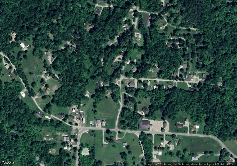
Map
Nearby Homes
- 6344 Dock 1 Rd
- 6325 Dock 1 Rd
- 11295 Davis Rd
- 6385 Dock 1 Rd
- 6385 Dock 1 Rd
- 11290 Davis Rd
- 11275 Davis Rd
- 10430 Dock 1 Rd
- 6400 Dock 1 Rd
- 11260 Davis Rd
- 11365 Mcdaniel Ln
- 6585 S State Route 78
- 6589 S State Route 78
- 11380 Mcdaniel Ln
- 6270 Dock 1 Rd
- 11200 Davis Rd
- 11205 Davis Rd
- 11387 Mcdaniel Ln
- 6603 S State Route 78
- 11210 Davis Rd
Your Personal Tour Guide
Ask me questions while you tour the home.