6369 Riverside Farm Ln Cape Charles, VA 23310
Estimated Value: $395,000 - $833,000
3
Beds
2
Baths
1,858
Sq Ft
$338/Sq Ft
Est. Value
About This Home
This home is located at 6369 Riverside Farm Ln, Cape Charles, VA 23310 and is currently estimated at $628,709, approximately $338 per square foot. 6369 Riverside Farm Ln is a home located in Northampton County with nearby schools including Northampton High School.
Ownership History
Date
Name
Owned For
Owner Type
Purchase Details
Closed on
Oct 13, 2015
Sold by
Collins Thomas G and Lewis Thomas C
Bought by
Flory Paul Holt and Flory Rebecca Jo
Current Estimated Value
Home Financials for this Owner
Home Financials are based on the most recent Mortgage that was taken out on this home.
Original Mortgage
$341,181
Outstanding Balance
$268,438
Interest Rate
3.88%
Mortgage Type
VA
Estimated Equity
$360,271
Purchase Details
Closed on
Sep 21, 2007
Sold by
Collins Thomas G and Lewis Thomas C
Bought by
Mockhorn Bay Landing Property Owners Ass
Create a Home Valuation Report for This Property
The Home Valuation Report is an in-depth analysis detailing your home's value as well as a comparison with similar homes in the area
Home Values in the Area
Average Home Value in this Area
Purchase History
| Date | Buyer | Sale Price | Title Company |
|---|---|---|---|
| Flory Paul Holt | $334,000 | None Available | |
| Mockhorn Bay Landing Property Owners Ass | -- | None Available |
Source: Public Records
Mortgage History
| Date | Status | Borrower | Loan Amount |
|---|---|---|---|
| Open | Flory Paul Holt | $341,181 |
Source: Public Records
Tax History Compared to Growth
Tax History
| Year | Tax Paid | Tax Assessment Tax Assessment Total Assessment is a certain percentage of the fair market value that is determined by local assessors to be the total taxable value of land and additions on the property. | Land | Improvement |
|---|---|---|---|---|
| 2024 | $2,957 | $431,700 | $117,600 | $314,100 |
| 2023 | $2,582 | $339,800 | $99,100 | $240,700 |
| 2022 | $2,582 | $339,800 | $99,100 | $240,700 |
| 2021 | $2,712 | $324,800 | $85,600 | $239,200 |
| 2020 | $2,712 | $324,800 | $85,600 | $239,200 |
| 2019 | $2,712 | $326,800 | $85,600 | $241,200 |
| 2018 | $2,712 | $326,800 | $85,600 | $241,200 |
| 2017 | $2,610 | $326,800 | $85,600 | $241,200 |
| 2016 | $2,610 | $314,400 | $86,600 | $227,800 |
| 2015 | -- | $314,400 | $86,600 | $227,800 |
| 2011 | -- | $330,900 | $118,700 | $212,200 |
Source: Public Records
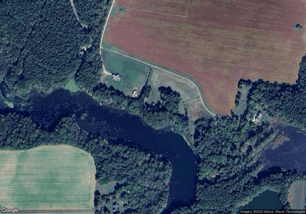
Map
Nearby Homes
- 411 Capt Orris Browne
- 0 Briar Ct
- 22485 Briar Ct
- 25487 Lankford Hwy
- 22239 Seaside Rd
- 4 N Plantation Ln Unit 3,4,5
- 3323 Tower Hill Cir
- 22336 Woodcock Cir
- 22170 Raymond Ln
- 22152 Raymond Ln Unit 132
- 214 Muirfield Dr
- 3351+ Stone Rd Unit P1&P2
- 000 Parsons Cir Unit 59B
- 74 Creekside Ln Unit 51
- 5120 Hortense Ln
- 4564 Capeville Dr
- 118 Creekside Ln
- 110 Creekside Ln Unit 12
- 103 Creekside Ln
- 124 Creekside Ln
- 24253 Mockhorn Island Ln
- 6365 Riverside Farm Ln
- 6335 Riverside Farm Ln
- 24459 Seaside Rd
- 2425 Mockhorn Island Ln
- Lot 5 Bay Vistas Way Unit BV5
- Lot 5 Bay Vistas Way
- 1.6ac Hugars Beach (Off) Rd
- 1.6 Acres (Off) Hugars Beach Rd
- 5377 Mockhorn Bay Dr
- 5272 Mockhorn Bay Dr
- 6207 Riverside Farm Ln
- 5419 Milford Rd
- 6209 Riverside Farm Ln
- 6221 Riverside Farm Ln
- 5445 Milford Rd
- 311 Capt Orris Browne
- 301 Capt Orris Browne Unit 110A
- 311 Capt Orris Browne Unit 106
- 302 Capt Orris Browne Unit 98