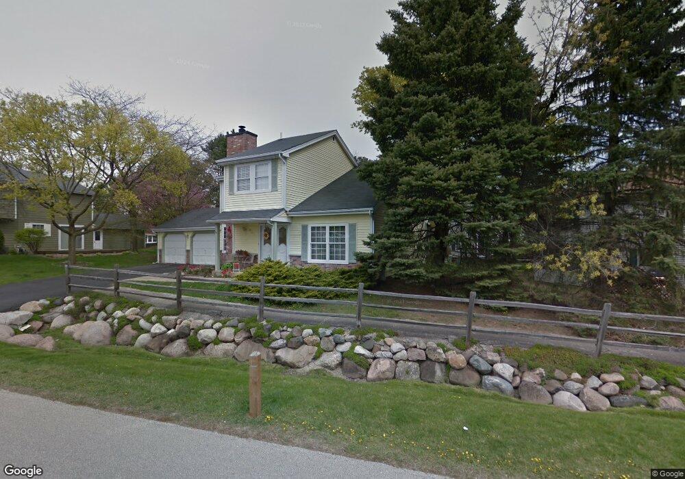
637 Dunham Rd Gurnee, IL 60031
Estimated Value: $335,000 - $354,000
3
Beds
3
Baths
1,785
Sq Ft
$194/Sq Ft
Est. Value
About This Home
This home is located at 637 Dunham Rd, Gurnee, IL 60031 and is currently estimated at $347,032, approximately $194 per square foot. 637 Dunham Rd is a home located in Lake County with nearby schools including Woodland Primary School, Woodland Elementary School, and Woodland Intermediate School.
Ownership History
Date
Name
Owned For
Owner Type
Purchase Details
Closed on
Apr 13, 2007
Sold by
Anderson Patricia A
Bought by
Ocampo Sandra
Current Estimated Value
Home Financials for this Owner
Home Financials are based on the most recent Mortgage that was taken out on this home.
Original Mortgage
$242,000
Outstanding Balance
$178,245
Interest Rate
10.6%
Mortgage Type
Balloon
Estimated Equity
$168,787
Purchase Details
Closed on
May 20, 1994
Sold by
Vance William F and Vance Gail C
Bought by
Anderson Patricia A
Home Financials for this Owner
Home Financials are based on the most recent Mortgage that was taken out on this home.
Original Mortgage
$126,800
Interest Rate
8.34%
Create a Home Valuation Report for This Property
The Home Valuation Report is an in-depth analysis detailing your home's value as well as a comparison with similar homes in the area
Home Values in the Area
Average Home Value in this Area
Purchase History
| Date | Buyer | Sale Price | Title Company |
|---|---|---|---|
| Ocampo Sandra | $242,000 | Attorneys Title Guaranty Fun | |
| Anderson Patricia A | $133,500 | Land Title Group Inc |
Source: Public Records
Mortgage History
| Date | Status | Borrower | Loan Amount |
|---|---|---|---|
| Open | Ocampo Sandra | $242,000 | |
| Previous Owner | Anderson Patricia A | $126,800 |
Source: Public Records
Tax History
| Year | Tax Paid | Tax Assessment Tax Assessment Total Assessment is a certain percentage of the fair market value that is determined by local assessors to be the total taxable value of land and additions on the property. | Land | Improvement |
|---|---|---|---|---|
| 2024 | $8,122 | $97,638 | $10,039 | $87,599 |
| 2023 | $6,809 | $90,649 | $9,320 | $81,329 |
| 2022 | $6,809 | $75,859 | $9,532 | $66,327 |
| 2021 | $5,889 | $70,015 | $8,798 | $61,217 |
| 2020 | $5,694 | $68,294 | $8,582 | $59,712 |
| 2019 | $5,528 | $66,311 | $8,333 | $57,978 |
| 2018 | $5,070 | $62,083 | $3,652 | $58,431 |
| 2017 | $5,013 | $60,304 | $3,547 | $56,757 |
| 2016 | $4,962 | $57,619 | $3,389 | $54,230 |
| 2015 | $4,819 | $54,646 | $3,214 | $51,432 |
| 2014 | $5,652 | $52,714 | $3,171 | $49,543 |
| 2012 | $5,362 | $63,929 | $3,195 | $60,734 |
Source: Public Records
Map
Nearby Homes
- 651 White Ct
- 642 Williams Ct
- 598 Dunham Rd Unit U297
- 650 Whitney Ct Unit 211
- 705 Colby Ct Unit U78
- 690 Chandler Rd Unit 211
- 690 Chandler Rd Unit 302
- 727 Colby Ct Unit U57
- 649 Wilbur Ct
- 749 Shepard Ct Unit U19
- 748 Chandler Rd
- 6167 Golfview Dr
- 920 Vose Dr Unit 304
- 920 Vose Dr Unit 106
- 801 Dunhill Ct
- 6296 Doral Dr
- 6091 Washington St
- 256 Hill n Dale Ct
- 6349 Braxton Ct
- 6230 Old Farm Ln
Your Personal Tour Guide
Ask me questions while you tour the home.