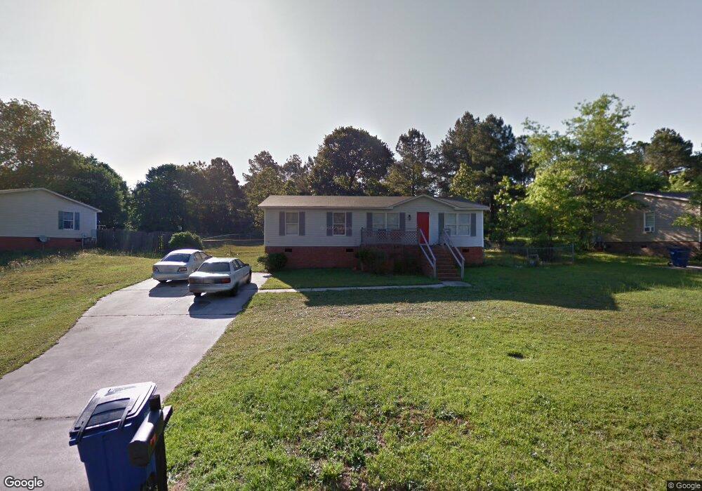
637 Dunrobin Dr Raeford, NC 28376
Estimated Value: $136,700 - $155,000
3
Beds
2
Baths
1,232
Sq Ft
$115/Sq Ft
Est. Value
About This Home
This home is located at 637 Dunrobin Dr, Raeford, NC 28376 and is currently estimated at $141,425, approximately $114 per square foot. 637 Dunrobin Dr is a home located in Hoke County with nearby schools including Upchurch Elementary School, East Hoke Middle, and Hoke County High.
Ownership History
Date
Name
Owned For
Owner Type
Purchase Details
Closed on
Oct 6, 2009
Sold by
Four Oaks Bank & Trsut
Bought by
Miller Pompilica E
Current Estimated Value
Purchase Details
Closed on
Apr 14, 2005
Sold by
Booth Davis Llc
Bought by
Hadley Scott
Home Financials for this Owner
Home Financials are based on the most recent Mortgage that was taken out on this home.
Original Mortgage
$48,776
Interest Rate
5.74%
Mortgage Type
New Conventional
Create a Home Valuation Report for This Property
The Home Valuation Report is an in-depth analysis detailing your home's value as well as a comparison with similar homes in the area
Home Values in the Area
Average Home Value in this Area
Purchase History
| Date | Buyer | Sale Price | Title Company |
|---|---|---|---|
| Miller Pompilica E | $22,000 | -- | |
| Hadley Scott | $61,000 | None Available |
Source: Public Records
Mortgage History
| Date | Status | Borrower | Loan Amount |
|---|---|---|---|
| Previous Owner | Hadley Scott | $48,776 |
Source: Public Records
Tax History
| Year | Tax Paid | Tax Assessment Tax Assessment Total Assessment is a certain percentage of the fair market value that is determined by local assessors to be the total taxable value of land and additions on the property. | Land | Improvement |
|---|---|---|---|---|
| 2025 | $521 | $48,220 | $20,000 | $28,220 |
| 2024 | $521 | $48,220 | $20,000 | $28,220 |
| 2023 | $521 | $48,220 | $20,000 | $28,220 |
| 2022 | $513 | $48,220 | $20,000 | $28,220 |
| 2021 | $471 | $41,940 | $10,000 | $31,940 |
| 2020 | $476 | $41,940 | $10,000 | $31,940 |
| 2019 | $476 | $41,940 | $10,000 | $31,940 |
| 2018 | $476 | $41,940 | $10,000 | $31,940 |
| 2017 | $476 | $41,940 | $10,000 | $31,940 |
| 2016 | $469 | $41,940 | $10,000 | $31,940 |
| 2015 | $469 | $41,940 | $10,000 | $31,940 |
| 2014 | $450 | $41,940 | $10,000 | $31,940 |
| 2013 | -- | $60,610 | $19,000 | $41,610 |
Source: Public Records
Map
Nearby Homes
- 2410 Ohara Dr
- 520 Inverary Dr
- 340 Marlborough (Lot 434) St
- 784 Union (Lot 359) St
- 775 Union St (Lot 425) St
- 172 London Dr
- 765 Union St (Lot 424) St
- 105 McDougald Dr
- 270 Marlborough (Lot 440) St
- 685 Union St
- 835 Union (Lot 430) St
- 818 Union (Lot 362) St
- 1410 Darby Dr
- 1570 Clan Campbell Dr
- 204 Independence Dr
- 175 Marlborough Homesite 404
- 157 Marlborough Homesite 406
- 196 Independence Dr
- 247 Cloverwood Ln
- 639 Union Homesite 413
- 635 Dunrobin Dr
- 639 Dunrobin Dr
- 1015 Dunvegan Dr
- 641 Dunrobin Dr
- 633 Dunrobin Dr
- 1201 Mcbain Ct
- 1017 Dunvegan Dr
- 643 Dunrobin Dr
- 1011 Dunvegan Dr
- 631 Dunrobin Dr
- 1200 Mcbain Ct
- 1203 Mcbain Ct
- 645 Dunrobin Dr
- 636 Dunrobin Dr
- 1006 Dunvegan Dr
- 644 Dunrobin Dr
- 1009 Dunvegan Dr
- 1202 Mcbain Ct
- 1008 Dunvegan Dr
- 634 Dunrobin Dr
Your Personal Tour Guide
Ask me questions while you tour the home.