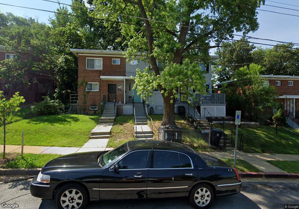
637 Hampton Dr Oxon Hill, MD 20745
Estimated Value: $267,000 - $298,000
--
Bed
2
Baths
896
Sq Ft
$319/Sq Ft
Est. Value
About This Home
This home is located at 637 Hampton Dr, Oxon Hill, MD 20745 and is currently estimated at $285,797, approximately $318 per square foot. 637 Hampton Dr is a home located in Prince George's County with nearby schools including Forest Heights Elementary School, Oxon Hill Middle School, and Potomac High School.
Ownership History
Date
Name
Owned For
Owner Type
Purchase Details
Closed on
Sep 25, 2001
Sold by
Bannister Jack G and Lesniews John L
Bought by
Kemp Kimberly E
Current Estimated Value
Purchase Details
Closed on
Apr 18, 2001
Sold by
Maryland Hsg Fd Dept Hsg & Com D
Bought by
Bannister Jack G and Lesniews John L
Purchase Details
Closed on
Jun 16, 1999
Sold by
White Christopher J
Bought by
Maryland Hsg Fd Dept Hsg & Com D
Purchase Details
Closed on
Oct 14, 1993
Sold by
Jackson C Y
Bought by
White C J
Home Financials for this Owner
Home Financials are based on the most recent Mortgage that was taken out on this home.
Original Mortgage
$69,400
Interest Rate
6.87%
Create a Home Valuation Report for This Property
The Home Valuation Report is an in-depth analysis detailing your home's value as well as a comparison with similar homes in the area
Home Values in the Area
Average Home Value in this Area
Purchase History
| Date | Buyer | Sale Price | Title Company |
|---|---|---|---|
| Kemp Kimberly E | $89,950 | -- | |
| Bannister Jack G | $37,000 | -- | |
| Maryland Hsg Fd Dept Hsg & Com D | $57,000 | -- | |
| White C J | $69,443 | -- |
Source: Public Records
Mortgage History
| Date | Status | Borrower | Loan Amount |
|---|---|---|---|
| Previous Owner | White C J | $69,400 |
Source: Public Records
Tax History Compared to Growth
Tax History
| Year | Tax Paid | Tax Assessment Tax Assessment Total Assessment is a certain percentage of the fair market value that is determined by local assessors to be the total taxable value of land and additions on the property. | Land | Improvement |
|---|---|---|---|---|
| 2025 | $3,762 | $236,833 | -- | -- |
| 2024 | $3,762 | $226,900 | $75,000 | $151,900 |
| 2023 | $3,518 | $210,533 | $0 | $0 |
| 2022 | $3,275 | $194,167 | $0 | $0 |
| 2021 | $3,032 | $177,800 | $75,000 | $102,800 |
| 2020 | $2,858 | $166,133 | $0 | $0 |
| 2019 | $2,685 | $154,467 | $0 | $0 |
| 2018 | $2,511 | $142,800 | $75,000 | $67,800 |
| 2017 | $2,455 | $139,000 | $0 | $0 |
| 2016 | -- | $135,200 | $0 | $0 |
| 2015 | $2,121 | $131,400 | $0 | $0 |
| 2014 | $2,121 | $131,400 | $0 | $0 |
Source: Public Records
Map
Nearby Homes
- 5303 Kenmont Rd
- 5310 Leverett St
- 819 Maury Ave
- 4616 6th St SE
- 4613 6th St SE
- 618 Galveston St SE
- 713 Marcy Ave
- 908 E Meadows Ct
- 627 Forrester St SE
- 610 Galveston Place SE
- 604 Galveston Place SE
- 710 Bonini Rd SE
- 1030 Owens Rd
- 627 Darrington St SE
- 4703 Snowflower Blvd
- 0 6th St SE
- 121 N Huron Dr
- 4733 1st St SW Unit 102
- 4236 6th St SE
- 1409 Estelle Dr