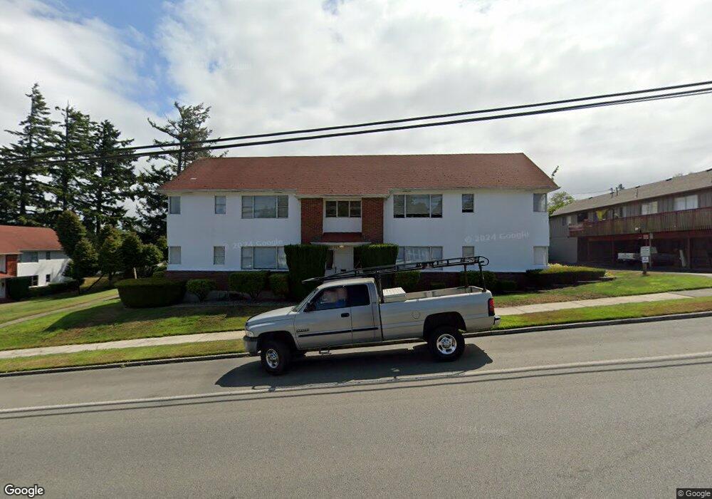
637 Lockhart St North Bend, OR 97459
Estimated Value: $295,361 - $334,000
2
Beds
2
Baths
1,782
Sq Ft
$177/Sq Ft
Est. Value
About This Home
This home is located at 637 Lockhart St, North Bend, OR 97459 and is currently estimated at $314,681, approximately $176 per square foot. 637 Lockhart St is a home located in Coos County with nearby schools including Hillcrest Elementary School, North Bend Middle School, and North Bend Senior High School.
Ownership History
Date
Name
Owned For
Owner Type
Purchase Details
Closed on
Jun 19, 2009
Sold by
Garcia Elsa and Palomera Elsa
Bought by
Palomera Francisco
Current Estimated Value
Home Financials for this Owner
Home Financials are based on the most recent Mortgage that was taken out on this home.
Original Mortgage
$113,000
Interest Rate
4.87%
Mortgage Type
New Conventional
Create a Home Valuation Report for This Property
The Home Valuation Report is an in-depth analysis detailing your home's value as well as a comparison with similar homes in the area
Home Values in the Area
Average Home Value in this Area
Purchase History
| Date | Buyer | Sale Price | Title Company |
|---|---|---|---|
| Palomera Francisco | -- | Ticor Title Insurance |
Source: Public Records
Mortgage History
| Date | Status | Borrower | Loan Amount |
|---|---|---|---|
| Closed | Palomera Francisco | $113,000 |
Source: Public Records
Tax History Compared to Growth
Tax History
| Year | Tax Paid | Tax Assessment Tax Assessment Total Assessment is a certain percentage of the fair market value that is determined by local assessors to be the total taxable value of land and additions on the property. | Land | Improvement |
|---|---|---|---|---|
| 2025 | $1,984 | $134,080 | -- | -- |
| 2024 | $2,003 | $130,180 | -- | -- |
| 2023 | $1,944 | $126,390 | $0 | $0 |
| 2022 | $1,923 | $122,710 | $0 | $0 |
| 2021 | $1,970 | $119,140 | $0 | $0 |
| 2020 | $1,846 | $119,140 | $0 | $0 |
| 2019 | $1,765 | $112,310 | $0 | $0 |
| 2018 | $1,716 | $109,040 | $0 | $0 |
| 2017 | $1,668 | $105,870 | $0 | $0 |
| 2016 | $1,617 | $102,790 | $0 | $0 |
| 2015 | $1,506 | $99,800 | $0 | $0 |
| 2014 | $1,506 | $96,900 | $0 | $0 |
Source: Public Records
Map
Nearby Homes
- 0 Exchange St
- 00 Exchange St
- 584 Exchange St
- 0 Oconnell Unit 8600 754204062
- 0 Newmark St Unit 23622120
- 3236 Sheridan Ave
- 765 State St
- 1440 Yew Ave
- 3700 Vista Dr
- 2520 Koos Bay Blvd
- 3511 Scott Ct
- 1270 Ford Ln
- 1358 Scott Ln
- 2375 N 14th St
- 3851 Edgewood Dr
- 895 Ohio Ave
- 1865 Thompson Rd
- 2579 Pony Creek Rd
- 2517 Liberty St
- 0 Highway 101
- 3610 Sheridan Ave
- 3570 Sheridan Ave
- 640 Tower St
- 660 Tower St
- 610 Tower St
- 3629 Sheridan Ave
- 594 Tower St
- 3575 Sheridan Ave
- 3614 Sherman Ave
- 3545 Sheridan Ave
- 3711 Sherman Ave
- 509 Lockhart St
- 3660 Sherman Ave
- 621 Tower St
- 639 Tower St
- 3590 Sherman Ave
- 540 Lockhart St
- 3680 Sherman Ave
- 587 Exchange St
- 3737 Sherman Ave