637 Mallard Ln Point Roberts, WA 98281
Estimated Value: $248,425 - $307,000
2
Beds
1
Bath
624
Sq Ft
$448/Sq Ft
Est. Value
About This Home
This home is located at 637 Mallard Ln, Point Roberts, WA 98281 and is currently estimated at $279,356, approximately $447 per square foot. 637 Mallard Ln is a home located in Whatcom County with nearby schools including Point Roberts Primary School, Blaine Middle School, and Blaine High School.
Ownership History
Date
Name
Owned For
Owner Type
Purchase Details
Closed on
Aug 17, 2022
Sold by
Wituschek Edmund P and Wituschek Margaret Mary
Bought by
Hwang Jung Ryun and Doherty-Hwang Kimberley Colleen
Current Estimated Value
Purchase Details
Closed on
Jul 27, 2000
Sold by
Wituschek Edmund P and Wituschek Mary Margaret
Bought by
Wituschek Edmund P and Wituschek Mary Margaret
Create a Home Valuation Report for This Property
The Home Valuation Report is an in-depth analysis detailing your home's value as well as a comparison with similar homes in the area
Home Values in the Area
Average Home Value in this Area
Purchase History
| Date | Buyer | Sale Price | Title Company |
|---|---|---|---|
| Hwang Jung Ryun | -- | Whatcom Land Title | |
| Wituschek Edmund P | -- | Whatcom Land Title Company |
Source: Public Records
Tax History Compared to Growth
Tax History
| Year | Tax Paid | Tax Assessment Tax Assessment Total Assessment is a certain percentage of the fair market value that is determined by local assessors to be the total taxable value of land and additions on the property. | Land | Improvement |
|---|---|---|---|---|
| 2024 | $2,063 | $252,927 | $132,495 | $120,432 |
| 2023 | $2,063 | $240,882 | $120,450 | $120,432 |
| 2022 | $1,862 | $219,984 | $110,000 | $109,984 |
| 2021 | $1,855 | $178,834 | $100,320 | $78,514 |
| 2020 | $1,850 | $165,585 | $92,888 | $72,697 |
| 2019 | $1,721 | $158,833 | $89,100 | $69,733 |
| 2018 | $1,577 | $142,789 | $80,100 | $62,689 |
| 2017 | $1,368 | $136,372 | $76,500 | $59,872 |
| 2016 | $1,438 | $133,698 | $75,000 | $58,698 |
| 2015 | $1,528 | $136,636 | $77,288 | $59,348 |
| 2014 | -- | $142,843 | $80,800 | $62,043 |
| 2013 | -- | $136,806 | $77,600 | $59,206 |
Source: Public Records
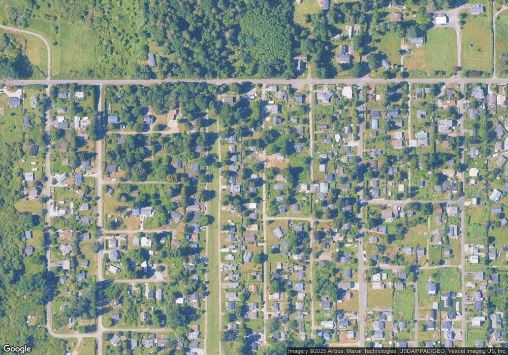
Map
Nearby Homes
- 1927 Orcas View Way
- 634 S Beach Rd
- 1911 Apa Rd
- 661 Driftwood Ln
- 1920 Patos Way
- 1934 Waters Rd
- 1940 Apa Rd
- 698 Kendor Dr
- 1881 Edwards Dr
- 675 Sylvia Dr
- 1976 Cedar Park Dr
- 0 6 39 Acres South Beach Rd
- lot 14 Cedar Park Dr Unit 14
- 2045 Apa Rd
- Lot 2 Greenwood Dr
- 2 Benson Rd
- Lot 3 Edwards Dr
- 8 Heather Way
- 19 Harbor Seal Dr
- 1587 Harbor Seal Dr
- 0 Lot 24 Mallard Ln
- 641 Mallard Ln
- 640 Bells Grove
- 644 Bells Grove
- 651 Mallard Ln
- 632 Bells Grove
- 650 Bells Grove
- 636 Mallard Ln
- 640 Mallard Ln
- 625 Mallard Ln
- 628 Bells Grove
- 645 Mallard Ln
- 652 Mallard Ln
- 648 Mallard Ln
- 624 Mallard Dr
- 616 Mallard Dr
- 618 Mallard Dr
- 624 Bells Grove
- 626 Deer Ln
- 639 Bells Grove