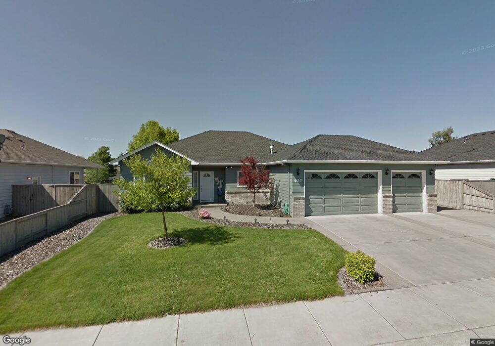
637 Meadowbrook Dr Central Point, OR 97502
Estimated Value: $503,000 - $537,000
4
Beds
2
Baths
2,049
Sq Ft
$253/Sq Ft
Est. Value
About This Home
This home is located at 637 Meadowbrook Dr, Central Point, OR 97502 and is currently estimated at $518,967, approximately $253 per square foot. 637 Meadowbrook Dr is a home located in Jackson County with nearby schools including Jewett Elementary School, Scenic Middle School, and Crater High School.
Ownership History
Date
Name
Owned For
Owner Type
Purchase Details
Closed on
Apr 29, 2002
Sold by
Decarlow Homes Inc
Bought by
Glick Trenton B
Current Estimated Value
Home Financials for this Owner
Home Financials are based on the most recent Mortgage that was taken out on this home.
Original Mortgage
$145,000
Interest Rate
7.08%
Create a Home Valuation Report for This Property
The Home Valuation Report is an in-depth analysis detailing your home's value as well as a comparison with similar homes in the area
Home Values in the Area
Average Home Value in this Area
Purchase History
| Date | Buyer | Sale Price | Title Company |
|---|---|---|---|
| Glick Trenton B | $191,360 | Jackson County Title |
Source: Public Records
Mortgage History
| Date | Status | Borrower | Loan Amount |
|---|---|---|---|
| Closed | Glick Trenton B | $145,000 |
Source: Public Records
Tax History Compared to Growth
Tax History
| Year | Tax Paid | Tax Assessment Tax Assessment Total Assessment is a certain percentage of the fair market value that is determined by local assessors to be the total taxable value of land and additions on the property. | Land | Improvement |
|---|---|---|---|---|
| 2025 | $4,506 | $271,030 | $121,340 | $149,690 |
| 2024 | $4,506 | $263,140 | $117,810 | $145,330 |
| 2023 | $4,361 | $255,480 | $114,380 | $141,100 |
| 2022 | $4,259 | $255,480 | $114,380 | $141,100 |
| 2021 | $4,138 | $248,040 | $111,050 | $136,990 |
| 2020 | $4,017 | $240,820 | $107,820 | $133,000 |
| 2019 | $3,918 | $227,000 | $101,630 | $125,370 |
| 2018 | $3,798 | $220,390 | $98,670 | $121,720 |
| 2017 | $3,703 | $220,390 | $98,670 | $121,720 |
| 2016 | $3,595 | $207,750 | $93,010 | $114,740 |
| 2015 | $3,444 | $207,750 | $93,010 | $114,740 |
| 2014 | $3,357 | $195,830 | $87,670 | $108,160 |
Source: Public Records
Map
Nearby Homes
- 2770 Parkwood Village Ln
- 705 Mountain Ave
- 446 Beebe Rd
- 4595 Table Rock Rd
- 201 Orchardview Cir
- 223 Ridgeway Ave
- 4286 Hamrick Rd
- 4399 Table Rock Rd
- 4404 Biddle Rd
- 4601 Biddle Rd Unit C
- 1840 E Pine St
- 4251 Table Rock Rd
- 1113 Annalise St
- 1121 Annalise St
- 2225 New Haven Dr
- 2248 Evan Way
- 2330 Savannah Dr
- 4730 Gebhard Rd
- 4121 Table Rock Rd
- 2598 St James Way
- 645 Meadowbrook Dr
- 629 Meadowbrook Dr
- 2657 Beebe Rd
- 2651 Beebe Rd
- 653 Meadowbrook Dr
- 638 Meadowbrook Dr
- 655 Mountain Ave
- 646 Meadowbrook Dr
- 630 Meadowbrook Dr
- 523 Meadowbrook Dr
- 2543 Beebe Rd
- 652 Meadowbrook Dr
- 2618 Beebe Rd
- 2628 Beebe Rd
- 661 Mountain Ave
- 528 Meadowbrook Dr
- 760 Meadowbrook Dr
- 509 Meadowbrook Dr
- 2535 Beebe Rd
- 759 Meadowbrook Dr