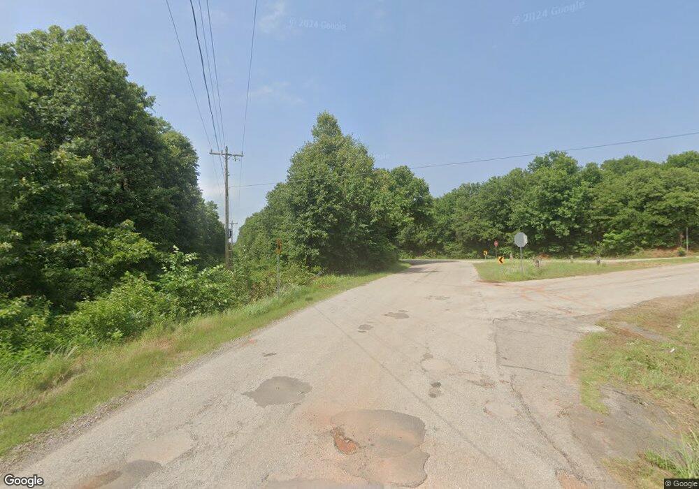
637 N Dobbs Rd Harrah, OK 73045
Estimated Value: $422,000 - $471,000
4
Beds
3
Baths
2,632
Sq Ft
$169/Sq Ft
Est. Value
About This Home
This home is located at 637 N Dobbs Rd, Harrah, OK 73045 and is currently estimated at $444,763, approximately $168 per square foot. 637 N Dobbs Rd is a home located in Oklahoma County with nearby schools including Virginia Smith Elementary School, Clara Reynolds Elementary School, and Russell Babb Elementary School.
Ownership History
Date
Name
Owned For
Owner Type
Purchase Details
Closed on
May 27, 2014
Sold by
Martens Eric L and Martens Michelle D
Bought by
Harp Richard Allen and Harp Tricia Ann
Current Estimated Value
Home Financials for this Owner
Home Financials are based on the most recent Mortgage that was taken out on this home.
Original Mortgage
$190,000
Outstanding Balance
$145,330
Interest Rate
4.35%
Mortgage Type
VA
Estimated Equity
$299,434
Purchase Details
Closed on
Mar 12, 2007
Sold by
Martens Eric L and Martens Michelle D
Bought by
Martens Eric L and Martens Michelle D
Home Financials for this Owner
Home Financials are based on the most recent Mortgage that was taken out on this home.
Original Mortgage
$172,000
Interest Rate
6.26%
Mortgage Type
Purchase Money Mortgage
Create a Home Valuation Report for This Property
The Home Valuation Report is an in-depth analysis detailing your home's value as well as a comparison with similar homes in the area
Home Values in the Area
Average Home Value in this Area
Purchase History
| Date | Buyer | Sale Price | Title Company |
|---|---|---|---|
| Harp Richard Allen | $228,500 | Stewart Abstract & Title Of | |
| Martens Eric L | -- | Capitol Abstract & Title Co |
Source: Public Records
Mortgage History
| Date | Status | Borrower | Loan Amount |
|---|---|---|---|
| Open | Harp Richard Allen | $190,000 | |
| Previous Owner | Martens Eric L | $172,000 |
Source: Public Records
Tax History Compared to Growth
Tax History
| Year | Tax Paid | Tax Assessment Tax Assessment Total Assessment is a certain percentage of the fair market value that is determined by local assessors to be the total taxable value of land and additions on the property. | Land | Improvement |
|---|---|---|---|---|
| 2024 | $2,586 | $27,745 | $2,186 | $25,559 |
| 2023 | $2,586 | $26,424 | $2,285 | $24,139 |
| 2022 | $2,504 | $25,166 | $3,709 | $21,457 |
| 2021 | $2,505 | $25,166 | $3,111 | $22,055 |
| 2020 | $2,572 | $25,166 | $3,111 | $22,055 |
| 2019 | $2,568 | $25,166 | $3,111 | $22,055 |
| 2018 | $2,615 | $25,166 | $0 | $0 |
| 2017 | $2,564 | $25,166 | $3,111 | $22,055 |
| 2016 | $2,610 | $25,166 | $3,111 | $22,055 |
| 2015 | $2,584 | $25,166 | $3,111 | $22,055 |
| 2014 | $2,814 | $28,466 | $3,111 | $25,355 |
Source: Public Records
Map
Nearby Homes
- 20101 Park Ln
- 364 Rock Hollow Rd
- 383 Pleasant View
- 20111 Park Ln
- 319 Rock Hollow Rd
- 20110 Park Ln
- 20080 Woodrock St
- 20061 Woodrock St
- 20160 Park Ln
- London - Canvas Collection Plan at The Woodlands
- Fitzgerald Plan at The Woodlands
- Frederickson Plan at The Woodlands
- Chadwick Plan at The Woodlands
- Holloway Plan at The Woodlands
- Murphy Plan at The Woodlands
- Jordan Plan at The Woodlands
- Kensington Plan at The Woodlands
- 410 Harvest Hills
- 253 Park Ln
- 435 Crooked Oak Dr
- 627 N Dobbs Rd
- 620 N Dobbs Rd
- 697 N Dobbs Rd
- 20001 Timberidge Rd
- 20021 Timberidge Rd
- 20031 Timberidge Rd
- 20000 Timberidge Rd
- 20041 Timberidge Rd
- 20020 Timberidge Rd
- 20051 Timberidge Rd
- 20030 Timberidge Rd
- 20001 Palmer Rd
- 20061 Timberidge Rd
- 20040 Timberidge Rd
- 20021 Palmer Rd
- 20050 Timberidge Rd
- 20031 Palmer Rd
- 20071 Timberidge Rd
- 20041 Palmer Rd
- 20060 Timberidge Rd
