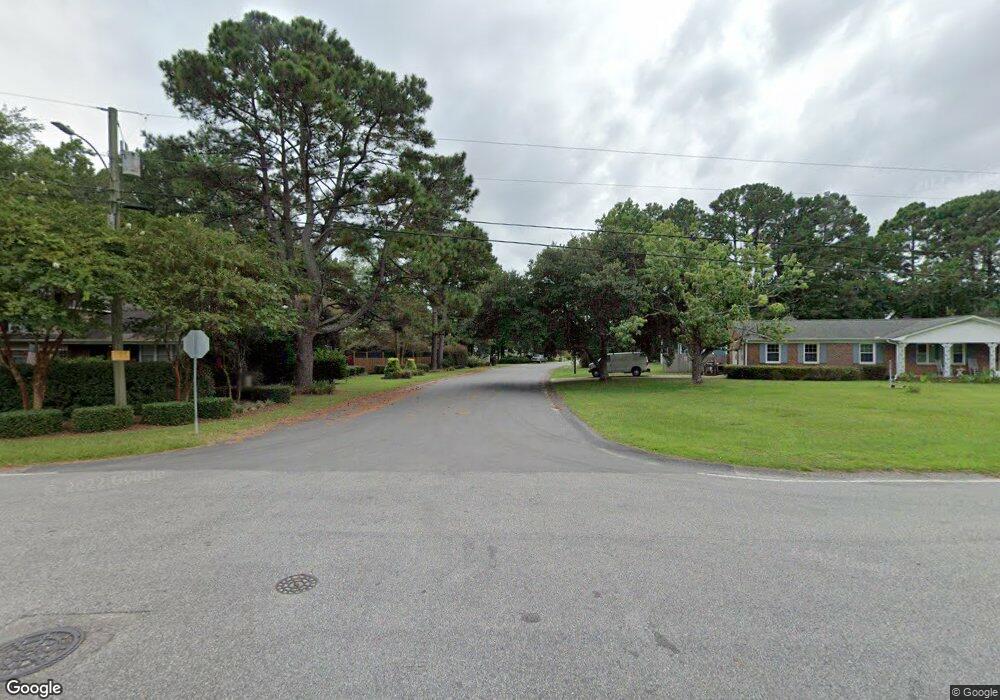
637 N Hampton Rd Wilmington, NC 28409
Lansdowne NeighborhoodEstimated Value: $439,497 - $465,000
3
Beds
2
Baths
1,848
Sq Ft
$242/Sq Ft
Est. Value
About This Home
This home is located at 637 N Hampton Rd, Wilmington, NC 28409 and is currently estimated at $447,874, approximately $242 per square foot. 637 N Hampton Rd is a home located in New Hanover County with nearby schools including Holly Tree Elementary School, Roland-Grise Middle School, and John T. Hoggard High School.
Ownership History
Date
Name
Owned For
Owner Type
Purchase Details
Closed on
Mar 28, 2006
Sold by
Bealer Kenneth H and Bealer Kathleen W
Bought by
Preville Lawrence and Preville Katherine Alice
Current Estimated Value
Purchase Details
Closed on
Aug 13, 1993
Sold by
Azalea Coast Builders Inc
Bought by
Bealer Kenneth H Kathleen W
Purchase Details
Closed on
Dec 22, 1992
Sold by
Azalea Coast Developers Inc
Bought by
Norris Builders Inc
Purchase Details
Closed on
Mar 24, 1992
Sold by
Sanco Of Wilmington Corp
Bought by
Azalea Coast Developers Inc
Create a Home Valuation Report for This Property
The Home Valuation Report is an in-depth analysis detailing your home's value as well as a comparison with similar homes in the area
Home Values in the Area
Average Home Value in this Area
Purchase History
| Date | Buyer | Sale Price | Title Company |
|---|---|---|---|
| Preville Lawrence | $240,000 | None Available | |
| Bealer Kenneth H Kathleen W | $102,500 | -- | |
| Azalea Coast Builders Inc | -- | -- | |
| Norris Builders Inc | $74,000 | -- | |
| Azalea Coast Developers Inc | $382,000 | -- |
Source: Public Records
Tax History Compared to Growth
Tax History
| Year | Tax Paid | Tax Assessment Tax Assessment Total Assessment is a certain percentage of the fair market value that is determined by local assessors to be the total taxable value of land and additions on the property. | Land | Improvement |
|---|---|---|---|---|
| 2023 | $2,301 | $264,500 | $71,800 | $192,700 |
| 2022 | $2,248 | $264,500 | $71,800 | $192,700 |
| 2021 | $2,264 | $264,500 | $71,800 | $192,700 |
| 2020 | $2,188 | $207,700 | $52,000 | $155,700 |
| 2019 | $2,188 | $207,700 | $52,000 | $155,700 |
| 2018 | $2,188 | $207,700 | $52,000 | $155,700 |
| 2017 | $2,188 | $207,700 | $52,000 | $155,700 |
| 2016 | $2,074 | $187,200 | $52,000 | $135,200 |
| 2015 | $1,982 | $187,200 | $52,000 | $135,200 |
| 2014 | $1,898 | $187,200 | $52,000 | $135,200 |
Source: Public Records
Map
Nearby Homes
- 623 Barksdale Rd
- 531 Commons Way
- 101 Doughton Dr
- 736 Kelly Rd
- 652 Chowning Place
- 5029 Monck Ct
- 800 Deer Haven Ct
- 508 Commons Way
- 601 Colony Cir N
- 4016 Freedom Rd
- 5008 Monck Ct
- 716 Benchmark Ct
- 517 Kelly Rd
- 3629 Sutton Dr
- 106 Brookview Rd
- 125 N Hampton Rd
- 3556 Iris St
- 1008 Sabal Ct
- 3863 Daphine Ct
- 1017 Sabal Dr
- 641 N Hampton Rd
- 633 N Hampton Rd
- 616 Culler Ct
- 645 N Hampton Rd
- 614 Culler Ct
- 612 Chowning Place
- 618 Culler Ct
- 634 N Hampton Rd
- 638 N Hampton Rd
- 625 N Hampton Rd
- 630 N Hampton Rd
- 622 Elizabethan Ct
- 630 Hampton Rd
- 610 Chowning Place
- 642 N Hampton Rd
- 620 Culler Ct
- 621 N Hampton Rd
- 620 Elizabethan Ct
- 646 N Hampton Rd
- 608 Chowning Place
