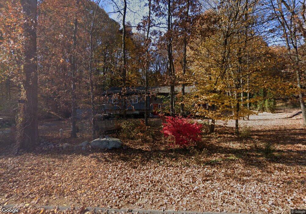
637 Perkins St Bristol, CT 06010
North Bristol NeighborhoodEstimated Value: $428,000 - $459,000
3
Beds
3
Baths
1,728
Sq Ft
$257/Sq Ft
Est. Value
About This Home
This home is located at 637 Perkins St, Bristol, CT 06010 and is currently estimated at $443,439, approximately $256 per square foot. 637 Perkins St is a home located in Hartford County with nearby schools including Edgewood School, Chippens Hill Middle School, and Bristol Central High School.
Ownership History
Date
Name
Owned For
Owner Type
Purchase Details
Closed on
Jun 6, 2006
Sold by
Dougeneck Peter and Dougeneck Carla
Bought by
Deschaines Dale L and Deschaines Alice R
Current Estimated Value
Purchase Details
Closed on
Jul 19, 2001
Sold by
Jay Joseph P and Jay Betty M
Bought by
Dougeneck Peter and Dougeneck Carla
Purchase Details
Closed on
Jan 26, 1990
Sold by
Baney Robert E
Bought by
Jay Betty M
Create a Home Valuation Report for This Property
The Home Valuation Report is an in-depth analysis detailing your home's value as well as a comparison with similar homes in the area
Home Values in the Area
Average Home Value in this Area
Purchase History
| Date | Buyer | Sale Price | Title Company |
|---|---|---|---|
| Deschaines Dale L | $285,000 | -- | |
| Dougeneck Peter | $230,000 | -- | |
| Jay Betty M | $220,000 | -- |
Source: Public Records
Mortgage History
| Date | Status | Borrower | Loan Amount |
|---|---|---|---|
| Closed | Jay Betty M | $40,000 | |
| Open | Jay Betty M | $208,780 |
Source: Public Records
Tax History Compared to Growth
Tax History
| Year | Tax Paid | Tax Assessment Tax Assessment Total Assessment is a certain percentage of the fair market value that is determined by local assessors to be the total taxable value of land and additions on the property. | Land | Improvement |
|---|---|---|---|---|
| 2025 | $8,739 | $258,930 | $60,200 | $198,730 |
| 2024 | $7,647 | $240,100 | $60,200 | $179,900 |
| 2023 | $7,287 | $240,100 | $60,200 | $179,900 |
| 2022 | $6,596 | $171,990 | $47,040 | $124,950 |
| 2021 | $6,596 | $171,990 | $47,040 | $124,950 |
| 2020 | $6,596 | $171,990 | $47,040 | $124,950 |
| 2019 | $6,544 | $171,990 | $47,040 | $124,950 |
| 2018 | $6,343 | $171,990 | $47,040 | $124,950 |
| 2017 | $6,192 | $171,850 | $63,980 | $107,870 |
| 2016 | $6,192 | $171,850 | $63,980 | $107,870 |
| 2015 | $5,948 | $171,850 | $63,980 | $107,870 |
| 2014 | $5,948 | $171,850 | $63,980 | $107,870 |
Source: Public Records
Map
Nearby Homes
- 1970 Perkins St
- 90 Battle St
- 439 James P Casey Rd
- 35 James P Casey Rd
- 62 (Lot 13-1) James P Casey Rd
- 0 Hart St Unit 170255530
- 114 El Toro Dr
- 146 Perkins St
- 6 El Toro Dr
- 6 Ridgecrest Ln
- 276 Hart St
- 48 Boivin St
- 321 Matthews St
- 39 Pine Meadow Dr
- 51 Pine Meadow Dr
- 112 Ambler Rd
- 6 Sand Hill Rd
- 116 Larkspur Ln
- 820 Matthews St Unit 29
- 126 Harvard Place
- 617 Perkins St
- 603 Perkins St
- 15 Tanglewood Rd
- 59 Tanglewood Rd
- 85 Tanglewood Rd
- 8 Tanglewood Rd
- 60 Tanglewood Rd
- 70 Tanglewood Rd
- 40 Battle St
- 571 Perkins St
- 110 Battle St
- 725 Perkins St
- 50 Battle St
- 30 Battle St
- 70 Battle St
- 555 Perkins St
- 16 Battle St
- 130 Battle St
- 400 James P Casey Rd
- 541 Perkins St