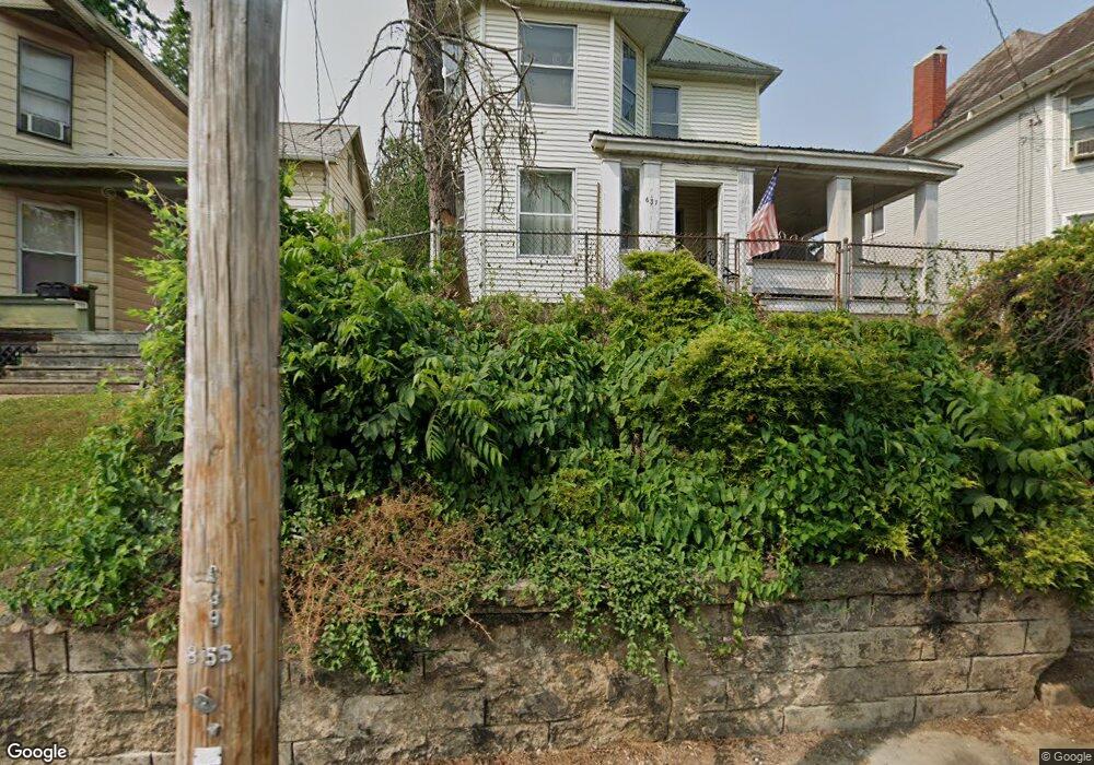
637 Phillips St Marietta, OH 45750
Estimated Value: $150,239 - $176,000
4
Beds
2
Baths
1,767
Sq Ft
$92/Sq Ft
Est. Value
About This Home
This home is located at 637 Phillips St, Marietta, OH 45750 and is currently estimated at $163,310, approximately $92 per square foot. 637 Phillips St is a home located in Washington County with nearby schools including Marietta High School, Wood County Christian School, and Marietta Christian School.
Ownership History
Date
Name
Owned For
Owner Type
Purchase Details
Closed on
Dec 13, 1996
Bought by
Paskawych Mark A and Paskawych Marga
Current Estimated Value
Purchase Details
Closed on
Jun 25, 1996
Bought by
Secretary Of Housing & U
Purchase Details
Closed on
Jul 27, 1989
Purchase Details
Closed on
Apr 19, 1988
Create a Home Valuation Report for This Property
The Home Valuation Report is an in-depth analysis detailing your home's value as well as a comparison with similar homes in the area
Home Values in the Area
Average Home Value in this Area
Purchase History
| Date | Buyer | Sale Price | Title Company |
|---|---|---|---|
| Paskawych Mark A | -- | -- | |
| Secretary Of Housing & U | -- | -- | |
| -- | -- | -- | |
| -- | $40,000 | -- |
Source: Public Records
Tax History Compared to Growth
Tax History
| Year | Tax Paid | Tax Assessment Tax Assessment Total Assessment is a certain percentage of the fair market value that is determined by local assessors to be the total taxable value of land and additions on the property. | Land | Improvement |
|---|---|---|---|---|
| 2024 | $1,234 | $36,370 | $5,190 | $31,180 |
| 2023 | $1,234 | $36,370 | $5,190 | $31,180 |
| 2022 | $1,226 | $36,370 | $5,190 | $31,180 |
| 2021 | $812 | $22,780 | $4,500 | $18,280 |
| 2020 | $816 | $22,780 | $4,500 | $18,280 |
| 2019 | $815 | $22,780 | $4,500 | $18,280 |
| 2018 | $728 | $19,780 | $3,750 | $16,030 |
| 2017 | $727 | $19,780 | $3,750 | $16,030 |
| 2016 | $1,269 | $19,780 | $3,750 | $16,030 |
| 2015 | $749 | $19,490 | $3,880 | $15,610 |
| 2014 | $1,253 | $19,490 | $3,880 | $15,610 |
| 2013 | $372 | $19,490 | $3,880 | $15,610 |
Source: Public Records
Map
Nearby Homes
- 161 Woodland Ave
- 150 Wells Ave
- 0 Greene St
- 1005 Greene St
- 921 Greene St
- 210 Phillips St
- 3740 Ohio 26
- 15999 Ohio 26
- 201 E Spring St
- 779 Buckeye Ave
- 939 Pike St
- 0 Shade St
- 0 Charles St Unit 225028714
- 0 Charles St Unit 5144598
- 0 0 State Route 26 Rear Oh
- 0 Ohio 26 Unit LotWP001 23010810
- 211 Meigs St
- 505 Charles St
- 308 Gross Ave and Clifton St
- 4th and Church St
- 641 Phillips St
- 629 Phillips St
- 645 Phillips St
- 117 Acme St
- 636 Phillips St
- 638 Phillips St
- 634 Phillips St
- 627 Phillips St
- 640 Phillips St
- 105 Acme St
- 632 Phillips St
- 121 Acme St
- 646 Phillips St
- 630 Phillips St
- 619 Phillips St
- 628 Phillips St
- 648 Phillips St
- 626 1/2 Phillips St
- 626 Phillips St
- 617 Phillips St