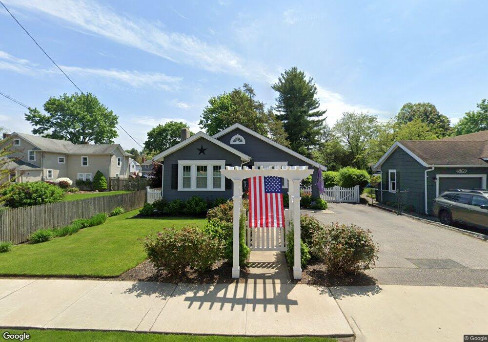
637 Pulaski Rd East Northport, NY 11731
Estimated Value: $531,000 - $702,000
--
Bed
--
Bath
--
Sq Ft
8,712
Sq Ft Lot
About This Home
This home is located at 637 Pulaski Rd, East Northport, NY 11731 and is currently estimated at $598,470. 637 Pulaski Rd is a home located in Suffolk County with nearby schools including Northport Senior High School, The School House, and Trinity Regional School-East Northport Campus.
Ownership History
Date
Name
Owned For
Owner Type
Purchase Details
Closed on
May 16, 2006
Sold by
Paterson Jamie A
Bought by
Buonagurio Michael
Current Estimated Value
Purchase Details
Closed on
Oct 17, 2003
Sold by
Baez Salustiano
Bought by
Paterson Jamie A
Purchase Details
Closed on
Feb 5, 2003
Sold by
Drew Barbara and Drew Bertha
Bought by
Baez Salustiano
Home Financials for this Owner
Home Financials are based on the most recent Mortgage that was taken out on this home.
Original Mortgage
$165,000
Interest Rate
5.62%
Create a Home Valuation Report for This Property
The Home Valuation Report is an in-depth analysis detailing your home's value as well as a comparison with similar homes in the area
Home Values in the Area
Average Home Value in this Area
Purchase History
| Date | Buyer | Sale Price | Title Company |
|---|---|---|---|
| Buonagurio Michael | $422,300 | Leor Gamzo | |
| Paterson Jamie A | $345,000 | First American Title Ins Co | |
| Baez Salustiano | $220,000 | Pyramid Title Agency |
Source: Public Records
Mortgage History
| Date | Status | Borrower | Loan Amount |
|---|---|---|---|
| Previous Owner | Baez Salustiano | $165,000 |
Source: Public Records
Tax History Compared to Growth
Tax History
| Year | Tax Paid | Tax Assessment Tax Assessment Total Assessment is a certain percentage of the fair market value that is determined by local assessors to be the total taxable value of land and additions on the property. | Land | Improvement |
|---|---|---|---|---|
| 2024 | $6,345 | $1,780 | $275 | $1,505 |
| 2023 | $3,173 | $1,780 | $275 | $1,505 |
| 2022 | $6,001 | $1,780 | $275 | $1,505 |
| 2021 | $5,826 | $1,780 | $275 | $1,505 |
| 2020 | $5,736 | $1,780 | $275 | $1,505 |
| 2019 | $5,736 | $0 | $0 | $0 |
| 2018 | $4,633 | $1,780 | $275 | $1,505 |
| 2017 | $4,633 | $1,780 | $275 | $1,505 |
| 2016 | $4,560 | $1,780 | $275 | $1,505 |
| 2015 | -- | $1,780 | $275 | $1,505 |
| 2014 | -- | $1,780 | $275 | $1,505 |
Source: Public Records
Map
Nearby Homes
- 639 Pulaski Rd
- 633 Pulaski Rd
- 641 Pulaski Rd
- 93 Franklin Ave
- 623 Pulaski Rd
- 643 Pulaski Rd
- 91 Franklin Ave
- 95 Franklin Ave
- 629 Pulaski Rd
- 89 Franklin Ave
- 645 Pulaski Rd
- 97 Franklin Ave
- 87A Franklin Ave
- 87 Franklin Ave
- 99 Franklin Ave
- 199 Elwood Rd
- 627 Pulaski Rd
- 627 Pulaski Rd Unit Cott.
- 203 Elwood Rd
- 203 Elwood Rd Unit Upper