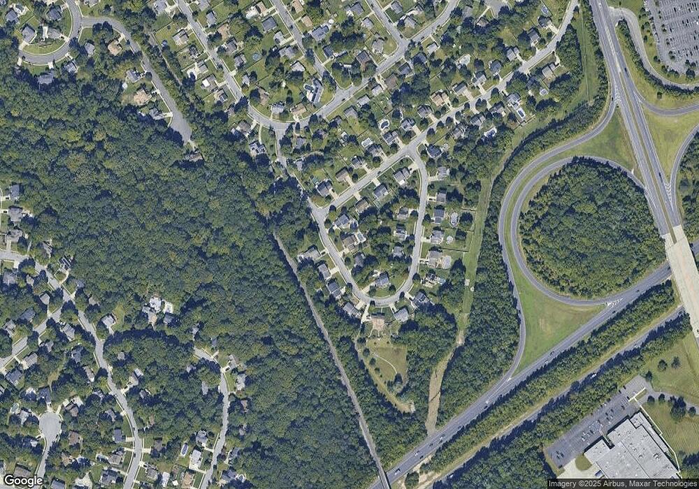
637 Surrey Rd Sewell, NJ 08080
Mantua Township NeighborhoodEstimated Value: $540,000 - $603,470
4
Beds
3
Baths
2,183
Sq Ft
$261/Sq Ft
Est. Value
About This Home
This home is located at 637 Surrey Rd, Sewell, NJ 08080 and is currently estimated at $569,618, approximately $260 per square foot. 637 Surrey Rd is a home located in Gloucester County with nearby schools including Sewell School, Clearview Regional Middle School, and Clearview Regional High School.
Ownership History
Date
Name
Owned For
Owner Type
Purchase Details
Closed on
May 27, 2015
Sold by
Keller Ashley E and Granato Ashley E
Bought by
Keller Theodore W
Current Estimated Value
Purchase Details
Closed on
Apr 9, 2010
Sold by
Senteneri Anthony F and Senteneri Lauren M
Bought by
Keller Theodore W and Granato Ashley E
Home Financials for this Owner
Home Financials are based on the most recent Mortgage that was taken out on this home.
Original Mortgage
$314,204
Outstanding Balance
$208,959
Interest Rate
4.97%
Mortgage Type
FHA
Estimated Equity
$360,659
Purchase Details
Closed on
Jul 11, 2002
Sold by
M & R Builders Inc
Bought by
Senteneri Anthony F and Senteneri Lauren M
Home Financials for this Owner
Home Financials are based on the most recent Mortgage that was taken out on this home.
Original Mortgage
$178,000
Interest Rate
6.79%
Create a Home Valuation Report for This Property
The Home Valuation Report is an in-depth analysis detailing your home's value as well as a comparison with similar homes in the area
Home Values in the Area
Average Home Value in this Area
Purchase History
| Date | Buyer | Sale Price | Title Company |
|---|---|---|---|
| Keller Theodore W | -- | Attorney | |
| Keller Theodore W | $320,000 | Group 21 Title Agency | |
| Senteneri Anthony F | $197,900 | -- |
Source: Public Records
Mortgage History
| Date | Status | Borrower | Loan Amount |
|---|---|---|---|
| Open | Keller Theodore W | $314,204 | |
| Previous Owner | Senteneri Anthony F | $178,000 |
Source: Public Records
Tax History Compared to Growth
Tax History
| Year | Tax Paid | Tax Assessment Tax Assessment Total Assessment is a certain percentage of the fair market value that is determined by local assessors to be the total taxable value of land and additions on the property. | Land | Improvement |
|---|---|---|---|---|
| 2025 | $12,319 | $462,400 | $95,900 | $366,500 |
| 2024 | $12,190 | $478,400 | $95,900 | $382,500 |
| 2023 | $12,190 | $478,400 | $95,900 | $382,500 |
| 2022 | $10,211 | $291,900 | $64,000 | $227,900 |
| 2021 | $5,057 | $291,900 | $64,000 | $227,900 |
| 2020 | $10,205 | $291,900 | $64,000 | $227,900 |
| 2019 | $9,919 | $288,600 | $64,000 | $224,600 |
| 2018 | $9,778 | $288,600 | $64,000 | $224,600 |
| 2017 | $9,631 | $288,600 | $64,000 | $224,600 |
| 2016 | $9,521 | $288,600 | $64,000 | $224,600 |
| 2015 | $9,287 | $288,600 | $64,000 | $224,600 |
| 2014 | $8,975 | $288,600 | $64,000 | $224,600 |
Source: Public Records
Map
Nearby Homes
- 15 Winslow Rd
- 501 Devonshire Dr
- 15 Livingstone Rd
- 851 Trenton Ave
- 961 Main St
- 126 Blackwood Barnsboro Rd
- 0 Lambs Rd Unit NJGL2048944
- 72 Cyrus Ave
- 32 Nature Ln
- 109 Lambs Rd
- 178 Esplanade Ave
- 30 N Woodbury Rd
- 149 N Fernwood Ave
- 536 Delsea Dr
- 509 Spruce Ave
- 111 Belfry Place
- 302 Montgomery Ave
- 18 Lansbrook Ct
- 137 Meridian Ln
- 1072 Prime Place
