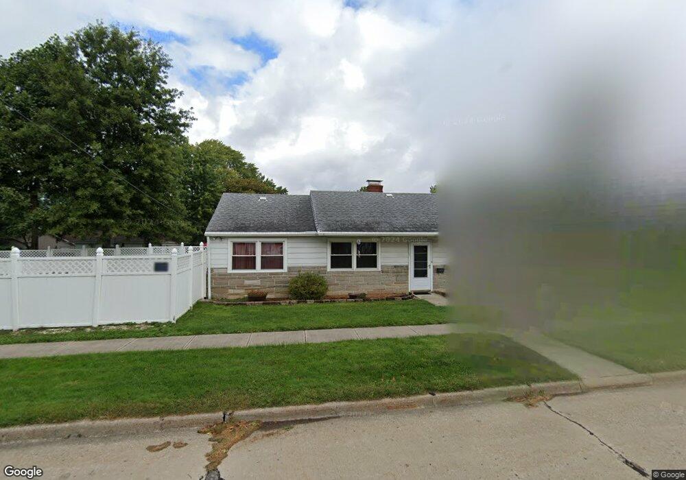
6370 Denison Blvd Parma Heights, OH 44130
Estimated Value: $178,000 - $192,000
2
Beds
1
Bath
1,106
Sq Ft
$167/Sq Ft
Est. Value
About This Home
This home is located at 6370 Denison Blvd, Parma Heights, OH 44130 and is currently estimated at $185,076, approximately $167 per square foot. 6370 Denison Blvd is a home located in Cuyahoga County with nearby schools including Greenbriar Middle School, Pleasant Valley Elementary School, and Valley Forge High School.
Ownership History
Date
Name
Owned For
Owner Type
Purchase Details
Closed on
Feb 23, 2000
Sold by
Robinson Jean V
Bought by
Barbato Robert L and Barbato Karen L
Current Estimated Value
Home Financials for this Owner
Home Financials are based on the most recent Mortgage that was taken out on this home.
Original Mortgage
$75,000
Outstanding Balance
$25,028
Interest Rate
8.29%
Estimated Equity
$160,048
Purchase Details
Closed on
Jan 1, 1975
Bought by
Robinson Jean
Create a Home Valuation Report for This Property
The Home Valuation Report is an in-depth analysis detailing your home's value as well as a comparison with similar homes in the area
Home Values in the Area
Average Home Value in this Area
Purchase History
| Date | Buyer | Sale Price | Title Company |
|---|---|---|---|
| Barbato Robert L | $85,000 | Enterprise Title Agency Inc | |
| Robinson Jean | -- | -- |
Source: Public Records
Mortgage History
| Date | Status | Borrower | Loan Amount |
|---|---|---|---|
| Open | Barbato Robert L | $75,000 |
Source: Public Records
Tax History Compared to Growth
Tax History
| Year | Tax Paid | Tax Assessment Tax Assessment Total Assessment is a certain percentage of the fair market value that is determined by local assessors to be the total taxable value of land and additions on the property. | Land | Improvement |
|---|---|---|---|---|
| 2024 | $3,605 | $55,965 | $11,375 | $44,590 |
| 2023 | $3,052 | $40,640 | $9,030 | $31,610 |
| 2022 | $3,035 | $40,635 | $9,030 | $31,605 |
| 2021 | $3,042 | $40,640 | $9,030 | $31,610 |
| 2020 | $2,744 | $32,760 | $7,280 | $25,480 |
| 2019 | $2,671 | $93,600 | $20,800 | $72,800 |
| 2018 | $2,603 | $32,760 | $7,280 | $25,480 |
| 2017 | $2,541 | $29,090 | $7,490 | $21,600 |
| 2016 | $2,524 | $29,090 | $7,490 | $21,600 |
| 2015 | $2,608 | $29,090 | $7,490 | $21,600 |
| 2014 | $2,608 | $30,320 | $7,810 | $22,510 |
Source: Public Records
Map
Nearby Homes
- 6418 Newland Rd
- 6525 Aylesworth Dr
- 6359 Olde York Rd Unit 6359
- 6413 Alderwood Rd
- 6108 Pearl Rd
- 6436 Olde York Rd
- 6111 Denison Blvd
- 8963 Lynnhaven Rd
- 9999 W Ridgewood Dr
- 8314 Oxford Dr
- 8218 Covington Ave
- 9474 Stoney Creek Ln
- 11019 Westborough Rd
- 8514 Deerfield Dr
- 8017 Ackley Rd
- 8017 Wainstead Dr
- 10438 N Church Dr
- 6630 York Rd
- 10172 Keswick Dr
- 10839 Tiffany Ln
- 6364 Denison Blvd
- 6358 Denison Blvd
- 6380 Denison Blvd
- 6386 Denison Blvd
- 6352 Denison Blvd
- 6375 Stratford Dr
- 6369 Stratford Dr
- 6348 Denison Blvd
- 6392 Denison Blvd
- 6363 Stratford Dr
- 6383 Stratford Dr
- 6357 Stratford Dr
- 6389 Stratford Dr
- 6383 Denison Blvd
- 6375 Denison Blvd
- 6369 Denison Blvd
- 6342 Denison Blvd
- 6406 Denison Blvd
- 6363 Denison Blvd
- 6389 Denison Blvd