6370 Sworm Ln Edwardsville, IL 62025
Estimated Value: $546,000 - $754,000
5
Beds
4
Baths
2,247
Sq Ft
$280/Sq Ft
Est. Value
About This Home
This home is located at 6370 Sworm Ln, Edwardsville, IL 62025 and is currently estimated at $628,803, approximately $279 per square foot. 6370 Sworm Ln is a home located in Madison County with nearby schools including N.O. Nelson Elementary School, Woodland Elementary School, and Lincoln Middle School.
Ownership History
Date
Name
Owned For
Owner Type
Purchase Details
Closed on
Jul 3, 2006
Sold by
Ray Charles A
Bought by
Ramsey Keith H and Ramsey Leisa U
Current Estimated Value
Home Financials for this Owner
Home Financials are based on the most recent Mortgage that was taken out on this home.
Original Mortgage
$272,000
Outstanding Balance
$155,611
Interest Rate
6%
Mortgage Type
Purchase Money Mortgage
Estimated Equity
$473,192
Create a Home Valuation Report for This Property
The Home Valuation Report is an in-depth analysis detailing your home's value as well as a comparison with similar homes in the area
Home Values in the Area
Average Home Value in this Area
Purchase History
| Date | Buyer | Sale Price | Title Company |
|---|---|---|---|
| Ramsey Keith H | $480,000 | First American Title Ins Co |
Source: Public Records
Mortgage History
| Date | Status | Borrower | Loan Amount |
|---|---|---|---|
| Open | Ramsey Keith H | $272,000 |
Source: Public Records
Tax History Compared to Growth
Tax History
| Year | Tax Paid | Tax Assessment Tax Assessment Total Assessment is a certain percentage of the fair market value that is determined by local assessors to be the total taxable value of land and additions on the property. | Land | Improvement |
|---|---|---|---|---|
| 2024 | $11,005 | $181,180 | $28,210 | $152,970 |
| 2023 | $11,005 | $168,130 | $26,180 | $141,950 |
| 2022 | $10,201 | $155,160 | $24,160 | $131,000 |
| 2021 | $9,222 | $146,000 | $22,730 | $123,270 |
| 2020 | $8,867 | $139,880 | $21,780 | $118,100 |
| 2019 | $8,752 | $137,060 | $21,340 | $115,720 |
| 2018 | $8,590 | $132,470 | $20,630 | $111,840 |
| 2017 | $8,529 | $128,480 | $20,010 | $108,470 |
| 2016 | $7,565 | $128,480 | $20,010 | $108,470 |
| 2015 | $7,537 | $128,480 | $20,010 | $108,470 |
| 2014 | $7,537 | $126,840 | $20,220 | $106,620 |
| 2013 | $7,537 | $126,840 | $20,220 | $106,620 |
Source: Public Records
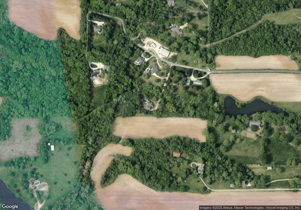
Map
Nearby Homes
- 6623 Fox View Dr
- 6613 Fox View Dr
- 112 Fox Hill Ct
- 121 Fox Hill Ct
- 0 White Pine Lot 10 Dr Unit MAR24071307
- 0 Ebbets Field Subdv Unit 23019883
- 101 Fox Hill Ct
- 0 Dr Unit MAR24071988
- 0 River Birch Lot 24 Dr Unit MAR24072471
- 0 Birchwood Lot 17 Dr Unit MAR24072183
- 0 River Birch Lot 22 Dr Unit MAR24072452
- 0 River Birch Lot 30 Dr Unit MAR24073188
- 0 Dr Unit MAR24073228
- 0 Birchwood Lot 18 Dr Unit MAR24072184
- 0 White Pine Lot 15 Dr Unit MAR24072074
- 0 River Birch Lot 32 Dr Unit MAR24073211
- 0 White Pine Lot 13 Dr Unit MAR24072068
- 0 River Birch Lot 26 Dr Unit MAR24072479
- 0 White Pine Lot 14 Dr Unit MAR24072070
- 0 River Birch Lot 36 Dr Unit MAR24073239
- 6320 Sworm Ln
- 6286 Sworm Ln
- 6404 Sworm Ln
- 6407 Sworm Ln
- 6280 Sworm Ln
- 5177 N State Route 159
- 6260 Sworm Ln
- 5180 Springfield Dr
- 5180 Springfield Dr
- 6409 Sworm Ln
- 5213 N State Route 159
- 6249 Sworm Ln
- 5303 N State Route 159
- 5193 N State Route 159
- 5315 N State Route 159
- 5207 N State Route 159
- 6225 Sworm Ln
- 5321 N State Route 159
- 5160 Springfield Dr
- 5168 Springfield Dr