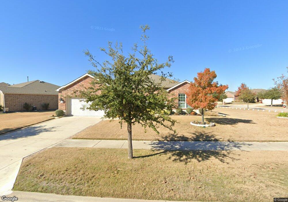
6371 Eagle Rock Dr Frisco, TX 75036
Southwest Frisco NeighborhoodEstimated Value: $661,265 - $710,000
2
Beds
2
Baths
2,553
Sq Ft
$267/Sq Ft
Est. Value
About This Home
This home is located at 6371 Eagle Rock Dr, Frisco, TX 75036 and is currently estimated at $682,816, approximately $267 per square foot. 6371 Eagle Rock Dr is a home located in Denton County with nearby schools including Hackberry Elementary School, Lowell H Strike Middle School, and Little Elm High School.
Ownership History
Date
Name
Owned For
Owner Type
Purchase Details
Closed on
Mar 31, 2016
Sold by
Pulte Homes Of Texas Lp
Bought by
Gregory Family Trust
Current Estimated Value
Home Financials for this Owner
Home Financials are based on the most recent Mortgage that was taken out on this home.
Original Mortgage
$217,840
Outstanding Balance
$172,890
Interest Rate
3.65%
Mortgage Type
Commercial
Estimated Equity
$509,926
Create a Home Valuation Report for This Property
The Home Valuation Report is an in-depth analysis detailing your home's value as well as a comparison with similar homes in the area
Home Values in the Area
Average Home Value in this Area
Purchase History
| Date | Buyer | Sale Price | Title Company |
|---|---|---|---|
| Gregory Family Trust | -- | Attorney |
Source: Public Records
Mortgage History
| Date | Status | Borrower | Loan Amount |
|---|---|---|---|
| Open | Gregory Family Trust | $217,840 |
Source: Public Records
Tax History Compared to Growth
Tax History
| Year | Tax Paid | Tax Assessment Tax Assessment Total Assessment is a certain percentage of the fair market value that is determined by local assessors to be the total taxable value of land and additions on the property. | Land | Improvement |
|---|---|---|---|---|
| 2025 | $4,363 | $706,286 | $142,626 | $563,660 |
| 2024 | $12,477 | $678,615 | $0 | $0 |
| 2023 | $4,374 | $616,923 | $142,626 | $535,075 |
| 2022 | $11,649 | $560,839 | $122,251 | $467,690 |
| 2021 | $11,039 | $509,854 | $122,251 | $387,603 |
| 2020 | $10,415 | $471,226 | $86,594 | $384,632 |
| 2019 | $11,044 | $477,657 | $86,594 | $393,199 |
| 2018 | $9,659 | $434,234 | $81,806 | $371,615 |
| 2017 | $8,707 | $389,000 | $81,806 | $307,194 |
| 2016 | $6,984 | $312,000 | $81,806 | $230,194 |
| 2015 | -- | $40,903 | $40,903 | $0 |
Source: Public Records
Map
Nearby Homes
- 6445 Paragon Dr
- 6281 Paragon Dr
- 2221 Lariat Trail
- 6371 Walnut Hill Ct
- 3179 Fish Hook Ln
- 6726 Hickory Creek Dr
- 2464 Luna Vista Ln
- 6807 Deacon Dr
- 12233 Candle Island Dr
- 2990 Rolling River Rd
- 6373 Cherry Hills Dr
- 3034 Lazy Rock Ln
- 12105 Wind Surf Dr
- 2941 Oyster Bay Dr
- 5120 Seashore Ln
- 11721 Summer Springs Dr
- 8736 Edgewater Dr
- 1803 Battle Creek Dr
- 5001 Bluewater Dr
- 11909 Beach St
- 6359 Eagle Rock Dr
- 2935 Rising Tide Dr
- 6335 Eagle Rock Dr
- 2920 Rising Tide Dr
- 2908 Rising Tide Dr
- 2951 Rising Tide Dr
- 6382 Eagle Rock Dr
- 6368 Eagle Rock Dr
- 2932 Rising Tide Dr
- 6396 Eagle Rock Dr
- 6354 Eagle Rock Dr
- 2944 Rising Tide Dr
- 6410 Eagle Rock Dr
- 2967 Rising Tide Dr
- 6321 Eagle Rock Dr
- 6436 Eagle Rock Dr
- 2956 Rising Tide Dr
- 6340 Eagle Rock Dr
- 2831 Shore Shadows Ln
- 2815 Shore Shadows Ln