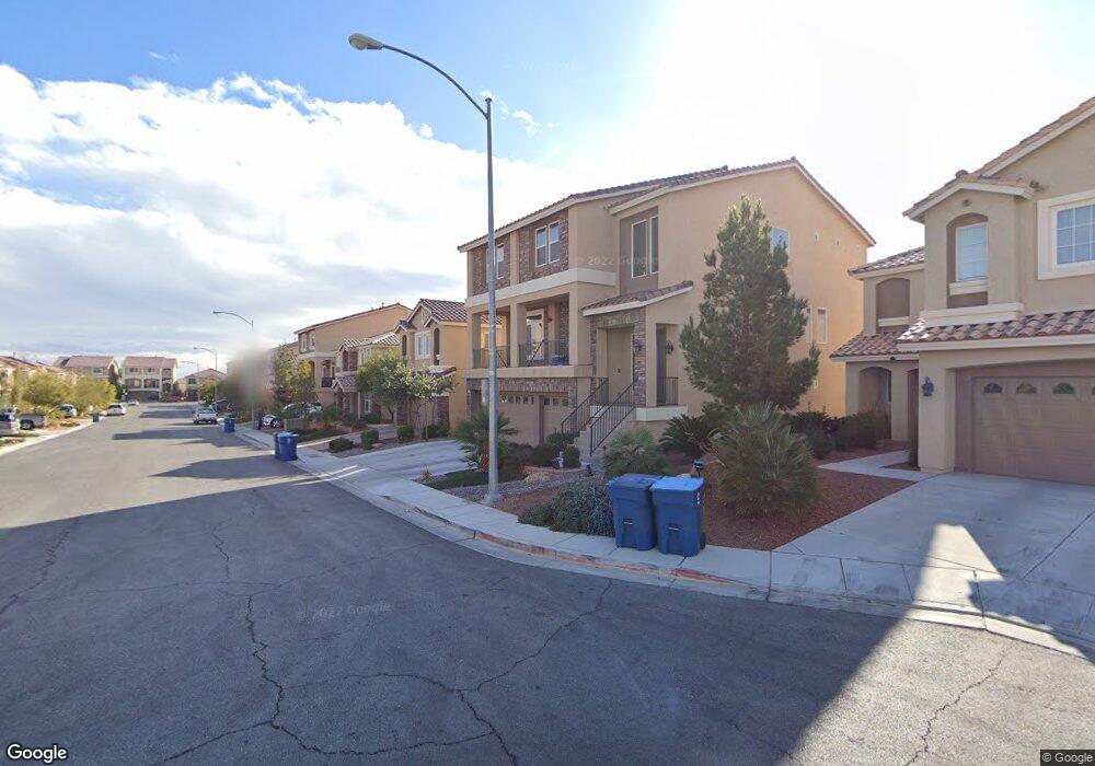
6371 Sharp Rock Ct Las Vegas, NV 89139
Coronado Ranch NeighborhoodEstimated Value: $537,366 - $627,000
4
Beds
3
Baths
2,460
Sq Ft
$233/Sq Ft
Est. Value
About This Home
This home is located at 6371 Sharp Rock Ct, Las Vegas, NV 89139 and is currently estimated at $574,092, approximately $233 per square foot. 6371 Sharp Rock Ct is a home with nearby schools including Mark L Fine Elementary School, Lawrence & Heidi Canarelli Middle School, and Sierra Vista High School.
Ownership History
Date
Name
Owned For
Owner Type
Purchase Details
Closed on
Apr 9, 2014
Sold by
Reserve 3 Llc
Bought by
Chan Jeffrey H and Chan Mo Get
Current Estimated Value
Home Financials for this Owner
Home Financials are based on the most recent Mortgage that was taken out on this home.
Original Mortgage
$263,656
Outstanding Balance
$199,974
Interest Rate
4.28%
Mortgage Type
New Conventional
Estimated Equity
$374,118
Purchase Details
Closed on
Oct 14, 2013
Sold by
Canfam Holdings Llc
Bought by
Reserve 3 Llc
Create a Home Valuation Report for This Property
The Home Valuation Report is an in-depth analysis detailing your home's value as well as a comparison with similar homes in the area
Home Values in the Area
Average Home Value in this Area
Purchase History
| Date | Buyer | Sale Price | Title Company |
|---|---|---|---|
| Chan Jeffrey H | $329,570 | First American Title Centra | |
| Reserve 3 Llc | -- | Accommodation |
Source: Public Records
Mortgage History
| Date | Status | Borrower | Loan Amount |
|---|---|---|---|
| Open | Chan Jeffrey H | $263,656 |
Source: Public Records
Tax History Compared to Growth
Tax History
| Year | Tax Paid | Tax Assessment Tax Assessment Total Assessment is a certain percentage of the fair market value that is determined by local assessors to be the total taxable value of land and additions on the property. | Land | Improvement |
|---|---|---|---|---|
| 2025 | $3,158 | $166,973 | $47,250 | $119,723 |
| 2024 | $3,067 | $166,973 | $47,250 | $119,723 |
| 2023 | $3,067 | $159,287 | $47,250 | $112,037 |
| 2022 | $2,978 | $136,927 | $35,000 | $101,927 |
| 2021 | $2,891 | $119,978 | $33,250 | $86,728 |
| 2020 | $2,804 | $120,765 | $33,250 | $87,515 |
| 2019 | $2,722 | $113,271 | $28,350 | $84,921 |
| 2018 | $2,643 | $102,582 | $25,200 | $77,382 |
| 2017 | $2,973 | $101,377 | $24,150 | $77,227 |
| 2016 | $2,503 | $96,787 | $22,050 | $74,737 |
| 2015 | $2,498 | $91,595 | $19,950 | $71,645 |
| 2014 | $2,419 | $10,500 | $10,500 | $0 |
Source: Public Records
Map
Nearby Homes
- 6314 Sharp Rock Ct
- 6313 Stag Hollow Ct
- 8312 Langhorne Creek St
- 8494 Langhorne Creek St
- 6279 Sierra Knolls Ct
- 8543 Alpine Vineyards Ct
- 6250 Sierra Knolls Ct
- 6465 Grande River Ct
- 6197 Glimmering Light Ave
- 6403 Brandon Hills Ct
- 6454 Mount Palomar Ave
- 8276 Sorrel St
- 6433 Brandon Hills Ct
- 6275 Mount Palomar Ave
- 6507 Creekside Cellars Ct
- 6609 Samba Ave
- 8624 Calla Lily Ct
- 6125 Cambiata Ct
- 6638 Melodic Ct
- 8620 Grove Mill Ct
- 6379 Sharp Rock Ct
- 6363 Sharp Rock Ct
- 6387 Sharp Rock Ct
- 6355 Sharp Rock Ct
- 6368 Stag Hollow Ct
- 6376 Stag Hollow Ct
- 6360 Stag Hollow Ct
- 6352 Stag Hollow Ct
- 6384 Stag Hollow Ct
- 6395 Sharp Rock Ct
- 6347 Sharp Rock Ct
- 6378 Sharp Rock Ct
- 6362 Sharp Rock Ct
- 6386 Sharp Rock Ct
- 6344 Stag Hollow Ct Unit n/a
- 6344 Stag Hollow Ct
- 6392 Stag Hollow Ct
- 6354 Sharp Rock Ct
- 6403 Parrot Ridge Ct
- 6394 Sharp Rock Ct