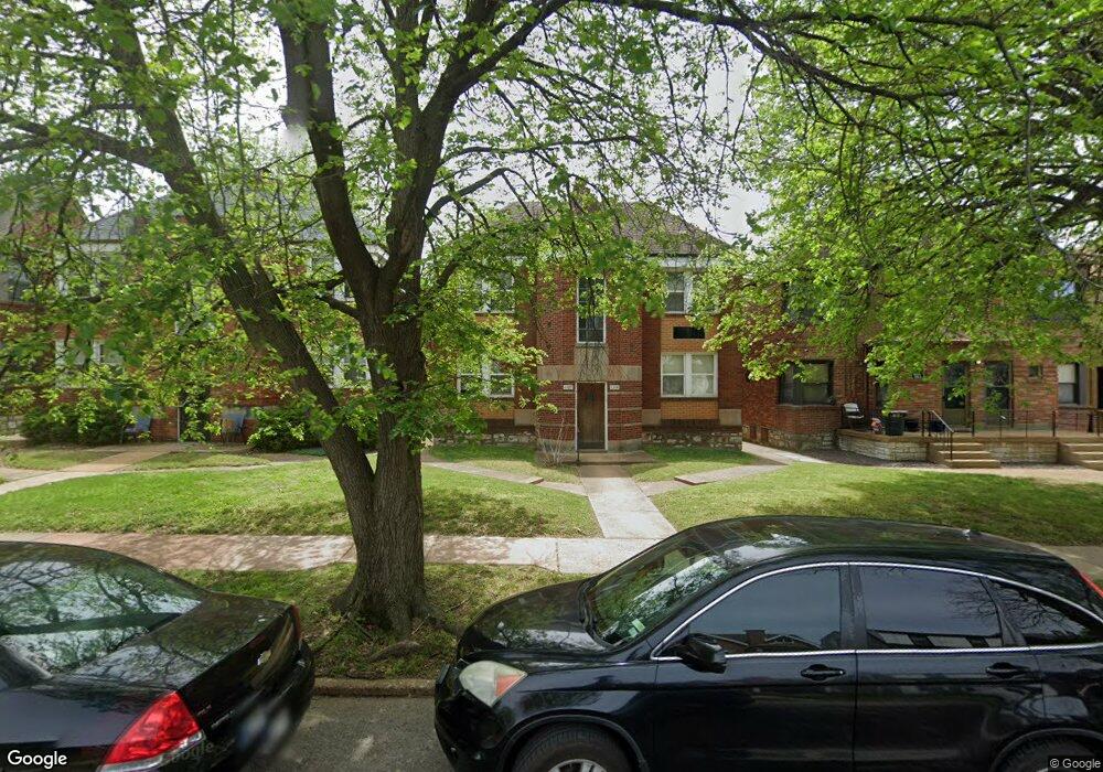
6372 Bancroft Ave Saint Louis, MO 63109
Saint Louis Hills NeighborhoodEstimated Value: $430,000 - $462,000
--
Bed
4
Baths
3,124
Sq Ft
$143/Sq Ft
Est. Value
About This Home
This home is located at 6372 Bancroft Ave, Saint Louis, MO 63109 and is currently estimated at $447,000, approximately $143 per square foot. 6372 Bancroft Ave is a home located in St. Louis City with nearby schools including Buder Elementary School, Long International Middle School, and Roosevelt High School.
Ownership History
Date
Name
Owned For
Owner Type
Purchase Details
Closed on
Apr 13, 2021
Sold by
Indenture Of Trust Of Sandra L Reschak and Reschak Sandra L
Bought by
Rss Bancroft 72 Llc
Current Estimated Value
Purchase Details
Closed on
Sep 7, 1999
Sold by
Reschak Robert J and Reschak Sandra L
Bought by
Robert J Reschak Trust and Sandra L Reschak Trust
Create a Home Valuation Report for This Property
The Home Valuation Report is an in-depth analysis detailing your home's value as well as a comparison with similar homes in the area
Home Values in the Area
Average Home Value in this Area
Purchase History
| Date | Buyer | Sale Price | Title Company |
|---|---|---|---|
| Rss Bancroft 72 Llc | -- | None Listed On Document | |
| Rss Bancroft 72 Llc | -- | None Available | |
| Robert J Reschak Trust | -- | -- |
Source: Public Records
Tax History Compared to Growth
Tax History
| Year | Tax Paid | Tax Assessment Tax Assessment Total Assessment is a certain percentage of the fair market value that is determined by local assessors to be the total taxable value of land and additions on the property. | Land | Improvement |
|---|---|---|---|---|
| 2025 | $4,050 | $56,230 | $5,700 | $50,530 |
| 2024 | $3,860 | $46,120 | $5,700 | $40,420 |
| 2023 | $3,860 | $46,120 | $5,700 | $40,420 |
| 2022 | $3,405 | $40,850 | $5,700 | $35,150 |
| 2021 | $3,400 | $40,850 | $5,700 | $35,150 |
| 2020 | $3,161 | $38,250 | $5,700 | $32,550 |
| 2019 | $3,150 | $38,250 | $5,700 | $32,550 |
| 2018 | $3,009 | $35,400 | $5,320 | $30,080 |
| 2017 | $2,958 | $35,400 | $5,320 | $30,080 |
| 2016 | $2,818 | $33,290 | $5,320 | $27,970 |
| 2015 | $2,555 | $33,290 | $5,320 | $27,970 |
| 2014 | $2,527 | $33,290 | $5,320 | $27,970 |
| 2013 | -- | $32,950 | $5,320 | $27,630 |
Source: Public Records
Map
Nearby Homes
- 3914 Watson Rd
- 6561 Bancroft Ave
- 6044 Sutherland Ave
- 6035 Lansdowne Ave
- 3807 Tamm Ave
- 6600 Devonshire Ave Unit 5
- 6439 Mardel Ave
- 3634 Childress Ave
- 6561 Mardel Ave
- 6637 Devonshire Ave Unit 2
- 6634 Lindenwood Place
- 6709 Lansdowne Ave
- 6211 Nottingham Ave
- 6600 Tholozan Ave
- 6534 Neosho St
- 6646 Mardel Ave
- 6621 Tholozan Ave
- 5816 Mardel Ave
- 4511 Jamieson Ave
- 4721 Jamieson Ave Unit 6
- 6376 Bancroft Ave
- 6366 Bancroft Ave
- 6380 Bancroft Ave
- 6362 Bancroft Ave
- 6358 Bancroft Ave
- 6365 Sutherland Ave
- 6369 Sutherland Ave
- 6361 Sutherland Ave
- 6352 Bancroft Ave
- 6373 Sutherland Ave
- 6400 Bancroft Ave
- 6363 Sutherland Ave Unit 1E
- 6363 Sutherland Ave Unit 2E
- 6357 Sutherland Ave
- 6401 Sutherland Ave
- 6373 Bancroft Ave
- 6369 Bancroft Ave
- 6377 Bancroft Ave
- 6365 Bancroft Ave
- 6353 Sutherland Ave