Estimated Value: $1,667,000 - $2,555,000
4
Beds
4
Baths
4,068
Sq Ft
$531/Sq Ft
Est. Value
About This Home
This home is located at 63731 Johnson Rd, Bend, OR 97701 and is currently estimated at $2,159,015, approximately $530 per square foot. 63731 Johnson Rd is a home located in Deschutes County with nearby schools including North Star Elementary School, Pacific Crest Middle School, and Summit High School.
Ownership History
Date
Name
Owned For
Owner Type
Purchase Details
Closed on
Apr 14, 2022
Sold by
Shannon James L
Bought by
Jim And Robbi Shannon Joint Trust
Current Estimated Value
Purchase Details
Closed on
Sep 23, 2009
Sold by
Craig Hilary W and Craig Michael O
Bought by
Shannon James L and Shannon Roberta A
Home Financials for this Owner
Home Financials are based on the most recent Mortgage that was taken out on this home.
Original Mortgage
$256,600
Interest Rate
5.25%
Mortgage Type
New Conventional
Purchase Details
Closed on
Aug 30, 2004
Sold by
Bell John C
Bought by
Craig Hilary and Craig Michael O
Home Financials for this Owner
Home Financials are based on the most recent Mortgage that was taken out on this home.
Original Mortgage
$600,000
Interest Rate
5.95%
Mortgage Type
Credit Line Revolving
Create a Home Valuation Report for This Property
The Home Valuation Report is an in-depth analysis detailing your home's value as well as a comparison with similar homes in the area
Purchase History
| Date | Buyer | Sale Price | Title Company |
|---|---|---|---|
| Jim And Robbi Shannon Joint Trust | $98,000 | None Listed On Document | |
| Shannon James L | $320,794 | Amerititle | |
| Craig Hilary | $750,000 | Amerititle |
Source: Public Records
Mortgage History
| Date | Status | Borrower | Loan Amount |
|---|---|---|---|
| Previous Owner | Shannon James L | $256,600 | |
| Previous Owner | Craig Hilary | $600,000 |
Source: Public Records
Tax History
| Year | Tax Paid | Tax Assessment Tax Assessment Total Assessment is a certain percentage of the fair market value that is determined by local assessors to be the total taxable value of land and additions on the property. | Land | Improvement |
|---|---|---|---|---|
| 2025 | $10,118 | $768,040 | -- | -- |
| 2024 | $9,683 | $745,680 | -- | -- |
| 2023 | $9,116 | $723,970 | $0 | $0 |
| 2022 | $8,409 | $682,430 | $0 | $0 |
| 2021 | $8,462 | $662,560 | $0 | $0 |
| 2020 | $7,994 | $662,560 | $0 | $0 |
| 2019 | $7,770 | $562,000 | $0 | $0 |
| 2018 | $7,545 | $545,640 | $0 | $0 |
| 2017 | $4,831 | $346,700 | $0 | $0 |
Source: Public Records
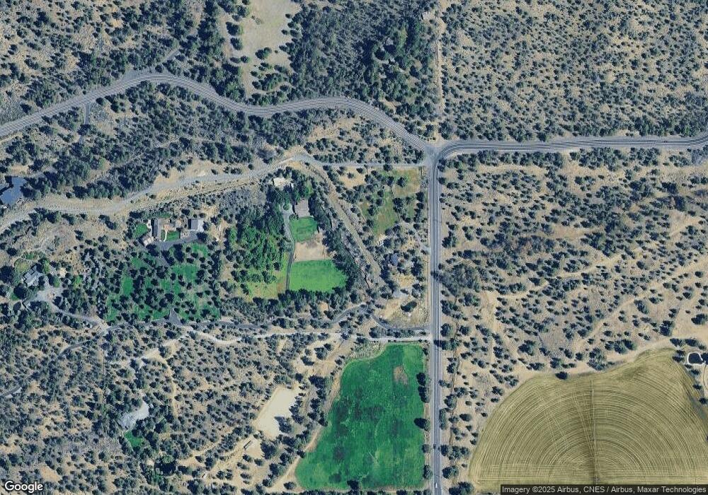
Map
Nearby Homes
- 19436 Klippel Rd
- 63420 Shoreline Dr
- 3038 NW Butte View Dr
- 19365 Rim View Ct
- 63280 Palla Ln
- 63204 NW Red Butte Ct
- 63220 Johnson Rd
- 3965 NW Rocher Way
- 3955 NW Rocher Way
- 64495 Quail Dr
- 3500 NW Mccready Dr
- 3563 NW Mccready Dr
- 3493 NW Conrad Dr
- 3496 NW Mccready Dr
- 3307 NW Massey Dr
- 2279 NW Putnam Rd
- 0 Concannon Dr Unit Lot 42
- 0 Concannon Dr Unit Lot 41
- 0 Concannon Dr Unit Lot 43
- 3437 NW Braid Dr
Your Personal Tour Guide
Ask me questions while you tour the home.