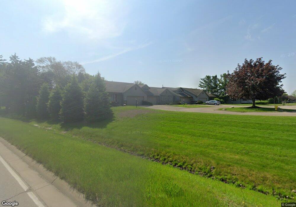
6374 Springmont Ct Unit 75 Hudsonville, MI 49426
Estimated Value: $308,182 - $325,000
2
Beds
2
Baths
1,048
Sq Ft
$302/Sq Ft
Est. Value
About This Home
This home is located at 6374 Springmont Ct Unit 75, Hudsonville, MI 49426 and is currently estimated at $316,546, approximately $302 per square foot. 6374 Springmont Ct Unit 75 is a home located in Ottawa County with nearby schools including Bursley School, Jenison Junior High School, and Jenison High School.
Ownership History
Date
Name
Owned For
Owner Type
Purchase Details
Closed on
Apr 30, 2018
Sold by
Kraai Joan L and Kraai James A
Bought by
Melvin Brittany E
Current Estimated Value
Home Financials for this Owner
Home Financials are based on the most recent Mortgage that was taken out on this home.
Original Mortgage
$159,900
Outstanding Balance
$137,838
Interest Rate
4.45%
Mortgage Type
New Conventional
Estimated Equity
$178,708
Purchase Details
Closed on
Jul 21, 2015
Sold by
Kraai James A and Kraai Joan L
Bought by
Kraai Living Trust
Create a Home Valuation Report for This Property
The Home Valuation Report is an in-depth analysis detailing your home's value as well as a comparison with similar homes in the area
Home Values in the Area
Average Home Value in this Area
Purchase History
| Date | Buyer | Sale Price | Title Company |
|---|---|---|---|
| Melvin Brittany E | $199,900 | Star Title Agency Llc | |
| Kraai Living Trust | -- | Attorney |
Source: Public Records
Mortgage History
| Date | Status | Borrower | Loan Amount |
|---|---|---|---|
| Open | Melvin Brittany E | $159,900 |
Source: Public Records
Tax History Compared to Growth
Tax History
| Year | Tax Paid | Tax Assessment Tax Assessment Total Assessment is a certain percentage of the fair market value that is determined by local assessors to be the total taxable value of land and additions on the property. | Land | Improvement |
|---|---|---|---|---|
| 2025 | $3,355 | $137,000 | $0 | $0 |
| 2024 | $2,911 | $131,400 | $0 | $0 |
| 2023 | $2,779 | $118,400 | $0 | $0 |
| 2022 | $3,051 | $114,400 | $0 | $0 |
| 2021 | $2,962 | $109,800 | $0 | $0 |
| 2020 | $2,930 | $102,900 | $0 | $0 |
| 2019 | $2,953 | $101,700 | $0 | $0 |
| 2018 | $2,095 | $100,800 | $0 | $0 |
| 2017 | $2,059 | $97,700 | $0 | $0 |
| 2016 | $2,046 | $85,700 | $0 | $0 |
| 2015 | $1,830 | $69,700 | $0 | $0 |
| 2014 | $1,830 | $69,700 | $0 | $0 |
Source: Public Records
Map
Nearby Homes
- 6363 Eastridge Ct
- 6293 Eastridge Dr
- 6129 W Bay Ct
- 1643 Laramy Ln
- 1520 Winifred St
- 1519 Eagle Shore Ct Unit Lot 33
- 1496 Eagle Shore Ct Unit 13
- 1481 Eagle Shore Ct Unit 39
- 1433 Winifred St
- 1451 Eagle Shore Ct
- 1361 Carol Dr
- 1355 Bent Tree Dr Unit 12
- 5833 Nelson Dr
- 6905 Maple Ave
- 6451 12th Ave
- 6025 Gleneagle Dr
- 5954 Gleneagle Dr
- 1187 Fairfield Dr
- 2101 Rosewood St
- Parcel 8 16th Ave
- 6374 Springmont Ct
- 6374 Springmont Ct Unit 75
- 6372 Springmont Ct
- 6372 Springmont Ct Unit 74
- 6376 Springmont Ct Unit 76
- 1884 Port Sheldon St
- 6354 Springmont Ct Unit 70
- 6352 Springmont Ct
- 6352 Springmont Ct Unit 69
- 6377 Springmont Ct
- 6361 Eastridge Ct
- 6361 Eastridge Ct Unit 2
- 6379 Springmont Ct
- 6379 Springmont Ct Unit 72
- 6349 Eastridge Ct
- 6349 Eastridge Ct Unit 3
- 6357 Springmont Ct Unit 67
- 6325 Springmont Dr
- 6355 Springmont Ct
- 6327 Springmont Dr