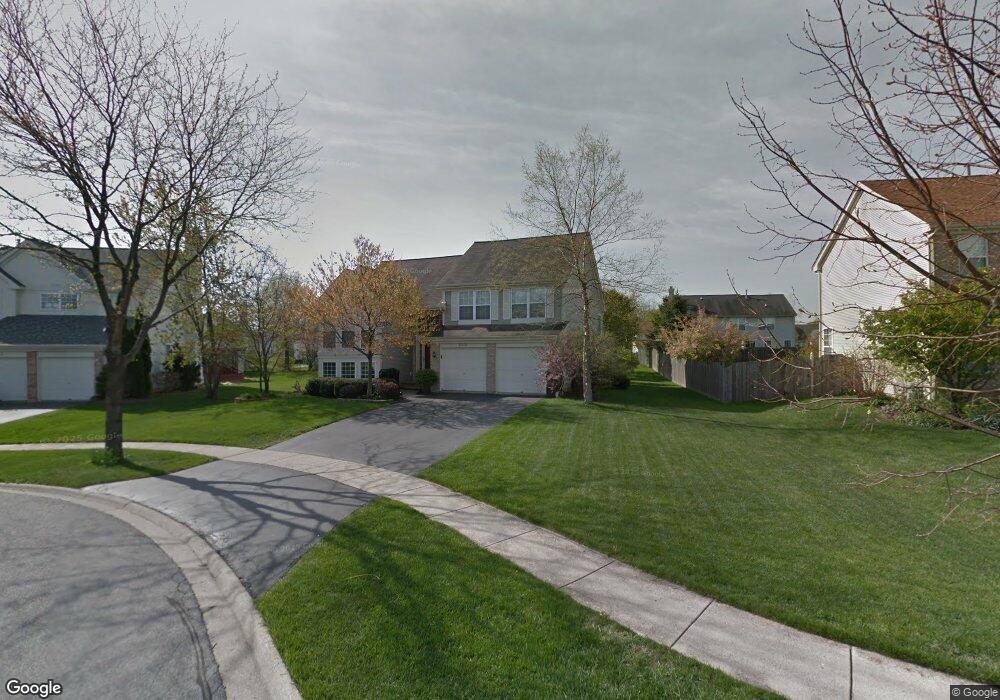
6375 Andover Dr Gurnee, IL 60031
Estimated Value: $428,622 - $473,000
About This Home
This home is located at 6375 Andover Dr, Gurnee, IL 60031 and is currently estimated at $442,156, approximately $295 per square foot. 6375 Andover Dr is a home located in Lake County with nearby schools including Woodland Primary School, Woodland Elementary School, and Woodland Intermediate School.
Ownership History
We collect this data history from publicly available records. To have your information removed, we recommend requesting removal directly through your county’s website.
Purchase Details
Home Financials for this Owner
Home Financials are based on the most recent Mortgage that was taken out on this home.Purchase Details
Purchase Details
Home Financials for this Owner
Home Financials are based on the most recent Mortgage that was taken out on this home.Purchase Details
Home Financials for this Owner
Home Financials are based on the most recent Mortgage that was taken out on this home.Purchase Details
Home Financials for this Owner
Home Financials are based on the most recent Mortgage that was taken out on this home.Home Values in the Area
Average Home Value in this Area
Purchase History
We collect this data history from publicly available records. To have your information removed, we recommend requesting removal directly through your county’s website.
| Date | Buyer | Sale Price | Title Company |
|---|---|---|---|
| $320,000 | Ticor | ||
| $320,000 | Ticor | ||
| $340,000 | Attorneys Title Guaranty Fun | ||
| $234,000 | -- | ||
| $220,500 | Chicago Title Insurance Co |
Mortgage History
We collect this data history from publicly available records. To have your information removed, we recommend requesting removal directly through your county’s website.
| Date | Status | Borrower | Loan Amount |
|---|---|---|---|
| Open | $315,056 | ||
| Previous Owner | $34,000 | ||
| Previous Owner | $210,600 | ||
| Previous Owner | $174,102 |
Tax History
We collect this data history from publicly available records. To have your information removed, we recommend requesting removal directly through your county’s website.
| Year | Tax Paid | Tax Assessment Tax Assessment Total Assessment is a certain percentage of the fair market value that is determined by local assessors to be the total taxable value of land and additions on the property. | Land | Improvement |
|---|---|---|---|---|
| 2025 | $10,904 | $132,732 | $18,744 | $113,988 |
| 2024 | $9,877 | $125,171 | $17,676 | $107,495 |
| 2023 | $9,419 | $108,507 | $15,323 | $93,184 |
| 2022 | $9,419 | $102,632 | $15,328 | $87,304 |
| 2021 | $8,511 | $98,514 | $14,713 | $83,801 |
| 2020 | $8,235 | $96,092 | $14,351 | $81,741 |
| 2019 | $7,999 | $93,302 | $13,934 | $79,368 |
| 2018 | $7,674 | $90,843 | $17,176 | $73,667 |
| 2017 | $7,591 | $88,240 | $16,684 | $71,556 |
| 2016 | $7,527 | $84,311 | $15,941 | $68,370 |
| 2015 | $7,327 | $79,962 | $15,119 | $64,843 |
| 2014 | $7,456 | $81,798 | $14,931 | $66,867 |
| 2012 | $7,280 | $82,424 | $15,045 | $67,379 |
Map
- 16820 W Serranda Dr Unit 17
- 703 Owl Creek Ln
- 913 Campbell Dr Unit U486
- 17080 W Cunningham Ct Unit 2AL
- 6061 Golfview Dr
- 917 Vose Dr Unit 411
- 930 Taylor Dr Unit 104
- 736 Glen Way Unit U193
- 6285 Murifield Dr
- 6275 Doral Dr
- 17505 W Woodland Dr
- 650 Whitney Ct Unit 105
- 324 S Fork Dr
- 661 Mitchell Ct Unit U235
- 17534 W Windhaven Ct
- 648 Mitchell Ct
- 6131 Oakmont Ln
- 32958 N Stone Manor Dr
- 1611 Burr Oak Dr
- 845 Brian Ct Unit 6
- 6383 Andover Dr
- 6367 Andover Dr
- 6372 Crossland Blvd
- 6380 Crossland Blvd
- 6364 Crossland Blvd
- 6359 Andover Dr
- 6391 Andover Dr
- 6350 Crossland Blvd
- 6328 Crossland Blvd
- 6388 Crossland Blvd
- 6378 Andover Dr
- 6354 Andover Dr
- 6386 Andover Dr
- 6370 Andover Dr
- 6394 Andover Dr
- 6373 Crossland Blvd
- 6365 Crossland Blvd
- 6381 Crossland Blvd
- 6407 Andover Dr
- 6357 Crossland Blvd
Ask me questions while you tour the home.