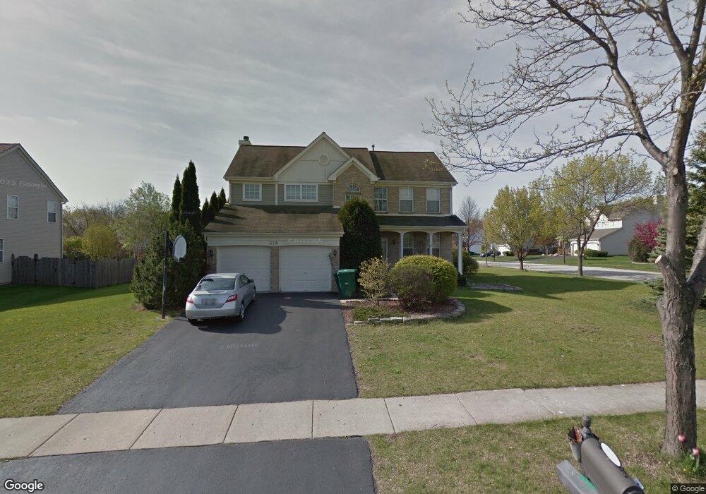
6391 Andover Dr Gurnee, IL 60031
Estimated Value: $490,000 - $504,000
About This Home
This home is located at 6391 Andover Dr, Gurnee, IL 60031 and is currently estimated at $495,566, approximately $214 per square foot. 6391 Andover Dr is a home located in Lake County with nearby schools including Woodland Primary School, Woodland Elementary School, and Woodland Intermediate School.
Ownership History
We collect this data history from publicly available records. To have your information removed, we recommend requesting removal directly through your county’s website.
Purchase Details
Home Financials for this Owner
Home Financials are based on the most recent Mortgage that was taken out on this home.Purchase Details
Home Financials for this Owner
Home Financials are based on the most recent Mortgage that was taken out on this home.Home Values in the Area
Average Home Value in this Area
Purchase History
We collect this data history from publicly available records. To have your information removed, we recommend requesting removal directly through your county’s website.
| Date | Buyer | Sale Price | Title Company |
|---|---|---|---|
| $359,000 | -- | ||
| $219,500 | Chicago Title Insurance Co |
Mortgage History
We collect this data history from publicly available records. To have your information removed, we recommend requesting removal directly through your county’s website.
| Date | Status | Borrower | Loan Amount |
|---|---|---|---|
| Open | $180,000 | ||
| Previous Owner | $175,550 |
Tax History
We collect this data history from publicly available records. To have your information removed, we recommend requesting removal directly through your county’s website.
| Year | Tax Paid | Tax Assessment Tax Assessment Total Assessment is a certain percentage of the fair market value that is determined by local assessors to be the total taxable value of land and additions on the property. | Land | Improvement |
|---|---|---|---|---|
| 2025 | $12,878 | $155,222 | $19,696 | $135,526 |
| 2024 | $11,684 | $146,381 | $18,574 | $127,807 |
| 2023 | $10,950 | $126,893 | $16,101 | $110,792 |
| 2022 | $10,950 | $118,342 | $16,106 | $102,236 |
| 2021 | $9,898 | $113,594 | $15,460 | $98,134 |
| 2020 | $9,579 | $110,802 | $15,080 | $95,722 |
| 2019 | $9,306 | $107,585 | $14,642 | $92,943 |
| 2018 | $8,831 | $103,613 | $18,053 | $85,560 |
| 2017 | $8,736 | $100,644 | $17,536 | $83,108 |
| 2016 | $8,666 | $96,163 | $16,755 | $79,408 |
| 2015 | $8,440 | $91,202 | $15,891 | $75,311 |
| 2014 | $8,540 | $92,827 | $15,690 | $77,137 |
| 2012 | $8,322 | $93,538 | $15,810 | $77,728 |
Map
- 6349 Braxton Ct
- 17271 W Huntington Cir
- 703 Owl Creek Ln
- 17080 W Cunningham Ct Unit 2AL
- 938 Chase Ct Unit U456
- 920 Vose Dr Unit 304
- 920 Vose Dr Unit 402
- 939 Chase Ct
- 638 Sandwedge Place
- 917 Vose Dr Unit 411
- 930 Taylor Dr Unit 104
- 6275 Doral Dr
- 17534 W Windhaven Ct
- 661 Mitchell Ct Unit U235
- 32958 N Stone Manor Dr
- 6131 Oakmont Ln
- 648 Mitchell Ct
- 1611 Burr Oak Dr
- 845 Brian Ct Unit 6
- 707 Chelsey Ct Unit 36
- 6383 Andover Dr
- 6388 Crossland Blvd
- 6380 Crossland Blvd
- 6375 Andover Dr
- 6407 Andover Dr
- 6394 Andover Dr
- 814 Halifax Rd
- 6372 Crossland Blvd
- 6386 Andover Dr
- 822 Halifax Rd
- 6410 Andover Dr
- 6367 Andover Dr
- 6378 Andover Dr
- 6415 Andover Dr
- 6364 Crossland Blvd
- 830 Halifax Rd
- 6418 Andover Dr
- 6359 Andover Dr
- 6389 Crossland Blvd
- 6370 Andover Dr
Ask me questions while you tour the home.