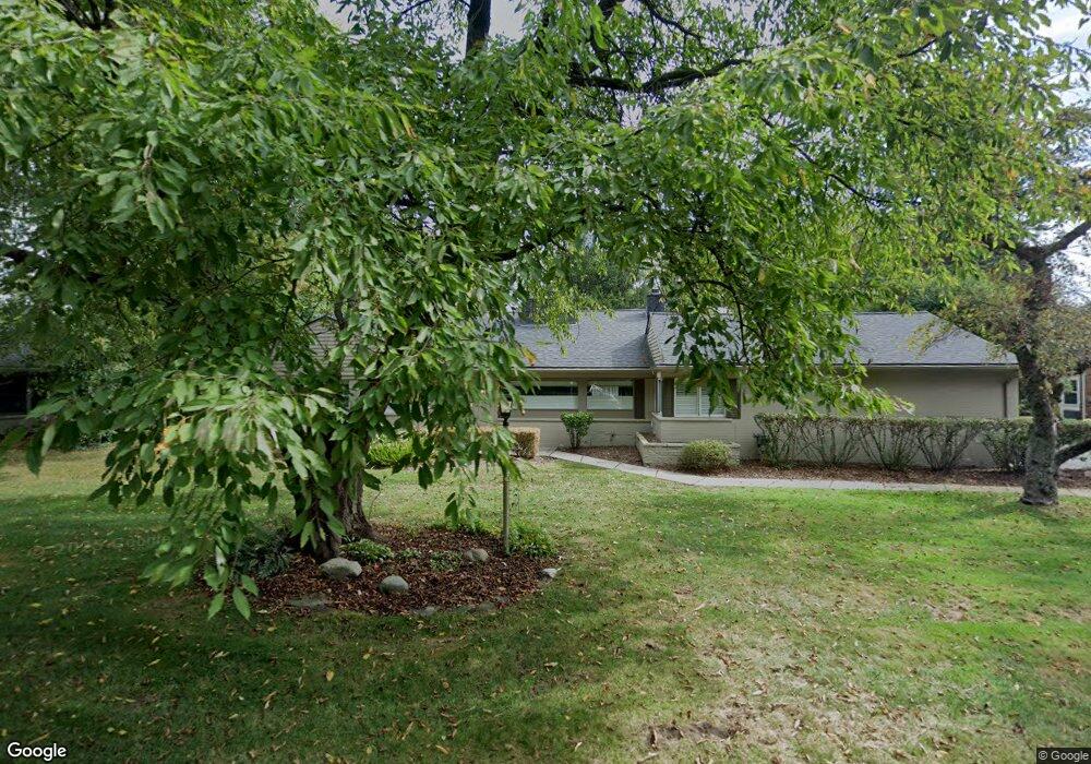
6375 E Surrey Rd Bloomfield Hills, MI 48301
Estimated Value: $542,015 - $726,000
3
Beds
3
Baths
2,195
Sq Ft
$294/Sq Ft
Est. Value
About This Home
This home is located at 6375 E Surrey Rd, Bloomfield Hills, MI 48301 and is currently estimated at $644,504, approximately $293 per square foot. 6375 E Surrey Rd is a home located in Oakland County with nearby schools including Conant Elementary School, South Hills Middle School, and Bloomfield Hills High School.
Ownership History
Date
Name
Owned For
Owner Type
Purchase Details
Closed on
Feb 18, 2020
Sold by
Mollen Ryan and Mollen Alexandra
Bought by
Spykman Anne Marie
Current Estimated Value
Purchase Details
Closed on
Sep 23, 2016
Sold by
Olds Keri A
Bought by
Mollen Ryan and Mollen Alexandra
Purchase Details
Closed on
Jan 29, 2008
Sold by
Young Patricia M and Young Laura
Bought by
Olds Keri A
Purchase Details
Closed on
Nov 20, 2003
Sold by
Lakind Barry M and Lakind Sue Ellen
Bought by
Young Patricia M and Young Laura B
Create a Home Valuation Report for This Property
The Home Valuation Report is an in-depth analysis detailing your home's value as well as a comparison with similar homes in the area
Home Values in the Area
Average Home Value in this Area
Purchase History
| Date | Buyer | Sale Price | Title Company |
|---|---|---|---|
| Spykman Anne Marie | $445,000 | Equity Title Agency Llc | |
| Mollen Ryan | $323,000 | Liberty Title | |
| Olds Keri A | $265,000 | Capital Title Ins Agency | |
| Young Patricia M | -- | Metropolitan Title Company |
Source: Public Records
Tax History Compared to Growth
Tax History
| Year | Tax Paid | Tax Assessment Tax Assessment Total Assessment is a certain percentage of the fair market value that is determined by local assessors to be the total taxable value of land and additions on the property. | Land | Improvement |
|---|---|---|---|---|
| 2024 | $3,497 | $202,970 | $0 | $0 |
| 2023 | $3,384 | $191,380 | $0 | $0 |
| 2022 | $6,359 | $170,400 | $0 | $0 |
| 2021 | $6,354 | $166,010 | $0 | $0 |
| 2020 | $2,867 | $162,530 | $0 | $0 |
| 2019 | $5,717 | $161,440 | $0 | $0 |
| 2018 | $5,744 | $147,680 | $0 | $0 |
| 2017 | $5,028 | $126,840 | $0 | $0 |
| 2016 | $3,836 | $123,070 | $0 | $0 |
| 2015 | -- | $119,530 | $0 | $0 |
| 2014 | -- | $99,850 | $0 | $0 |
| 2011 | -- | $93,670 | $0 | $0 |
Source: Public Records
Map
Nearby Homes
- 750 Trailwood Path Unit B
- 450 Billingsgate Ct Unit C
- 1760 Trailwood Path
- 6572 Spruce Dr
- 6660 Woodbank Dr
- 6386 Thorncrest Dr
- 6750 Wing Lake Rd
- 5904 Wing Lake Rd
- 6360 Hills Dr
- 4456 W Maple Rd
- 6952 Sandalwood Dr
- 6450 Gilbert Lake Rd
- 6940 Wing Lake Rd
- 4017 Hidden Woods Dr
- 7005 Cathedral Dr
- 6701 Franklin Rd
- 5630 S Adams Way
- 7100 Wing Lake Rd
- 7200 Telegraph Rd
- 5741 Snowshoe Cir
- 6375 E Surrey Rd
- 6395 E Surrey Rd
- 6355 E Surrey Rd
- 500 Billingsgate Ct
- 6335 E Surrey Rd
- 6360 E Surrey Rd
- 6330 E Surrey Rd
- 6375 W Surrey Rd
- 4220 Surrey Cross
- 400 Billingsgate Ct Unit 19
- 400 Billingsgate Ct
- 6315 E Surrey Rd
- 6345 W Surrey Rd
- 200 Billingsgate Ct
- 6310 E Surrey Rd
- 300 Billingsgate Ct
- 1560 Trailwood Path
- 1460 Trailwood Path
- 1260 Trailwood Path Unit 70
- 1160 Trailwood Path