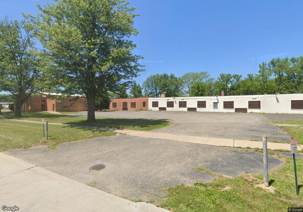
6375 Inkster Rd Taylor, MI 48180
Estimated Value: $88,000 - $1,206,000
Studio
--
Bath
--
Sq Ft
128,938
Sq Ft Lot
About This Home
This home is located at 6375 Inkster Rd, Taylor, MI 48180 and is currently estimated at $673,227. 6375 Inkster Rd is a home located in Wayne County with nearby schools including Holland Elementary School, Hoover Middle School, and Taylor High School.
Ownership History
Date
Name
Owned For
Owner Type
Purchase Details
Closed on
May 26, 2015
Sold by
Taylor School District
Bought by
King Of Kings Christian Center Inc
Current Estimated Value
Home Financials for this Owner
Home Financials are based on the most recent Mortgage that was taken out on this home.
Original Mortgage
$260,000
Outstanding Balance
$200,656
Interest Rate
3.65%
Mortgage Type
Future Advance Clause Open End Mortgage
Estimated Equity
$472,571
Purchase Details
Closed on
Aug 17, 2010
Sold by
Taylor School District
Bought by
King Of Kings Christian Center Inc
Create a Home Valuation Report for This Property
The Home Valuation Report is an in-depth analysis detailing your home's value as well as a comparison with similar homes in the area
Home Values in the Area
Average Home Value in this Area
Purchase History
| Date | Buyer | Sale Price | Title Company |
|---|---|---|---|
| King Of Kings Christian Center Inc | $390,000 | Attorney | |
| King Of Kings Christian Center Inc | -- | Minnesota Title Agency |
Source: Public Records
Mortgage History
| Date | Status | Borrower | Loan Amount |
|---|---|---|---|
| Open | King Of Kings Christian Center Inc | $260,000 |
Source: Public Records
Tax History
| Year | Tax Paid | Tax Assessment Tax Assessment Total Assessment is a certain percentage of the fair market value that is determined by local assessors to be the total taxable value of land and additions on the property. | Land | Improvement |
|---|---|---|---|---|
| 2025 | $12 | $0 | $0 | $0 |
| 2024 | $12 | $0 | $0 | $0 |
| 2023 | $23 | $0 | $0 | $0 |
| 2021 | $23 | $0 | $0 | $0 |
| 2019 | $6 | $0 | $0 | $0 |
| 2018 | $59 | $0 | $0 | $0 |
| 2017 | $59 | $0 | $0 | $0 |
| 2016 | $75 | $0 | $0 | $0 |
| 2015 | -- | $0 | $0 | $0 |
| 2013 | -- | $0 | $0 | $0 |
| 2012 | -- | $0 | $0 | $0 |
Source: Public Records
Map
Nearby Homes
- 6237 Inkster Rd
- 27029 Michelle Ct
- 27032 Joan St
- 27059 Jeannette Ct
- 6198 Princess St
- 6144 Princess St
- 5940 Daniels St
- 27620 Newcastle St
- 6155 Princess St
- 6334 Hampden St
- 6330 Hampden St
- 0 Ecorse Service Rd
- 26424 Beverly Rd
- 5970 John Daly St
- 0 Ecorse Rd Unit 20251029385
- 28176 Ecorse Rd
- 6310 Duncan St
- 6005 Frederick St Unit 56
- 26215 Beverly Rd
- 5132 S Inkster Rd
- 6321 Inkster Rd
- 6413 Inkster Rd
- 6288 Wellington St Unit Bldg-Unit
- 6288 Wellington St
- 6278 Wellington St
- 6281 Inkster Rd
- 6273 Inkster Rd
- 6258 Wellington St
- 6255 Inkster Rd
- 6416 Inkster Rd
- 27182 Beverly Rd
- 6238 Wellington St
- 27166 Beverly Rd
- 6450 Inkster Rd
- 6285 Wellington St
- 6224 Wellington St
- 27205 Beverly Rd
- 6221 Inkster Rd
- 27259 Joan St
- 27249 Joan St
Your Personal Tour Guide
Ask me questions while you tour the home.