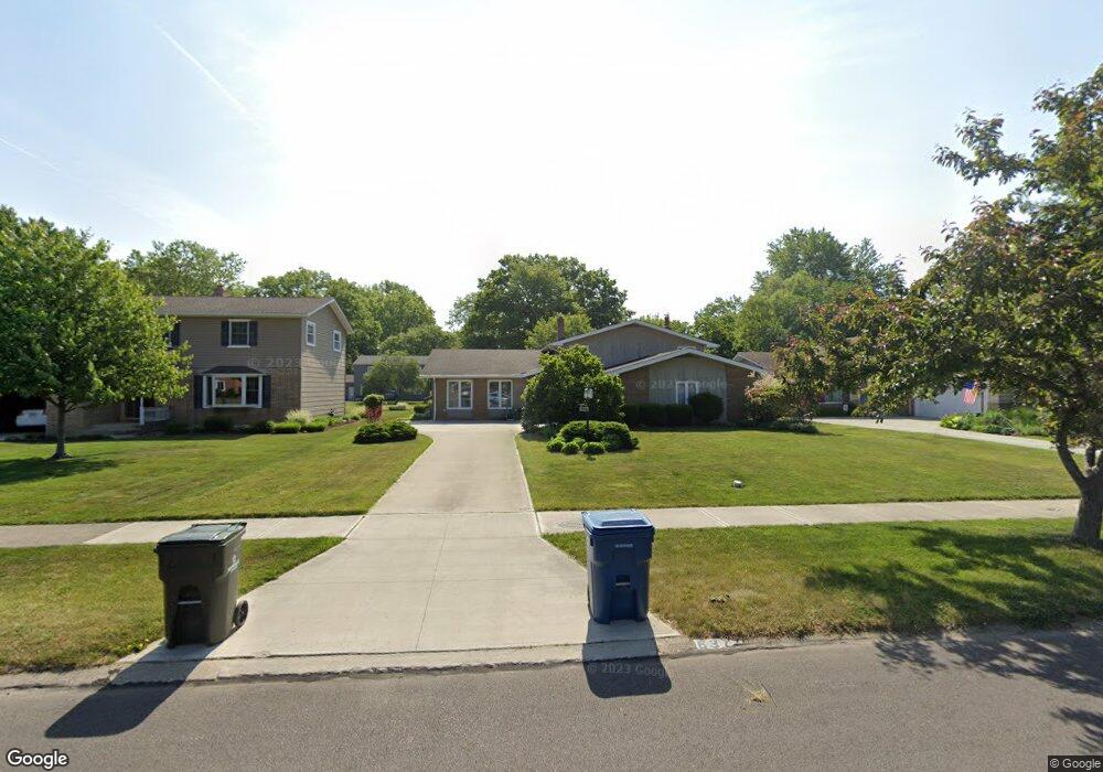
6377 Christman Dr North Olmsted, OH 44070
Estimated Value: $322,000 - $375,000
4
Beds
3
Baths
2,774
Sq Ft
$128/Sq Ft
Est. Value
About This Home
This home is located at 6377 Christman Dr, North Olmsted, OH 44070 and is currently estimated at $354,943, approximately $127 per square foot. 6377 Christman Dr is a home located in Cuyahoga County with nearby schools including Chestnut Intermediate Elementary School, Pine Intermediate School, and North Olmsted Middle School.
Ownership History
Date
Name
Owned For
Owner Type
Purchase Details
Closed on
Mar 10, 2004
Sold by
Mckee James A and Mckee Wendy M
Bought by
Cleary Thomas W and Cleary Linda K
Current Estimated Value
Home Financials for this Owner
Home Financials are based on the most recent Mortgage that was taken out on this home.
Original Mortgage
$148,000
Outstanding Balance
$60,374
Interest Rate
3.87%
Mortgage Type
Purchase Money Mortgage
Estimated Equity
$294,569
Purchase Details
Closed on
Apr 30, 2002
Sold by
Coleman Everett P and Coleman Virginia L
Bought by
Mckee James A and Mckee Wendy M
Home Financials for this Owner
Home Financials are based on the most recent Mortgage that was taken out on this home.
Original Mortgage
$153,000
Interest Rate
7.18%
Purchase Details
Closed on
Nov 12, 1976
Sold by
Mcswigan Charles H and L R
Bought by
Coleman Everett P
Purchase Details
Closed on
Jan 1, 1975
Bought by
Mcswigan Charles H and L R
Create a Home Valuation Report for This Property
The Home Valuation Report is an in-depth analysis detailing your home's value as well as a comparison with similar homes in the area
Home Values in the Area
Average Home Value in this Area
Purchase History
| Date | Buyer | Sale Price | Title Company |
|---|---|---|---|
| Cleary Thomas W | $185,000 | Real Estate Title Service C | |
| Mckee James A | $180,000 | Real Estate Title | |
| Coleman Everett P | $70,000 | -- | |
| Mcswigan Charles H | -- | -- |
Source: Public Records
Mortgage History
| Date | Status | Borrower | Loan Amount |
|---|---|---|---|
| Open | Cleary Thomas W | $148,000 | |
| Closed | Mckee James A | $153,000 |
Source: Public Records
Tax History Compared to Growth
Tax History
| Year | Tax Paid | Tax Assessment Tax Assessment Total Assessment is a certain percentage of the fair market value that is determined by local assessors to be the total taxable value of land and additions on the property. | Land | Improvement |
|---|---|---|---|---|
| 2024 | $6,757 | $98,595 | $18,025 | $80,570 |
| 2023 | $6,301 | $77,150 | $14,180 | $62,970 |
| 2022 | $6,268 | $77,140 | $14,175 | $62,965 |
| 2021 | $5,672 | $77,140 | $14,180 | $62,970 |
| 2020 | $5,474 | $65,940 | $12,110 | $53,830 |
| 2019 | $5,327 | $188,400 | $34,600 | $153,800 |
| 2018 | $5,402 | $65,940 | $12,110 | $53,830 |
| 2017 | $4,981 | $55,970 | $10,540 | $45,430 |
| 2016 | $4,938 | $55,970 | $10,540 | $45,430 |
| 2015 | $4,820 | $55,970 | $10,540 | $45,430 |
| 2014 | $4,820 | $54,320 | $10,220 | $44,100 |
Source: Public Records
Map
Nearby Homes
- 6305 Christman Dr
- 6281 Christman Dr
- 6321 Brighton Dr
- 0 Stearns Rd
- 29667 Bretton Ridge Dr
- 6723 Warrington Dr
- 6617 Sutton Dr
- 30247 Lorain Rd
- 29408 Stewart Dr
- 6580 Barton Rd
- 28628 Aspen Dr
- 29861 Wellington Dr
- 30630 Lorain Rd
- 28521 Aspen Dr
- 6151 Sherwood Dr
- 29600 Westminster Dr
- 5833 Stearns Rd
- 6427 Mackenzie Rd
- 6127 Mackenzie Rd
- 7100 Barton Rd
- 6365 Christman Dr
- 6389 Christman Dr
- 6401 Christman Dr
- 6353 Christman Dr
- 6376 Stafford Dr
- 6388 Stafford Dr
- 6364 Stafford Dr
- 6341 Christman Dr
- 6415 Christman Dr
- 6400 Stafford Dr
- 6378 Christman Dr
- 6390 Christman Dr
- 6366 Christman Dr
- 6402 Christman Dr
- 6412 Stafford Dr
- 6354 Christman Dr
- 6340 Stafford Dr
- 6425 Christman Dr
- 6416 Christman Dr
- 6342 Christman Dr