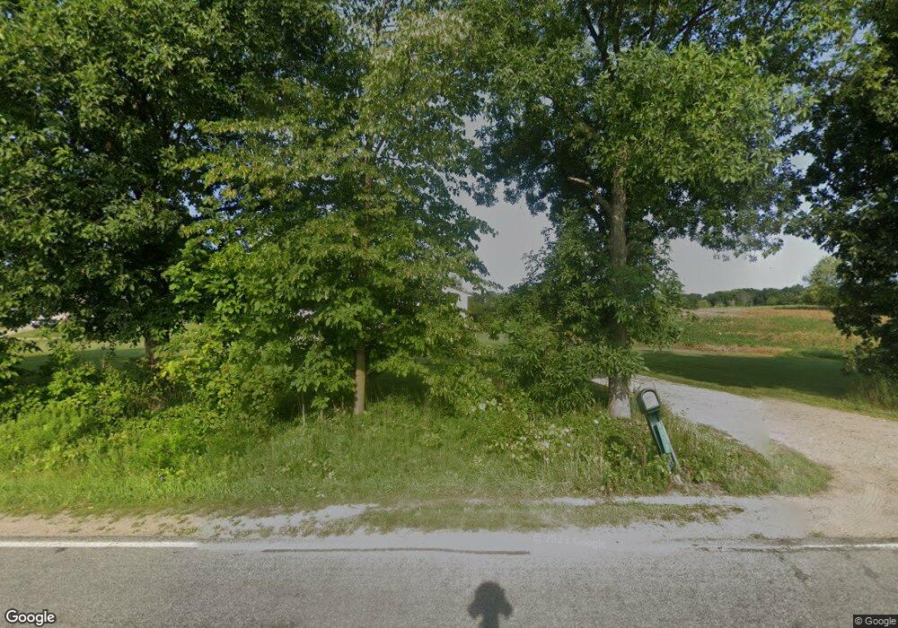
Estimated Value: $511,000
--
Bed
2
Baths
2,499
Sq Ft
$204/Sq Ft
Est. Value
About This Home
This home is located at 6379 Hayes Rd, Muir, MI 48860 and is currently estimated at $511,000, approximately $204 per square foot. 6379 Hayes Rd is a home located in Ionia County with nearby schools including Wilkinson County Elementary School, Carson City Elementary School, and William Winans Middle School.
Ownership History
Date
Name
Owned For
Owner Type
Purchase Details
Closed on
Aug 23, 2011
Sold by
Stevenson Tommy L
Bought by
Stevenson Tommy L and Stevenson Jennifer
Current Estimated Value
Home Financials for this Owner
Home Financials are based on the most recent Mortgage that was taken out on this home.
Original Mortgage
$214,000
Outstanding Balance
$84,637
Interest Rate
4.58%
Mortgage Type
Unknown
Estimated Equity
$426,363
Purchase Details
Closed on
Sep 16, 2004
Sold by
Devries Brian and Devries Jennifer
Bought by
Stevenson Tommy L
Home Financials for this Owner
Home Financials are based on the most recent Mortgage that was taken out on this home.
Original Mortgage
$94,500
Interest Rate
5.93%
Mortgage Type
Purchase Money Mortgage
Create a Home Valuation Report for This Property
The Home Valuation Report is an in-depth analysis detailing your home's value as well as a comparison with similar homes in the area
Home Values in the Area
Average Home Value in this Area
Purchase History
| Date | Buyer | Sale Price | Title Company |
|---|---|---|---|
| Stevenson Tommy L | -- | -- | |
| Stevenson Tommy L | $10,500 | -- |
Source: Public Records
Mortgage History
| Date | Status | Borrower | Loan Amount |
|---|---|---|---|
| Open | Stevenson Tommy L | $214,000 | |
| Previous Owner | Stevenson Tommy L | $94,500 |
Source: Public Records
Tax History Compared to Growth
Tax History
| Year | Tax Paid | Tax Assessment Tax Assessment Total Assessment is a certain percentage of the fair market value that is determined by local assessors to be the total taxable value of land and additions on the property. | Land | Improvement |
|---|---|---|---|---|
| 2025 | $3,425 | $318,500 | $50,700 | $267,800 |
| 2024 | $1,595 | $318,500 | $50,700 | $267,800 |
| 2023 | $1,521 | $279,300 | $50,400 | $228,900 |
| 2022 | $1,449 | $279,300 | $50,400 | $228,900 |
| 2021 | $3,125 | $146,200 | $44,500 | $101,700 |
| 2020 | $1,350 | $146,200 | $44,500 | $101,700 |
| 2019 | $1,292 | $127,500 | $47,500 | $80,000 |
| 2018 | $2,672 | $118,100 | $41,500 | $76,600 |
| 2017 | $1,268 | $118,100 | $41,500 | $76,600 |
| 2016 | $1,292 | $144,100 | $46,100 | $98,000 |
| 2015 | -- | $144,100 | $46,100 | $98,000 |
| 2014 | $1,168 | $131,000 | $44,100 | $86,900 |
Source: Public Records
Map
Nearby Homes
- 5299 Borden Rd
- 4555 Charles St
- 0 E Charles Rd Unit 25053011
- 4291 E Bricker Rd
- 3155 Cowboy Cove Ln
- 4816 Cole Rd
- 11670 Jessup Rd
- V/L Stoneybrook Trail
- 226 Church St
- 306 Russell St
- 8945 E Fenwick Rd
- 6928 Hubbardston Rd
- 1170 Liberty
- 1100 Hayes Rd
- 9203 S Castle Rd
- 3079 E Bluewater Hwy
- 1273 E Bridge St
- 93 N Robinson St
- 145 N Elizabeth St
- 8116 Timber Creek Dr
