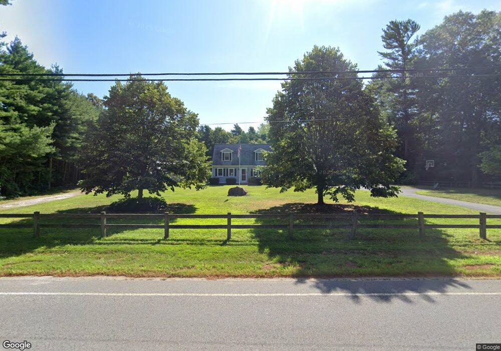
638 County Rd West Wareham, MA 02576
Estimated Value: $469,000 - $556,000
2
Beds
2
Baths
1,306
Sq Ft
$387/Sq Ft
Est. Value
About This Home
This home is located at 638 County Rd, West Wareham, MA 02576 and is currently estimated at $505,382, approximately $386 per square foot. 638 County Rd is a home located in Plymouth County.
Ownership History
Date
Name
Owned For
Owner Type
Purchase Details
Closed on
Jul 12, 2022
Sold by
Bates Sara W and Savary Wendy
Bought by
Savary Wendy and Savary Christopher R
Current Estimated Value
Home Financials for this Owner
Home Financials are based on the most recent Mortgage that was taken out on this home.
Original Mortgage
$325,000
Outstanding Balance
$308,296
Interest Rate
5.09%
Mortgage Type
New Conventional
Estimated Equity
$197,086
Purchase Details
Closed on
Aug 11, 2021
Sold by
Bates Sara W
Bought by
Bates Sara W and Savary Wendy
Purchase Details
Closed on
Dec 21, 1987
Sold by
Mcqluade David P
Bought by
Sanders Sara W
Home Financials for this Owner
Home Financials are based on the most recent Mortgage that was taken out on this home.
Original Mortgage
$55,000
Interest Rate
10.78%
Mortgage Type
Purchase Money Mortgage
Create a Home Valuation Report for This Property
The Home Valuation Report is an in-depth analysis detailing your home's value as well as a comparison with similar homes in the area
Purchase History
| Date | Buyer | Sale Price | Title Company |
|---|---|---|---|
| Savary Wendy | -- | None Available | |
| Savary Wendy | -- | None Available | |
| Savary Wendy | -- | None Available | |
| Bates Sara W | -- | None Available | |
| Bates Sara W | -- | None Available | |
| Bates Sara W | -- | None Available | |
| Sanders Sara W | $122,000 | -- |
Source: Public Records
Mortgage History
| Date | Status | Borrower | Loan Amount |
|---|---|---|---|
| Open | Savary Wendy | $325,000 | |
| Closed | Savary Wendy | $325,000 | |
| Previous Owner | Sanders Sara W | $50,000 | |
| Previous Owner | Sanders Sara W | $55,000 |
Source: Public Records
Tax History
| Year | Tax Paid | Tax Assessment Tax Assessment Total Assessment is a certain percentage of the fair market value that is determined by local assessors to be the total taxable value of land and additions on the property. | Land | Improvement |
|---|---|---|---|---|
| 2025 | $5,085 | $488,000 | $127,100 | $360,900 |
| 2024 | $4,787 | $426,300 | $101,900 | $324,400 |
| 2023 | $4,297 | $381,900 | $92,700 | $289,200 |
| 2022 | $4,297 | $326,000 | $92,700 | $233,300 |
| 2021 | $4,256 | $316,400 | $92,700 | $223,700 |
| 2020 | $4,068 | $306,800 | $92,700 | $214,100 |
| 2019 | $3,971 | $298,800 | $98,000 | $200,800 |
| 2018 | $3,834 | $281,300 | $98,000 | $183,300 |
| 2017 | $3,699 | $275,000 | $98,000 | $177,000 |
| 2016 | $3,552 | $262,500 | $102,800 | $159,700 |
| 2015 | $3,431 | $262,500 | $102,800 | $159,700 |
| 2014 | $3,215 | $250,200 | $97,800 | $152,400 |
Source: Public Records
Map
Nearby Homes
- 4 White Pine Ave
- 0 County Rd
- 137 Fearing Hill Rd
- 15 Cross Rd
- 31 Cross Rd
- 2 Edwards Bridge Rd
- 82 Pierce St
- 4 Hatchery Ln
- Lot5 Forbes Rd
- 17 Station St
- 47 Weaver St
- 51 Crest Dr
- 9 King Dr
- 27 Siesta Dr
- 41 Longboat Rd
- 189 Pine View Terrace
- 5 Timber Ln
- 87 Great Hill Dr
- 2230 Cranberry Hwy Unit 1
- 7 Maud Palmer Dr
- 644 County Rd
- 644 Country Rd
- 634 County Rd
- 648 County Rd
- 203 County Rd
- 3 Windy Hill Dr
- 213 County Rd
- 223 County Rd
- 2 Windy Hill Dr
- 5 Windy Hill Dr
- 4 Windy Hill Dr
- 628 County Rd
- 6 Windy Hill Dr
- 7 Windy Hill Dr
- 656 County Rd
- 9 Windy Hill Dr
- 10 Windy Hill Dr
- 658 County Rd
- 0 Farmers Ln Unit 20800676
- 0 Farmers Ln Unit 70698860
Your Personal Tour Guide
Ask me questions while you tour the home.