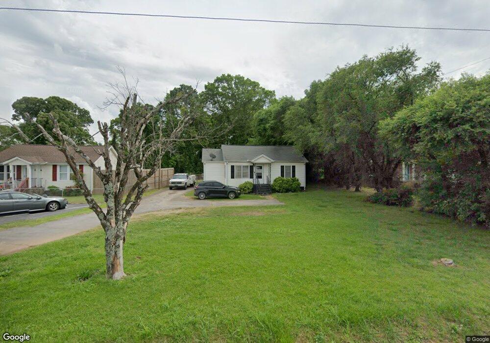
638 E Mcintosh Rd Griffin, GA 30223
Spalding County NeighborhoodEstimated Value: $82,144 - $146,000
2
Beds
1
Bath
956
Sq Ft
$122/Sq Ft
Est. Value
About This Home
This home is located at 638 E Mcintosh Rd, Griffin, GA 30223 and is currently estimated at $116,286, approximately $121 per square foot. 638 E Mcintosh Rd is a home located in Spalding County with nearby schools including Atkinson Elementary School, Cowan Road Middle School, and Griffin High School.
Ownership History
Date
Name
Owned For
Owner Type
Purchase Details
Closed on
Jun 25, 2008
Sold by
Lovelady Eula E M
Bought by
Brown Tracy D
Current Estimated Value
Home Financials for this Owner
Home Financials are based on the most recent Mortgage that was taken out on this home.
Original Mortgage
$64,433
Outstanding Balance
$41,356
Interest Rate
5.97%
Mortgage Type
FHA
Estimated Equity
$74,930
Purchase Details
Closed on
Nov 19, 1971
Sold by
Martin J W
Bought by
Lovelady George P and Eula Estelle M
Purchase Details
Closed on
Nov 29, 1958
Bought by
Martin J W
Create a Home Valuation Report for This Property
The Home Valuation Report is an in-depth analysis detailing your home's value as well as a comparison with similar homes in the area
Home Values in the Area
Average Home Value in this Area
Purchase History
| Date | Buyer | Sale Price | Title Company |
|---|---|---|---|
| Brown Tracy D | $65,000 | -- | |
| Lovelady George P | $11,600 | -- | |
| Martin J W | $6,600 | -- |
Source: Public Records
Mortgage History
| Date | Status | Borrower | Loan Amount |
|---|---|---|---|
| Open | Brown Tracy D | $64,433 |
Source: Public Records
Tax History Compared to Growth
Tax History
| Year | Tax Paid | Tax Assessment Tax Assessment Total Assessment is a certain percentage of the fair market value that is determined by local assessors to be the total taxable value of land and additions on the property. | Land | Improvement |
|---|---|---|---|---|
| 2024 | $438 | $14,050 | $3,600 | $10,450 |
| 2023 | $438 | $13,259 | $3,600 | $9,659 |
| 2022 | $349 | $11,408 | $3,000 | $8,408 |
| 2021 | $278 | $9,446 | $3,000 | $6,446 |
| 2020 | $279 | $9,446 | $3,000 | $6,446 |
| 2019 | $387 | $12,212 | $3,000 | $9,212 |
| 2018 | $373 | $11,562 | $3,000 | $8,562 |
| 2017 | $363 | $11,562 | $3,000 | $8,562 |
| 2016 | $390 | $12,122 | $3,000 | $9,122 |
| 2015 | $403 | $12,122 | $3,000 | $9,122 |
| 2014 | $411 | $12,122 | $3,000 | $9,122 |
Source: Public Records
Map
Nearby Homes
- 0 Short St Unit 10555372
- 0 Short St Unit 7572526
- 418 E Northwoods Dr
- 126 Callie Rd
- 204 Derek Ct
- 1307 Wildwood Dr
- 829 E Mcintosh Rd
- 607 Lakewood Dr
- 1416 Spellman Ave
- 1406 Canterbury Rd
- 32 UNIT MUTLIPL Multiple
- 0 7 Unit PACKAGE
- 1324 Spellman Ave
- 186 Connally Place
- 103 Claire Ct
- 0 Tuskegee Ave Unit 7674017
- 1315 Greenbriar Dr
- 0 Jackson Rd Unit 10545729
- 221 Bleachery St
- 136 Henry Burch Dr
- 636 E Mcintosh Rd
- 640 E Mcintosh Rd
- 634 E Mcintosh Rd
- 632 E Mcintosh Rd
- 628 E Mcintosh Rd Unit 5
- 628 E Mcintosh Rd
- 1647 N Hill St
- 1649 N Hill St
- 648 E Mcintosh Rd
- 626 E Mcintosh Rd
- 2125 N Hill St
- 1633 N Hill St
- 317 A S Hill St St
- 701 E Mcintosh Rd
- 624 E Mcintosh Rd
- 1627 N Hill St
- 1308 E Bugle Ct
- 1660 Ext N Hill St
- 1660 N Hill St
- 1642 N Hill St