638 Ferret Cir Red Feather Lakes, CO 80545
Estimated Value: $217,000 - $345,000
1
Bed
--
Bath
560
Sq Ft
$462/Sq Ft
Est. Value
About This Home
This home is located at 638 Ferret Cir, Red Feather Lakes, CO 80545 and is currently estimated at $258,632, approximately $461 per square foot. 638 Ferret Cir is a home located in Larimer County with nearby schools including Red Feather Lakes Elementary School, Cache La Poudre Middle School, and Poudre High School.
Ownership History
Date
Name
Owned For
Owner Type
Purchase Details
Closed on
Nov 3, 2011
Sold by
Walbye George H
Bought by
Woods Gregory C and Woods Marcia L
Current Estimated Value
Home Financials for this Owner
Home Financials are based on the most recent Mortgage that was taken out on this home.
Original Mortgage
$56,000
Interest Rate
7%
Mortgage Type
Seller Take Back
Purchase Details
Closed on
May 1, 1989
Bought by
Walbye George H
Create a Home Valuation Report for This Property
The Home Valuation Report is an in-depth analysis detailing your home's value as well as a comparison with similar homes in the area
Home Values in the Area
Average Home Value in this Area
Purchase History
| Date | Buyer | Sale Price | Title Company |
|---|---|---|---|
| Woods Gregory C | $80,000 | Land Title Guarantee Company | |
| Walbye George H | $22,000 | -- |
Source: Public Records
Mortgage History
| Date | Status | Borrower | Loan Amount |
|---|---|---|---|
| Closed | Woods Gregory C | $56,000 |
Source: Public Records
Tax History Compared to Growth
Tax History
| Year | Tax Paid | Tax Assessment Tax Assessment Total Assessment is a certain percentage of the fair market value that is determined by local assessors to be the total taxable value of land and additions on the property. | Land | Improvement |
|---|---|---|---|---|
| 2025 | $1,236 | $18,224 | $4,489 | $13,735 |
| 2024 | $1,168 | $18,224 | $4,489 | $13,735 |
| 2022 | $740 | $8,862 | $2,822 | $6,040 |
| 2021 | $746 | $9,116 | $2,903 | $6,213 |
| 2020 | $656 | $7,936 | $2,395 | $5,541 |
| 2019 | $659 | $7,936 | $2,395 | $5,541 |
| 2018 | $591 | $7,366 | $2,124 | $5,242 |
| 2017 | $588 | $7,366 | $2,124 | $5,242 |
| 2016 | $608 | $7,562 | $2,149 | $5,413 |
| 2015 | $603 | $7,560 | $2,150 | $5,410 |
| 2014 | $508 | $6,330 | $2,230 | $4,100 |
Source: Public Records
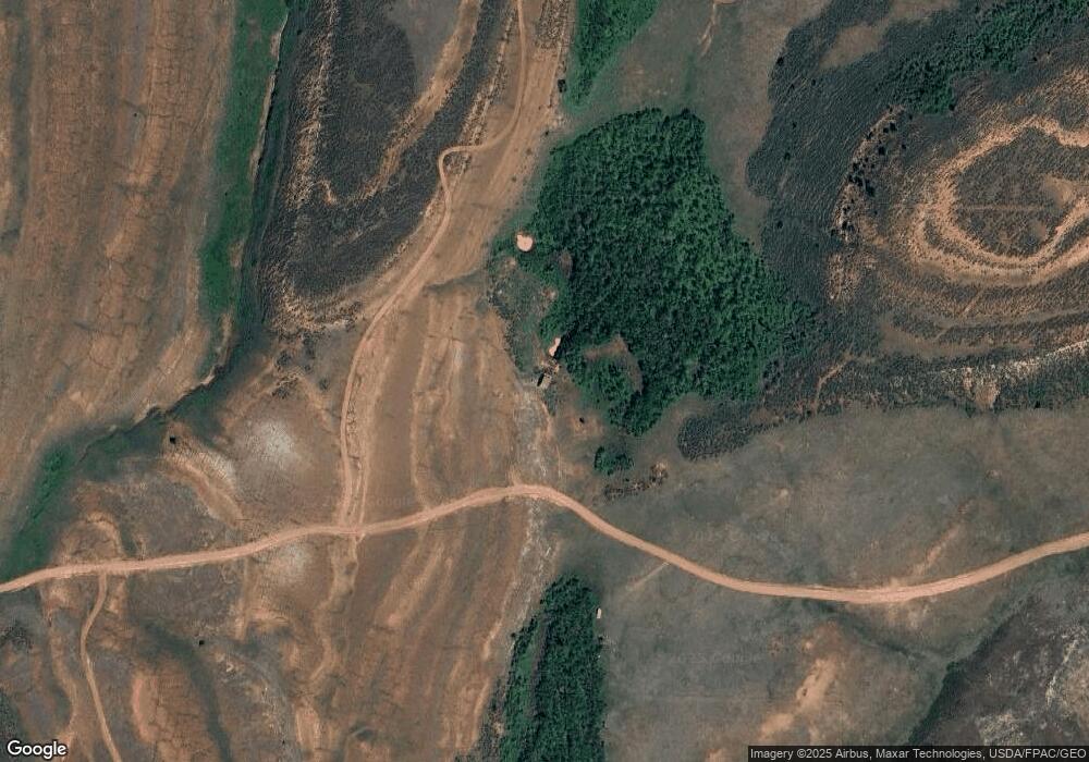
Map
Nearby Homes
- 209 Forb Ln
- 867 Windy Ridge Rd
- 0 Plano Dr Unit 11552692
- 0 Plano Dr Unit 1041164
- 3513 County Road 89
- 195 Forest Service Cir
- 169 Forest Service Cir
- 6215 Mill Creek Rd
- 0 Forest Service Rd Unit 1041561
- 0 Tbd Fs Road 195
- 0 Forest Service 169 Rd Unit Tract 7 1034883
- 0 Forest Service 169 Rd Unit Parcel 3 1034255
- 460 Mescalero Dr
- 754 Mescalero Dr
- 126 Pensacola Ct
- 227 Micmac Dr
- 3706 Ottawa Way
- 1244 Mosquito Dr
- 170 Penobscot Ct
- 89 Suma Ct
- 0 Mountain Ridge Rd Unit RECIR987862
- 2388 Ferret Cir
- 0 Honeymoon Ridge
- 550 Honeymoon Ridge
- 0 Tbd Forb Ln
- 999 N County Road 89
- 287 Ferret Cir
- 450 Mountain Ridge Rd
- 740 Mushroom Rock Rd
- 475 Forb Ln
- 0 Sand Creek Rd Unit 886354
- 0 Sand Creek Rd Unit 885966
- 0 Sand Creek Rd Unit 884610
- 0 Sand Creek Rd Unit 681677
- 1815 N County Road 89
- 3490 Plano Dr
- 596 Honeymoon Ridge
- 1245 Plano Rd
- 155 Muskrat Rd