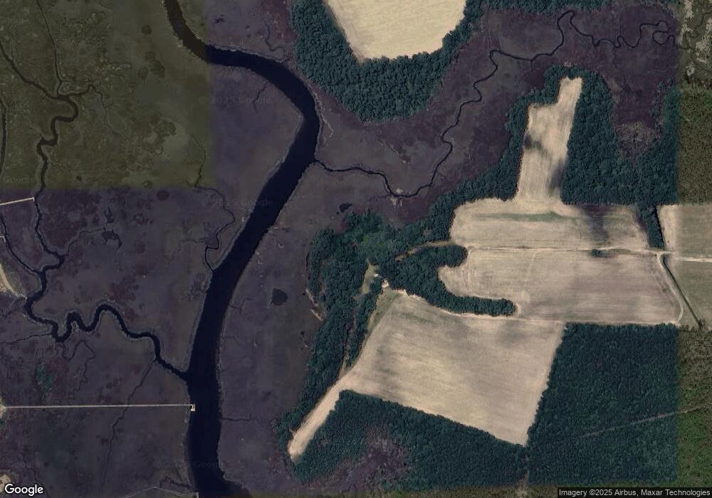
638 Hardesty Farm Rd Newport, NC 28570
Estimated Value: $84,000 - $373,000
3
Beds
2
Baths
2,212
Sq Ft
$106/Sq Ft
Est. Value
About This Home
This home is located at 638 Hardesty Farm Rd, Newport, NC 28570 and is currently estimated at $234,341, approximately $105 per square foot. 638 Hardesty Farm Rd is a home with nearby schools including Beaufort Elementary School, Beaufort Middle School, and East Carteret High School.
Ownership History
Date
Name
Owned For
Owner Type
Purchase Details
Closed on
Dec 4, 2012
Sold by
Taylro Edward and Taylor Lori L
Bought by
Small Rhonda T
Current Estimated Value
Purchase Details
Closed on
Sep 28, 2010
Sold by
Small Rhonda T
Bought by
Small Rhonda T and Taylor Edward
Purchase Details
Closed on
May 20, 2005
Sold by
Taylor Patsy B
Bought by
Taylor Patsy B and The Patsy B Taylor Revocable Trust
Purchase Details
Closed on
May 13, 2005
Sold by
Taylor Patsy B
Bought by
Small Rhonda T and The Patsy B Taylor Irrevocable Trust
Create a Home Valuation Report for This Property
The Home Valuation Report is an in-depth analysis detailing your home's value as well as a comparison with similar homes in the area
Home Values in the Area
Average Home Value in this Area
Purchase History
| Date | Buyer | Sale Price | Title Company |
|---|---|---|---|
| Small Rhonda T | -- | None Available | |
| Small Rhonda T | -- | None Available | |
| Taylor Patsy B | -- | None Available | |
| Small Rhonda T | -- | None Available |
Source: Public Records
Tax History Compared to Growth
Tax History
| Year | Tax Paid | Tax Assessment Tax Assessment Total Assessment is a certain percentage of the fair market value that is determined by local assessors to be the total taxable value of land and additions on the property. | Land | Improvement |
|---|---|---|---|---|
| 2025 | $475 | $96,554 | $81,448 | $15,106 |
| 2024 | $489 | $77,330 | $76,616 | $714 |
| 2023 | $563 | $77,330 | $76,616 | $714 |
| 2022 | $555 | $77,330 | $76,616 | $714 |
| 2021 | $0 | $79,166 | $76,616 | $2,550 |
| 2020 | $607 | $79,166 | $76,616 | $2,550 |
| 2019 | $611 | $82,826 | $80,449 | $2,377 |
| 2017 | $594 | $82,826 | $80,449 | $2,377 |
| 2016 | $582 | $82,826 | $80,449 | $2,377 |
| 2015 | $573 | $82,826 | $80,449 | $2,377 |
| 2014 | -- | $73,585 | $71,124 | $2,461 |
Source: Public Records
Map
Nearby Homes
- 212 Settlement Ln
- 303 Mayflower Dr
- 205 Hardesty Farm Rd
- 3115 Mill Creek Rd
- 3032 Mill Creek Rd
- 2944 Mill Creek Rd
- 991 Hardesty Loop Rd
- 295 Old Winberry Rd
- 107 Seahorse Dr
- 105 Seahorse Dr
- 102 Sand Dollar Ct
- 510 Shipmast Ct
- 209 Shore Rd
- 134 Madison Bay Dr
- 107 Madison Bay Dr
- 919 Eastman Creek Dr
- 119 Rv Park Dr
- 811 Sea Chaser Ct
- 291 Core Creek Rd
- 2312 Crab Point Loop Rd
- 412 Madewood Ln
- 414 Madewood Ln
- 416 Madewood Ln Unit 4
- 416 Madewood Ln
- 217 Settlement Ln
- 420 Madewood Ln
- 408 Madewood Ln
- 410 Madewood Ln
- 215 Settlement Ln
- 422 Madewood Ln
- 213 Settlement Ln
- 404 Madewood Ln
- 221 Settlement Ln
- 426 Madewood Ln
- 919 Hardesty Farm Rd
- 0 Hardesty Farm Rd
- 000 Hardesty Farm Rd
- 304 Mayflower Dr
- 203 Settlement Ln
- 203 Settlement Ln Unit 14
