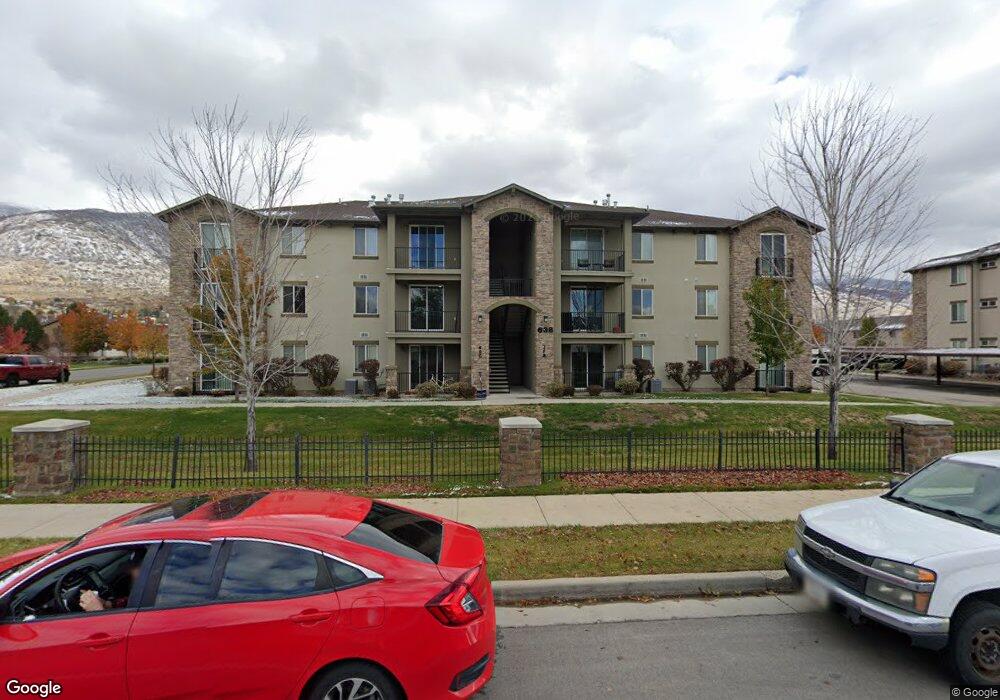
638 N 400 W Unit D Centerville, UT 84014
Estimated Value: $354,000 - $384,000
3
Beds
2
Baths
1,389
Sq Ft
$268/Sq Ft
Est. Value
About This Home
This home is located at 638 N 400 W Unit D, Centerville, UT 84014 and is currently estimated at $372,274, approximately $268 per square foot. 638 N 400 W Unit D is a home located in Davis County with nearby schools including Centerville Elementary, Centerville Jr High, and Viewmont High School.
Ownership History
Date
Name
Owned For
Owner Type
Purchase Details
Closed on
May 10, 2023
Sold by
Bernhardt Henry
Bought by
Tom Owens Trust
Current Estimated Value
Purchase Details
Closed on
Jun 27, 2016
Sold by
Bernhardt Henry S
Bought by
Bernhardt Henry and Bernhardt Barbara R
Purchase Details
Closed on
May 29, 2012
Sold by
Cityview Pineae Village 227 Lp
Bought by
Bates Brandon L and Bates Anni D
Home Financials for this Owner
Home Financials are based on the most recent Mortgage that was taken out on this home.
Original Mortgage
$129,200
Interest Rate
3.86%
Mortgage Type
New Conventional
Create a Home Valuation Report for This Property
The Home Valuation Report is an in-depth analysis detailing your home's value as well as a comparison with similar homes in the area
Home Values in the Area
Average Home Value in this Area
Purchase History
| Date | Buyer | Sale Price | Title Company |
|---|---|---|---|
| Tom Owens Trust | -- | Highland Title | |
| Bernhardt Henry | -- | North American Title | |
| Bernhardt Henry | -- | Northwest Title | |
| Bates Brandon L | -- | Bonneville Superior T |
Source: Public Records
Mortgage History
| Date | Status | Borrower | Loan Amount |
|---|---|---|---|
| Previous Owner | Bates Brandon L | $129,200 |
Source: Public Records
Tax History Compared to Growth
Tax History
| Year | Tax Paid | Tax Assessment Tax Assessment Total Assessment is a certain percentage of the fair market value that is determined by local assessors to be the total taxable value of land and additions on the property. | Land | Improvement |
|---|---|---|---|---|
| 2025 | $1,989 | $190,300 | $0 | $190,300 |
| 2024 | $1,832 | $178,200 | $0 | $178,200 |
| 2023 | $1,894 | $333,000 | $0 | $333,000 |
| 2022 | $1,892 | $183,150 | $33,000 | $150,150 |
| 2021 | $1,618 | $244,000 | $60,000 | $184,000 |
| 2020 | $1,466 | $221,000 | $41,600 | $179,400 |
| 2019 | $1,392 | $205,000 | $40,000 | $165,000 |
| 2018 | $1,313 | $191,000 | $34,000 | $157,000 |
| 2016 | $1,048 | $84,700 | $13,750 | $70,950 |
| 2015 | $1,005 | $76,615 | $13,750 | $62,865 |
| 2014 | $1,158 | $90,398 | $14,685 | $75,713 |
| 2013 | -- | $85,274 | $14,575 | $70,699 |
Source: Public Records
Map
Nearby Homes
- 493 W 620 N Unit 122
- 751 Pheasantbrook Dr
- 763 Pheasantbrook Dr
- 171 W 650 N
- 781 Pheasantbrook Dr
- 495 Creek View Rd
- 833 N Lakeside Ln
- 775 Pheasantbrook Cir
- 261 Park Ln
- 67 W Pheasantbrook Dr
- 147 W 925 N
- 271 Brookfield Ln
- 232 N 100 W
- 22 Creekside Ln
- 147 N 360 W Unit 21
- 1421 N Main St
- 1154 N 700 W
- 117 Cara Vella Ln
- 88 W 50 S Unit F9
- 1238 N 450 W
- 638 N 400 W Unit 302L
- 638 N 400 W Unit K
- 638 N 400 W Unit J
- 638 N 400 W Unit I
- 638 N 400 W Unit 302H
- 638 N 400 W Unit G
- 638 N 400 W Unit F
- 638 N 400 W Unit E
- 638 N 400 W
- 638 N 400 W Unit 302C
- 638 N 400 W Unit B
- 638 N 400 W Unit A
- 638 N 400 W Unit 302 A
- 638 N 400 W Unit 302-G
- 638 N 400 W Unit C
- 638 N 400 W Unit L
- 638 N 400 W Unit K
- 610 N 400 W Unit L
- 610 N 400 W Unit K
- 610 N 400 W Unit J