638 N Maple St Fowler, MI 48835
Estimated Value: $203,000 - $230,000
2
Beds
1
Bath
1,196
Sq Ft
$180/Sq Ft
Est. Value
About This Home
This home is located at 638 N Maple St, Fowler, MI 48835 and is currently estimated at $214,722, approximately $179 per square foot. 638 N Maple St is a home located in Clinton County with nearby schools including Waldron Elementary/Middle School, Fowler High School, and Most Holy Trinity School.
Ownership History
Date
Name
Owned For
Owner Type
Purchase Details
Closed on
Feb 7, 2019
Sold by
Wieber John E and Arnold P Wieber Living Tr Ust
Bought by
Bauer Steven G and Bauer Dianna L
Current Estimated Value
Home Financials for this Owner
Home Financials are based on the most recent Mortgage that was taken out on this home.
Interest Rate
4.41%
Purchase Details
Closed on
Nov 26, 2014
Sold by
Weiber John E
Bought by
Bauer Steven G and Bauer Dianna L
Create a Home Valuation Report for This Property
The Home Valuation Report is an in-depth analysis detailing your home's value as well as a comparison with similar homes in the area
Home Values in the Area
Average Home Value in this Area
Purchase History
| Date | Buyer | Sale Price | Title Company |
|---|---|---|---|
| Bauer Steven G | $105,000 | -- | |
| Bauer Steven G | $105,000 | None Available |
Source: Public Records
Mortgage History
| Date | Status | Borrower | Loan Amount |
|---|---|---|---|
| Closed | Bauer Steven G | -- |
Source: Public Records
Tax History Compared to Growth
Tax History
| Year | Tax Paid | Tax Assessment Tax Assessment Total Assessment is a certain percentage of the fair market value that is determined by local assessors to be the total taxable value of land and additions on the property. | Land | Improvement |
|---|---|---|---|---|
| 2025 | $2,765 | $82,700 | $19,800 | $62,900 |
| 2024 | $1,168 | $79,700 | $16,100 | $63,600 |
| 2023 | $1,109 | $72,500 | $0 | $0 |
| 2022 | $2,951 | $67,300 | $13,100 | $54,200 |
| 2021 | $2,879 | $63,000 | $12,600 | $50,400 |
| 2020 | $2,807 | $57,500 | $9,600 | $47,900 |
| 2019 | $2,515 | $54,800 | $8,200 | $46,600 |
| 2018 | $0 | $50,300 | $7,900 | $42,400 |
| 2017 | -- | $50,000 | $8,300 | $41,700 |
| 2016 | $2,338 | $47,100 | $8,300 | $38,800 |
| 2015 | -- | $47,600 | $0 | $0 |
| 2011 | -- | $63,900 | $0 | $0 |
Source: Public Records
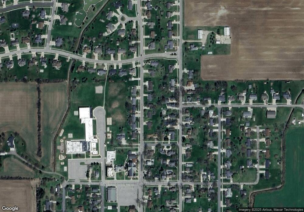
Map
Nearby Homes
- 10911 E Kent St
- 11040 W Ionia St
- Lot 8 N Wright Rd
- 11255 W Wayne St
- 982 Norway Dr
- 11138 W 2nd St
- V/L W M21
- 154 S Yates St
- 0 Yates St
- 9515 W Moss Rd
- 0 V/L W Colony Rd
- 5550 Paxton Rd
- 0 W Colony Unit 286993
- 0 W Colony Unit 292916
- 7240 Empire Rd
- 11670 Jessup Rd
- 8150 Idared Rd
- 7757 N Forest Hill Rd
- 8095 Mcintosh Rd
- 209 W Adelaide St