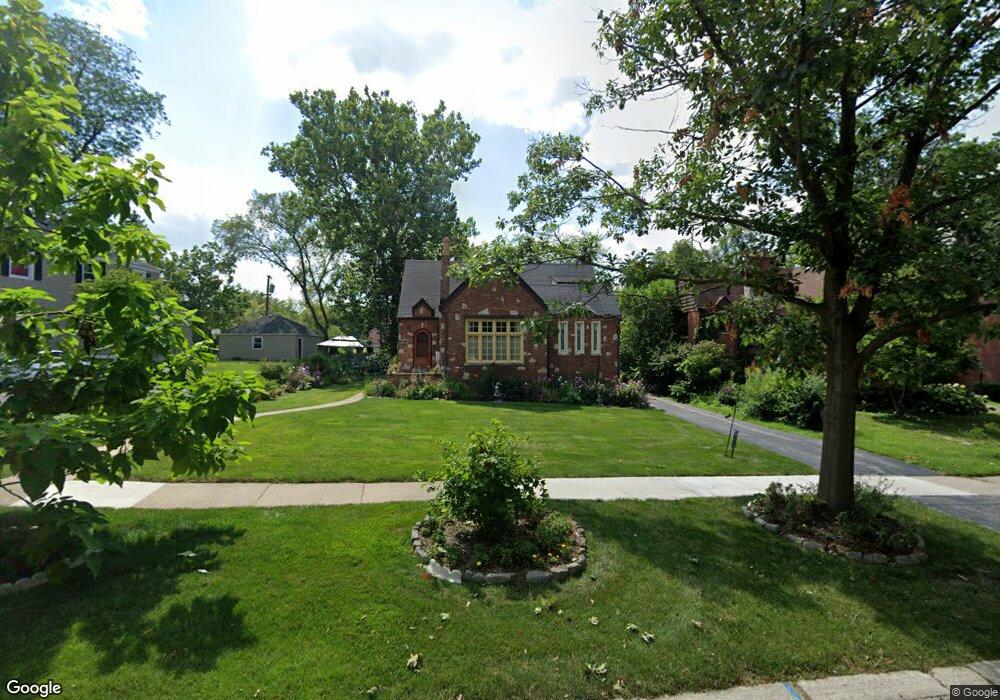
638 Perth Ave Flossmoor, IL 60422
Estimated Value: $310,000 - $376,000
4
Beds
3
Baths
2,098
Sq Ft
$164/Sq Ft
Est. Value
About This Home
This home is located at 638 Perth Ave, Flossmoor, IL 60422 and is currently estimated at $344,039, approximately $163 per square foot. 638 Perth Ave is a home located in Cook County with nearby schools including Western Avenue Elementary School, Parker Junior High School, and Homewood-Flossmoor High School.
Ownership History
Date
Name
Owned For
Owner Type
Purchase Details
Closed on
Sep 8, 1994
Sold by
Midgett Robert E and Cooper Therese
Bought by
Nicholas Ethel C
Current Estimated Value
Home Financials for this Owner
Home Financials are based on the most recent Mortgage that was taken out on this home.
Original Mortgage
$175,500
Interest Rate
8.44%
Create a Home Valuation Report for This Property
The Home Valuation Report is an in-depth analysis detailing your home's value as well as a comparison with similar homes in the area
Home Values in the Area
Average Home Value in this Area
Purchase History
| Date | Buyer | Sale Price | Title Company |
|---|---|---|---|
| Nicholas Ethel C | $199,000 | Attorneys Title Guaranty Fun |
Source: Public Records
Mortgage History
| Date | Status | Borrower | Loan Amount |
|---|---|---|---|
| Closed | Nicholas Ethel C | $175,500 |
Source: Public Records
Tax History
| Year | Tax Paid | Tax Assessment Tax Assessment Total Assessment is a certain percentage of the fair market value that is determined by local assessors to be the total taxable value of land and additions on the property. | Land | Improvement |
|---|---|---|---|---|
| 2025 | $10,933 | $29,000 | $6,559 | $22,441 |
| 2024 | $10,933 | $29,000 | $6,559 | $22,441 |
| 2023 | $8,249 | $29,000 | $6,559 | $22,441 |
| 2022 | $8,249 | $18,758 | $5,665 | $13,093 |
| 2021 | $8,312 | $18,757 | $5,664 | $13,093 |
| 2020 | $8,081 | $18,757 | $5,664 | $13,093 |
| 2019 | $9,788 | $21,592 | $5,068 | $16,524 |
| 2018 | $9,417 | $21,592 | $5,068 | $16,524 |
| 2017 | $9,276 | $21,592 | $5,068 | $16,524 |
| 2016 | $9,934 | $21,254 | $4,472 | $16,782 |
| 2015 | $9,914 | $21,254 | $4,472 | $16,782 |
| 2014 | $9,756 | $21,254 | $4,472 | $16,782 |
| 2013 | $8,300 | $20,001 | $4,472 | $15,529 |
Source: Public Records
Map
Nearby Homes
- 625 Perth Ave
- 625 Bruce Ave
- 712 Gardner Rd
- 18511 Argyle Ave
- 18530 Stedhall Rd
- 18509 Stedhall Rd
- 2303 Hutchison Rd
- 18441 Stewart Ave
- 18450 Stedhall Rd
- 725 Braemar Rd
- 846 Park Dr
- 18404 Perth Ave
- 18646 Palmer Cir
- 2323 Clyde Terrace
- 2807 Willow Rd Unit 103
- 18400 Cherry Creek Dr Unit 105
- 18537 Palmer Ave
- 2622 Central Dr Unit 2N
- 2640 Central Dr Unit 1-N
- 1002 Douglas Ave
Your Personal Tour Guide
Ask me questions while you tour the home.