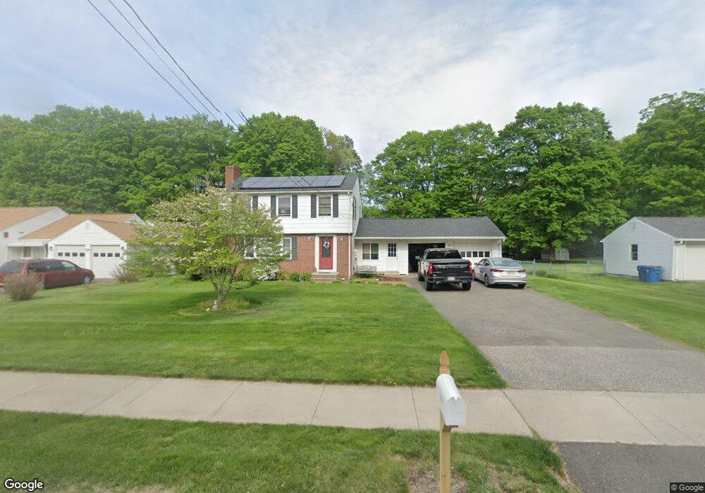
638 Rogers Ave West Springfield, MA 01089
Estimated Value: $305,000 - $365,521
3
Beds
2
Baths
1,425
Sq Ft
$241/Sq Ft
Est. Value
About This Home
This home is located at 638 Rogers Ave, West Springfield, MA 01089 and is currently estimated at $343,630, approximately $241 per square foot. 638 Rogers Ave is a home located in Hampden County with nearby schools including West Springfield High School and St Thomas The Apostle School.
Ownership History
Date
Name
Owned For
Owner Type
Purchase Details
Closed on
Jul 30, 2004
Sold by
Gagne Erin M and Ford Vivian M
Bought by
Gagne Brett R and Gagne Erin M
Current Estimated Value
Home Financials for this Owner
Home Financials are based on the most recent Mortgage that was taken out on this home.
Original Mortgage
$129,970
Outstanding Balance
$65,857
Interest Rate
6.33%
Mortgage Type
Purchase Money Mortgage
Estimated Equity
$277,773
Create a Home Valuation Report for This Property
The Home Valuation Report is an in-depth analysis detailing your home's value as well as a comparison with similar homes in the area
Home Values in the Area
Average Home Value in this Area
Purchase History
| Date | Buyer | Sale Price | Title Company |
|---|---|---|---|
| Gagne Brett R | $135,000 | -- |
Source: Public Records
Mortgage History
| Date | Status | Borrower | Loan Amount |
|---|---|---|---|
| Open | Gagne Brett R | $129,970 |
Source: Public Records
Tax History
| Year | Tax Paid | Tax Assessment Tax Assessment Total Assessment is a certain percentage of the fair market value that is determined by local assessors to be the total taxable value of land and additions on the property. | Land | Improvement |
|---|---|---|---|---|
| 2025 | $4,303 | $289,400 | $120,600 | $168,800 |
| 2024 | $4,095 | $276,500 | $120,600 | $155,900 |
| 2023 | $3,953 | $254,400 | $120,600 | $133,800 |
| 2022 | $3,611 | $229,100 | $109,500 | $119,600 |
| 2021 | $3,243 | $191,900 | $88,800 | $103,100 |
| 2020 | $3,237 | $190,500 | $88,800 | $101,700 |
| 2019 | $3,231 | $190,500 | $88,800 | $101,700 |
| 2018 | $3,248 | $190,500 | $88,800 | $101,700 |
| 2017 | $3,248 | $190,500 | $88,800 | $101,700 |
| 2016 | $3,211 | $189,000 | $83,600 | $105,400 |
| 2015 | $3,147 | $185,200 | $81,900 | $103,300 |
| 2014 | $763 | $185,200 | $81,900 | $103,300 |
Source: Public Records
Map
Nearby Homes
- 34 Pebble Path Ln
- 34 High Meadow Dr
- 66 Penrose Dr
- 0 Ahiska Rd Unit 73477754
- 791 Morgan Rd
- 17 Vincent Dr
- 86 Albert St
- 88 Verdugo St
- 240 Morton St
- 65 Verdugo St
- 1996 Westfield St
- 117 Sibley Ave
- 132 Lincoln St
- 156 Canterbury Way
- 36 Shady Brook
- 32 Glenview Dr
- 81 Chestnut St
- 2 Windpath E
- 404 Brush Hill Ave
- 32 Maple St
- 646 Rogers Ave
- 626 Rogers Ave
- 215 Forest Glen
- 616 Rogers Ave
- 658 Rogers Ave
- 225 Forest Glen
- 205 Forest Glen
- 235 Forest Glen
- 635 Rogers Ave
- 647 Rogers Ave
- 625 Rogers Ave
- 668 Rogers Ave
- 606 Rogers Ave
- 193 Forest Glen
- 615 Rogers Ave
- 657 Rogers Ave
- 245 Forest Glen
- 193 Forest Glen
- 202 Forest Glen
- 218 Forest Glen
Your Personal Tour Guide
Ask me questions while you tour the home.