638 Sherron Rd Durham, NC 27703
Eastern Durham NeighborhoodEstimated Value: $281,000 - $475,000
2
Beds
1
Bath
1,060
Sq Ft
$316/Sq Ft
Est. Value
About This Home
This home is located at 638 Sherron Rd, Durham, NC 27703 and is currently estimated at $335,128, approximately $316 per square foot. 638 Sherron Rd is a home located in Durham County with nearby schools including Spring Valley Elementary School, John W Neal Middle School, and Southern School of Energy & Sustainability.
Create a Home Valuation Report for This Property
The Home Valuation Report is an in-depth analysis detailing your home's value as well as a comparison with similar homes in the area
Home Values in the Area
Average Home Value in this Area
Tax History
| Year | Tax Paid | Tax Assessment Tax Assessment Total Assessment is a certain percentage of the fair market value that is determined by local assessors to be the total taxable value of land and additions on the property. | Land | Improvement |
|---|---|---|---|---|
| 2025 | $1,860 | $256,054 | $187,224 | $68,830 |
| 2024 | $787 | $80,459 | $61,956 | $18,503 |
| 2023 | $754 | $80,459 | $61,956 | $18,503 |
| 2022 | $730 | $80,459 | $61,956 | $18,503 |
| 2021 | $706 | $80,459 | $61,956 | $18,503 |
| 2020 | $690 | $80,459 | $61,956 | $18,503 |
| 2019 | $682 | $80,459 | $61,956 | $18,503 |
| 2018 | $456 | $49,360 | $49,360 | $0 |
| 2017 | $441 | $49,360 | $49,360 | $0 |
| 2016 | $427 | $49,360 | $49,360 | $0 |
| 2015 | $353 | $38,273 | $38,273 | $0 |
| 2014 | $355 | $38,273 | $38,273 | $0 |
Source: Public Records
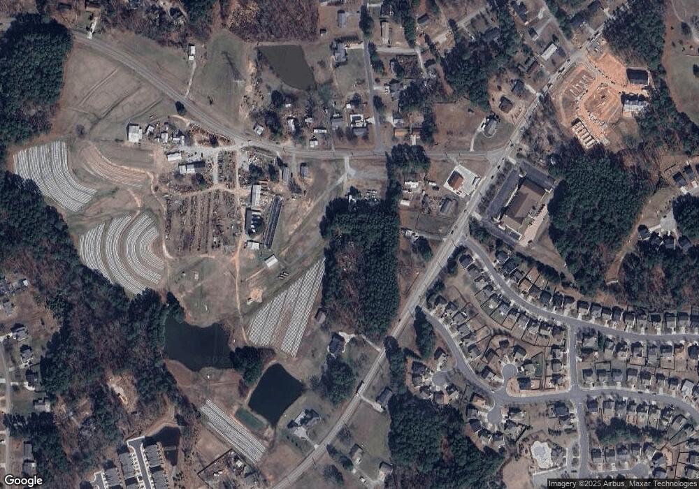
Map
Nearby Homes
- 517 Keith St
- 807 Outlaw Ave
- 1114 Blackthorn Ln
- 17 Plumleaf Ln
- 528 Plumleaf Ln
- 13 Blackthorn Ln
- 601 Crossing Dr
- 1112 Blackthorn Ln
- 442 Gus Rd
- 2208 Gilman St
- 819 Ember Dr
- 1204 Constellation Cir
- 1202 Constellation Cir
- 1200 Constellation Cir
- 1126 Constellation Cir
- 615 Southshore Pkwy
- 610 Sherron Rd
- 108 Putters Ct
- 1114 Constellation Cir
- 1017 Constellation Cir
Your Personal Tour Guide
Ask me questions while you tour the home.