638 Thompson Rd Marion, VA 24354
Estimated Value: $187,000 - $439,000
3
Beds
3
Baths
2,262
Sq Ft
$128/Sq Ft
Est. Value
About This Home
This home is located at 638 Thompson Rd, Marion, VA 24354 and is currently estimated at $289,486, approximately $127 per square foot. 638 Thompson Rd is a home located in Smyth County with nearby schools including Chilhowie Elementary School, Sugar Grove Elementary School, and Marion Middle School.
Ownership History
Date
Name
Owned For
Owner Type
Purchase Details
Closed on
Jan 28, 2011
Sold by
Debord Reece Edward and Gilley Debord Kathy Michelle
Bought by
Debord Reece Edward
Current Estimated Value
Home Financials for this Owner
Home Financials are based on the most recent Mortgage that was taken out on this home.
Original Mortgage
$146,000
Outstanding Balance
$5,636
Interest Rate
4.82%
Mortgage Type
New Conventional
Estimated Equity
$283,850
Create a Home Valuation Report for This Property
The Home Valuation Report is an in-depth analysis detailing your home's value as well as a comparison with similar homes in the area
Home Values in the Area
Average Home Value in this Area
Purchase History
| Date | Buyer | Sale Price | Title Company |
|---|---|---|---|
| Debord Reece Edward | -- | -- |
Source: Public Records
Mortgage History
| Date | Status | Borrower | Loan Amount |
|---|---|---|---|
| Open | Debord Reece Edward | $146,000 |
Source: Public Records
Tax History
| Year | Tax Paid | Tax Assessment Tax Assessment Total Assessment is a certain percentage of the fair market value that is determined by local assessors to be the total taxable value of land and additions on the property. | Land | Improvement |
|---|---|---|---|---|
| 2025 | $1,690 | $286,400 | $13,200 | $273,200 |
| 2024 | $1,690 | $286,400 | $13,200 | $273,200 |
| 2023 | $1,518 | $205,100 | $11,200 | $193,900 |
| 2022 | $1,518 | $205,100 | $11,200 | $193,900 |
| 2021 | $1,518 | $205,100 | $11,200 | $193,900 |
| 2020 | $1,518 | $205,100 | $11,200 | $193,900 |
| 2019 | $1,399 | $189,100 | $11,200 | $177,900 |
| 2018 | $1,399 | $189,100 | $11,200 | $177,900 |
| 2017 | $1,399 | $189,100 | $11,200 | $177,900 |
| 2016 | $1,399 | $189,100 | $11,200 | $177,900 |
| 2015 | $1,399 | $0 | $0 | $0 |
| 2014 | $1,439 | $0 | $0 | $0 |
Source: Public Records
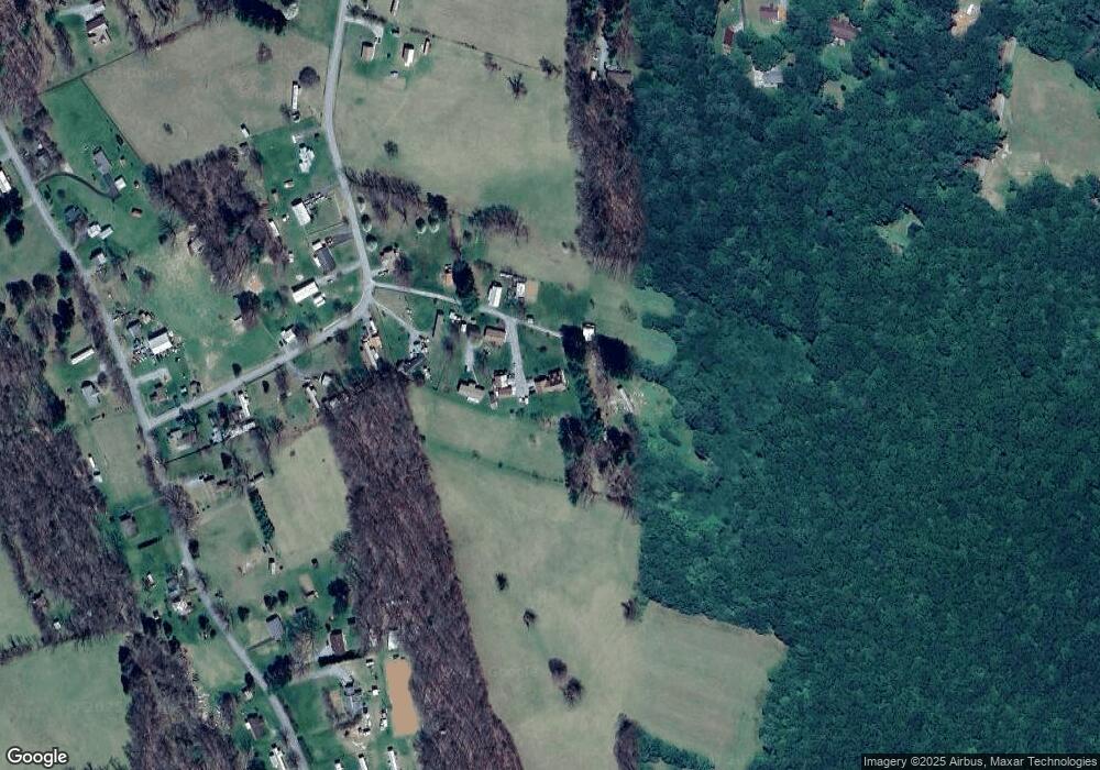
Map
Nearby Homes
- 564 Stoney Battery Rd
- 556 Stoney Battery Rd
- 265 Flatwoods Rd
- 450 Stoney Battery Rd
- 721 Thomas Bridge Rd
- 711 Thomas Bridge Rd
- TBD Granite Ln
- 450 Adwolfe Rd
- 2647 Teas Rd
- 787 Wet Springs Rd
- 122 Adwolfe Rd
- 2221 Daywood Ln
- 470 Riverside Rd
- TBD Saint Clairs Creek Rd
- 1190 Saint Clairs Creek Rd
- 1364 Saint Clairs Creek Rd
- 113 Four Apple Ave
- 154 North Dr
- 158 North Dr
- 710 Saint Clairs Creek Rd
- 627 Thompson Rd
- 632 Thompson Rd
- 622 Thompson Rd
- 661 Thompson Rd
- 614 Flatwoods Rd
- 527 Flatwoods Rd
- 513 Flatwoods Rd
- 516 Flatwoods Rd
- 543 Flatwoods Rd
- 504 Flatwoods Rd
- 540 Flatwoods Rd
- 477 Flatwoods Rd
- 490 Flatwoods Rd
- 428 Spring Hollow Rd
- 557 Flatwoods Rd
- 480 Flatwoods Rd
- 717 Stoney Battery Rd
- 707 Stoney Battery Rd
- 402 Spring Hollow Rd
- 757 Stoney Battery Rd
Your Personal Tour Guide
Ask me questions while you tour the home.